GOES-R Series Level 1b SEISS Energetic Heavy Ion Sensor (EHIS) Product in Daily Aggregations
Access & Use Information
Downloads & Resources
-
SEISS EHIS L1b daily files available for...
Files available for download. From the above URL, choose satellite (e.g.,...
-
GOES-16 SEISS EHIS L1b ReadMePDF
ReadMe file describing the GOES-16 SEISS EHIS L1b Full Validation Maturity data
-
GOES-17 SEISS EHIS L1b ReadMePDF
ReadMe file describing the GOES-17 SEISS EHIS L1b Provisional data
-
GOES-R Space Weather Data Access Information PageHTML
Website for information on GOES-R space weather data
-
NASA GCMD Keyword Community PageHTML
Overview of the NASA GCMD Keywords.
-
NASA GCMD Keyword Community PageHTML
Overview of the NASA GCMD Keywords.
-
NASA GCMD Keyword Community PageHTML
Overview of the NASA GCMD Keywords.
-
NASA GCMD Keyword Community PageHTML
Overview of the NASA GCMD Keywords.
-
NASA GCMD Keyword Community PageHTML
Overview of the NASA GCMD Keywords.
-
NASA GCMD Keyword Community PageHTML
Overview of the NASA GCMD Keywords.
-
NASA GCMD Keyword Community PageHTML
Overview of the NASA GCMD Keywords.
-
GOES-R Series Product Definition and User Guide (PUG)PDF
GOES-R Series PUG, Vol. 3 (L1b Products)
Dates
| Metadata Date | September 27, 2022 |
|---|---|
| Metadata Created Date | October 18, 2024 |
| Metadata Updated Date | October 18, 2024 |
| Reference Date(s) | July 11, 2018 (publication) |
| Frequency Of Update | daily |
Metadata Source
- ISO-19139 ISO-19139 Metadata
Harvested from NGDC STP Space Weather
Graphic Preview

Additional Metadata
| Resource Type | Dataset |
|---|---|
| Metadata Date | September 27, 2022 |
| Metadata Created Date | October 18, 2024 |
| Metadata Updated Date | October 18, 2024 |
| Reference Date(s) | July 11, 2018 (publication) |
| Responsible Party | NOAA National Centers for Environmental Information (Point of Contact) |
| Contact Email | |
| Guid | gov.noaa.ncei.swx:seis-l1b-ehis-goesr |
| Access Constraints | Cite this dataset when used as a source: GOES-R SEISS EHIS L1b Data in Daily Aggregations. NOAA National Centers for Environmental Information., NCEI cannot assume liability for any damages caused by any errors or omissions in the data, nor as a result of the failure of the data to function on a particular system. NCEI makes no warranty, expressed or implied, nor does the fact of distribution constitute such a warranty. NCEI can only certify that the data it distributes are an authentic copy of the records that were accepted for inclusion in the NCEI archives. |
| Coupled Resource | |
| Frequency Of Update | daily |
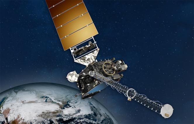
| Graphic Preview Description | NOAA GOES Spacecraft |
| Graphic Preview File | https://www.ncei.noaa.gov/pub/data/metadata/images/noaa_goesr_series_satellite_illustration.jpg |
| Graphic Preview Type | JPEG |
| Harvest Object Id | 12c6bcfd-5005-4b4c-816a-cd1abf3ef2a8 |
| Harvest Source Id | 720e273e-9143-4e92-8a4c-fe2bf3aacd0b |
| Harvest Source Title | NGDC STP Space Weather |
| Licence | The GOES-16 data have reached provisional maturity on July 11, 2018 and as of January 19, 2022 the EHIS L1b data are at Full Validation Maturity. Users receiving these data through any dissemination means assume all risk related to their use and NOAA disclaims any and all warranties, whether express or implied, including (without limitation) any implied warranties of merchantability or fitness for a particular purpose. |
| Lineage | This dataset was produced by NESDIS, and is archived at the NOAA National Centers for Environmental Information (NCEI). |
| Metadata Language | eng; USA |
| Metadata Type | geospatial |
| Progress | planned |
| Spatial Data Service Type | |
| Spatial Reference System | |
| Spatial Harvester | True |
| Temporal Extent Begin | 2019-01-01 |
Didn't find what you're looking for? Suggest a dataset here.

