

GOES-R PLT Fly's Eye GLM Simulator (FEGS) V1
Access & Use Information
Public: This dataset is intended for public access and use.
License: No license information was provided. If this work was prepared by an officer or employee of the United States government as part of that person's official duties it is considered a U.S. Government Work.
Downloads & Resources
-
Google Scholar search resultsHTML
Search results for publications that cite this dataset by its DOI.
-
Download this datasetHTML
Files may be downloaded directly to your workstation from this link
-
Get a related visualizationPNG
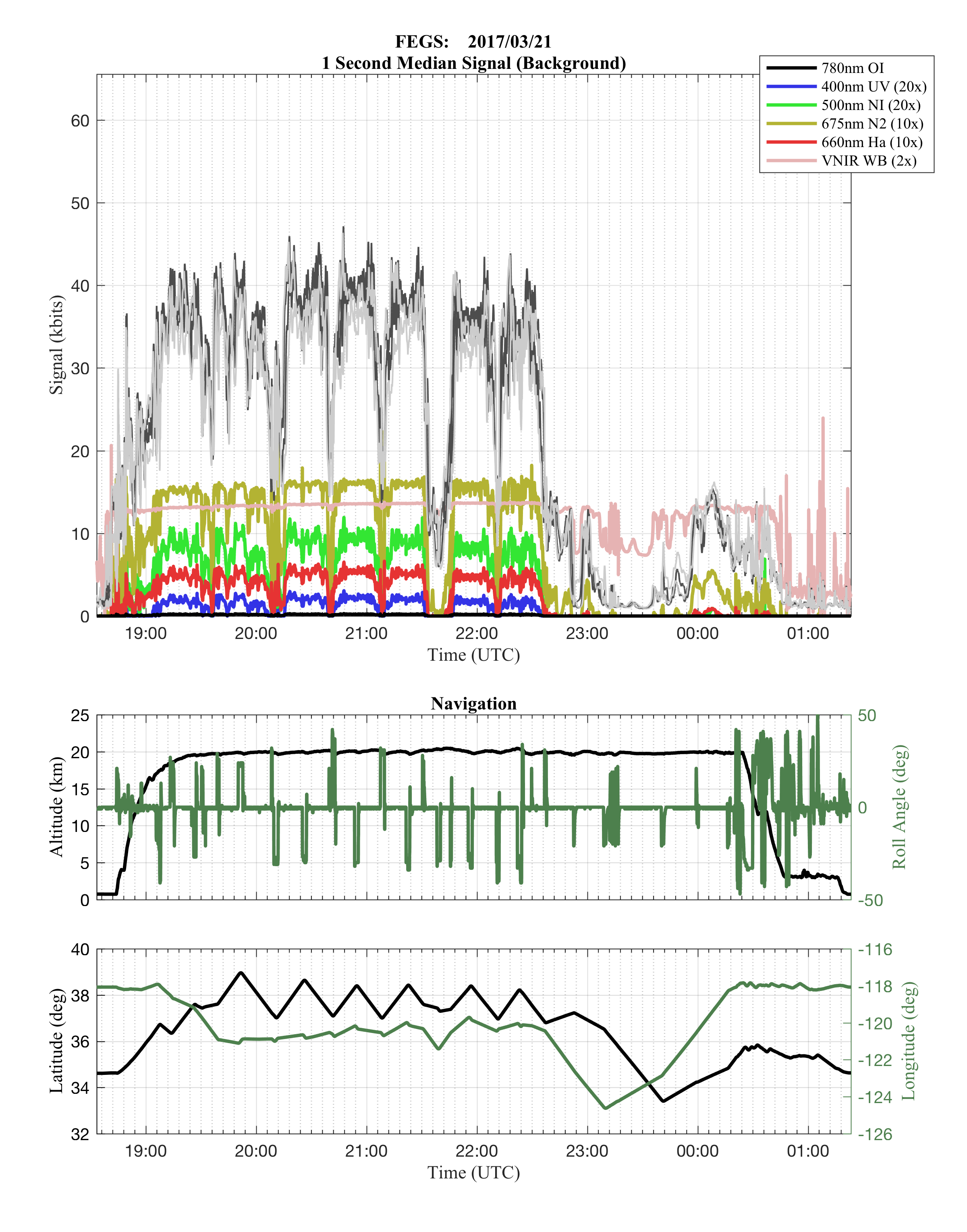
Sample Browse Image
-
View information related to this datasetHTML
GOES-R PLT Field Campaign Collection DOI
-
View documentation related to this datasetPDF
The guide document contains detailed information about the dataset
-
View this dataset's publicationsPDF
Airborne GLM simulator: Fly’s Eye GLM Simulator
-
View this dataset's publicationsPDF
Fly’s Eye GLM Simulator (FEGS)
-
Get a related visualizationHTML
Browse images illustrate the nature and coverage of the data
-
View documentation related to this datasetHTML
Instructions for citing GHRC data
-
Landing PageLanding Page
Dates
| Metadata Created Date | December 1, 2022 |
|---|---|
| Metadata Updated Date | April 11, 2025 |
Metadata Source
- Data.json Data.json Metadata
Harvested from NASA Data.json
Additional Metadata
| Resource Type | Dataset |
|---|---|
| Metadata Created Date | December 1, 2022 |
| Metadata Updated Date | April 11, 2025 |
| Publisher | NASA/MSFC/GHRC |
| Maintainer | |
| Identifier | C1979115640-GHRC_DAAC |
| Data First Published | 2019-04-05 |
| Language | en-US |
| Data Last Modified | 2025-03-31 |
| Category | GOES-R PLT, geospatial |
| Public Access Level | public |
| Bureau Code | 026:00 |
| Metadata Context | https://project-open-data.cio.gov/v1.1/schema/catalog.jsonld |
| Schema Version | https://project-open-data.cio.gov/v1.1/schema |
| Catalog Describedby | https://project-open-data.cio.gov/v1.1/schema/catalog.json |
| Harvest Object Id | 7798556e-1c77-4d80-b8f7-84fda78d8470 |
| Harvest Source Id | 58f92550-7a01-4f00-b1b2-8dc953bd598f |
| Harvest Source Title | NASA Data.json |
| Homepage URL | https://doi.org/10.5067/GOESRPLT/FEGS/DATA101 |
| Metadata Type | geospatial |
| Old Spatial | -124.624 26.4493 -72.2019 43.5724 |
| Program Code | 026:001 |
| Source Datajson Identifier | True |
| Source Hash | 4e233856d08bf8fe66318293efac2eed83b15d105feb13fd0391f998af639ffa |
| Source Schema Version | 1.1 |
| Spatial | |
| Temporal | 2017-03-21T18:33:15Z/2017-05-17T09:59:10Z |
Didn't find what you're looking for? Suggest a dataset here.