GEOS-2 International Optical Beacon Data Input V001 (GEOS2OBSINPUTINTL) at GES DISC
Access & Use Information
Downloads & Resources
-
Google Scholar search resultsHTML
Search results for publications that cite this dataset by its DOI.
-
Get a related visualizationPNG
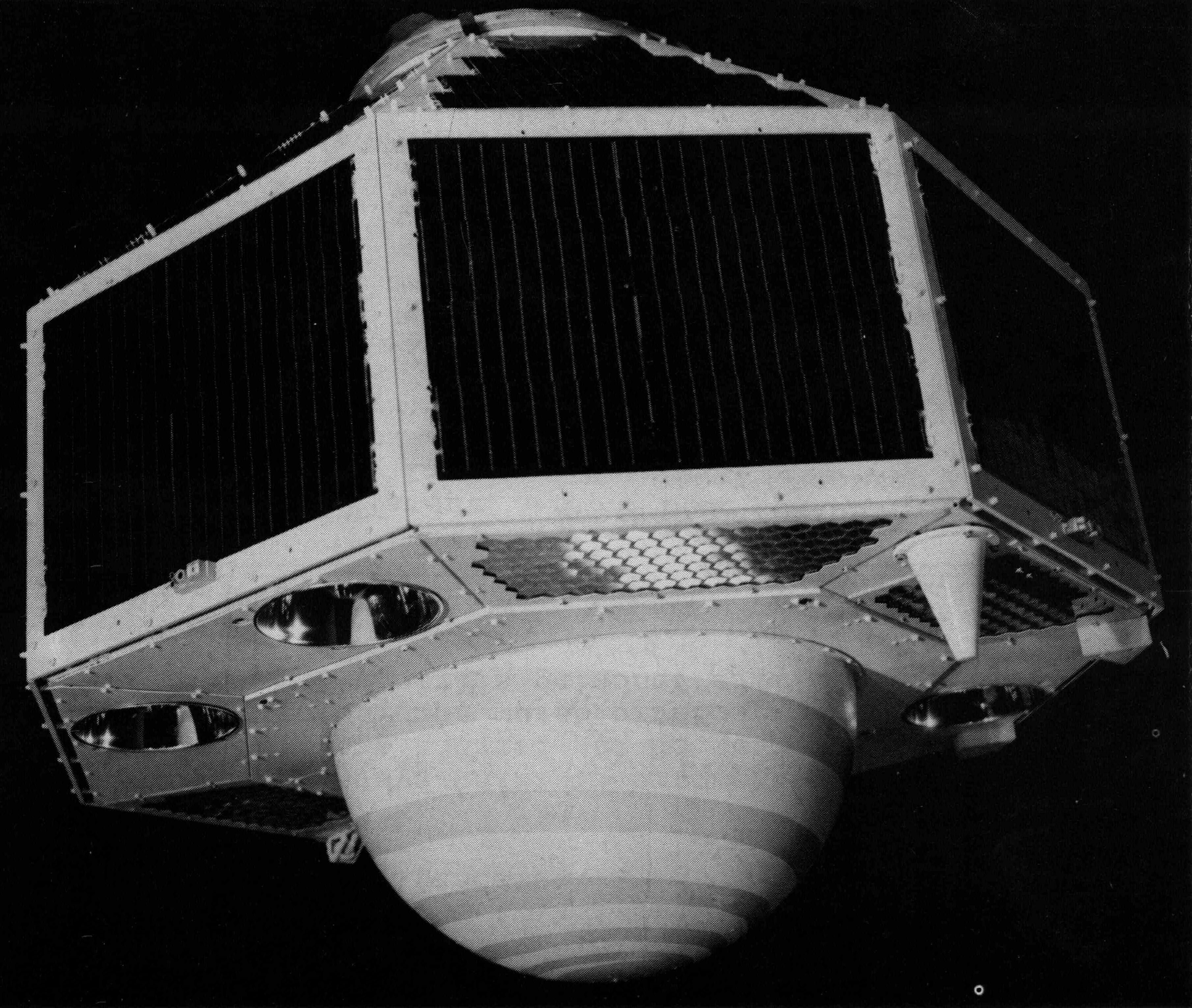
GEOS-1 satellite.
-
This dataset's landing pageHTML
Access the dataset landing page from the GES DISC website.
-
Download this dataset through a directory mapHTML
Access the data via HTTPS.
-
Download this dataset through Earthdata SearchHTML
Use the Earthdata Search to find and retrieve data sets across multiple data...
-
View this dataset's read me documentPDF
README Document
-
View documentation related to this datasetHTML
GEOS Inventory
-
Landing PageLanding Page
Dates
| Metadata Created Date | January 22, 2024 |
|---|---|
| Metadata Updated Date | January 22, 2024 |
Metadata Source
- Data.json Data.json Metadata
Harvested from NASA Data.json
Graphic Preview

Additional Metadata
| Resource Type | Dataset |
|---|---|
| Metadata Created Date | January 22, 2024 |
| Metadata Updated Date | January 22, 2024 |
| Publisher | 619 |
| Maintainer | |
| Identifier | C2801697484-GES_DISC |
| Data First Published | 2023-11-07 |
| Language | en-US |
| Data Last Modified | 2023-11-07 |
| Category | EOSDIS, geospatial |
| Public Access Level | public |
| Bureau Code | 026:00 |
| Metadata Context | https://project-open-data.cio.gov/v1.1/schema/catalog.jsonld |
| Metadata Catalog ID | https://data.nasa.gov/data.json |
| Schema Version | https://project-open-data.cio.gov/v1.1/schema |
| Catalog Describedby | https://project-open-data.cio.gov/v1.1/schema/catalog.json |
| Citation | R. E. Williston. 2023-11-09. GEOS2OBSINPUTINTL. Version 001. GEOS-2 International Optical Beacon Data Input V001. Greenbelt, MD, USA. Archived by National Aeronautics and Space Administration, U.S. Government, Goddard Earth Sciences Data and Information Services Center (GES DISC). https://doi.org/10.5067/FAUEMZ7O9M5M. https://disc.gsfc.nasa.gov/datacollection/GEOS2OBSINPUTINTL_001.html. Digital Science Data. |
| Creator | R. E. Williston |
| Data Presentation Form | Digital Science Data |
| Graphic Preview Description | GEOS-1 satellite. |
| Graphic Preview File | https://docserver.gesdisc.eosdis.nasa.gov/public/project/Images/GEOS2OBSINPUTINTL_Sample.png |
| Harvest Object Id | 048c0fc8-3e46-466c-a086-302675e532f9 |
| Harvest Source Id | 58f92550-7a01-4f00-b1b2-8dc953bd598f |
| Harvest Source Title | NASA Data.json |
| Homepage URL | https://doi.org/10.5067/FAUEMZ7O9M5M |
| Metadata Type | geospatial |
| Old Spatial | -180.0 -90.0 179.0 90.0 |
| Program Code | 026:001 |
| Release Place | Greenbelt, MD, USA |
| Series Name | GEOS2OBSINPUTINTL |
| Source Datajson Identifier | True |
| Source Hash | 8cf66a100db605ac7922c3a7b5544b50417a13eb23a3b8aaee92d73bc6d3d365 |
| Source Schema Version | 1.1 |
| Spatial | |
| Temporal | 1968-02-20T00:00:00Z/1968-10-03T23:59:59.999Z |
Didn't find what you're looking for? Suggest a dataset here.

