

G-LiHT Digital Terrain Model KML V001
Access & Use Information
Public: This dataset is intended for public access and use.
License: No license information was provided. If this work was prepared by an officer or employee of the United States government as part of that person's official duties it is considered a U.S. Government Work.
Downloads & Resources
-
Data Information (Unknown Format)BIN
-
Data Information (HTML)HTML
GLDTMK.001
-
Data Information (Unknown Format)BIN
-
Data Information (Unknown Format)BIN
-
Data Information (PDF)PDF
G-LiHT_User_Guide_V4.pdf
-
Data Information (PNG)PNG
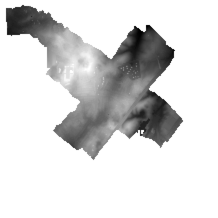
GLDTMK_Harrisonburg_boresight_June2018_DTM.1.png
-
Landing PageLanding Page
Dates
| Metadata Created Date | April 11, 2025 |
|---|---|
| Metadata Updated Date | September 19, 2025 |
Metadata Source
- Data.json Data.json Metadata
Harvested from NASA Data.json
Additional Metadata
| Resource Type | Dataset |
|---|---|
| Metadata Created Date | April 11, 2025 |
| Metadata Updated Date | September 19, 2025 |
| Publisher | LP DAAC;NASA/GSFC/SED/ESD |
| Maintainer | |
| Identifier | 10.5067/Community/GLIHT/GLDTMK.001 |
| Data Last Modified | 2025-09-11 |
| Category | Earth Science |
| Public Access Level | public |
| Bureau Code | 026:00 |
| Metadata Context | https://project-open-data.cio.gov/v1.1/schema/catalog.jsonld |
| Schema Version | https://project-open-data.cio.gov/v1.1/schema |
| Catalog Describedby | https://project-open-data.cio.gov/v1.1/schema/catalog.json |
| Harvest Object Id | 8dce82fb-5122-4053-b8a1-d0089800d974 |
| Harvest Source Id | 58f92550-7a01-4f00-b1b2-8dc953bd598f |
| Harvest Source Title | NASA Data.json |
| Homepage URL | https://search.earthdata.nasa.gov/search?q=C2763264719-LPCLOUD |
| Old Spatial | {"NorthBoundingCoordinate":73,"WestBoundingCoordinate":-170,"EastBoundingCoordinate":-50,"SouthBoundingCoordinate":10},"GEODETIC" |
| Program Code | 026:000 |
| Source Datajson Identifier | True |
| Source Hash | ea4b0d8ce8e11a8ac16cf9865dfe36772bc7c9875f0fab35d985cef8eac02edb |
| Source Schema Version | 1.1 |
| Spatial | |
| Temporal | 2011-06-30/2011-06-30 |
Didn't find what you're looking for? Suggest a dataset here.