

Data Information (JPEG)
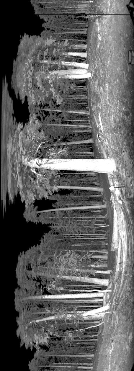
2008_Site305_Centre_Scan17_ND015_AT_project_Mean_range2.jpg
Source: ECHIDNA LIDAR Campaigns: Forest Canopy Imagery and Field Data, U.S.A., 2007-2009
About this Resource
| Last updated | unknown |
|---|---|
| Created | unknown |
| Name | Data Information (JPEG) |
| Format | JPEG Image File |
| License | License not specified |
| Created | 3 months ago |
| Media type | image/jpeg |
| has views | False |
| id | 8333d888-5933-4e18-bd19-05383835b5b6 |
| metadata modified | 3 months ago |
| package id | a947dae1-8bcd-483f-a8bf-dfecaa1551be |
| position | 115 |
| state | active |
| tracking summary | {'total': 0, 'recent': 0} |