

ECCO Ocean Three-Dimensional Volume Fluxes - Monthly Mean llc90 Grid (Version 4 Release 4)
Access & Use Information
Public: This dataset is intended for public access and use.
License:
See this page for license information.
Downloads & Resources
-
Web ResourceBIN
-
Web ResourceBIN
-
Web ResourceBIN
-
Web ResourceBIN
-
PDF FilePDF
v4r4_reproduction_howto.pdf
-
Web ResourceBIN
-
PDF FilePDF
v4r4_user_guide.pdf
-
PDF FilePDF
v4r4_synopsis.pdf
-
Web ResourceBIN
-
PDF FilePDF
v4r4_overview_plots.pdf
-
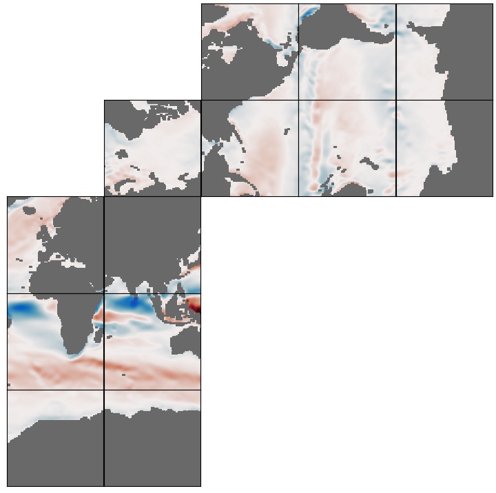
JPEG Image FileJPEG
ECCO_L4_OCEAN_3D_VOLUME_FLUX_LLC0090GRID_MONTHLY_V4R4.jpg
-
Web PageHTML
-
Web ResourceBIN
-
Web ResourceBIN
-
Web ResourceBIN
-
Original MetadataISO
The metadata's original source.
Dates
| Metadata Created Date | April 11, 2025 |
|---|---|
| Metadata Updated Date | March 13, 2026 |
Metadata Source
- Data.json Data.json Metadata
Harvested from NASA Data.json
Additional Metadata
| Resource Type | Dataset |
|---|---|
| Metadata Created Date | April 11, 2025 |
| Metadata Updated Date | March 13, 2026 |
| Publisher | NASA/JPL/PODAAC |
| Maintainer | |
| Identifier | 10.5067/ECL5M-3VF44 |
| Data Last Modified | 2026-03-10 |
| Category | Earth Science |
| Public Access Level | public |
| Bureau Code | 026:00 |
| Metadata Context | https://project-open-data.cio.gov/v1.1/schema/catalog.jsonld |
| Schema Version | https://project-open-data.cio.gov/v1.1/schema |
| Catalog Describedby | https://project-open-data.cio.gov/v1.1/schema/catalog.json |
| Harvest Object Id | 14d2c1aa-7fec-47e0-852a-927d871e4059 |
| Harvest Source Id | 58f92550-7a01-4f00-b1b2-8dc953bd598f |
| Harvest Source Title | NASA Data.json |
| License | https://www.usa.gov/government-works |
| Old Spatial | "CARTESIAN",{"NorthBoundingCoordinate":90.0,"WestBoundingCoordinate":-180.0,"EastBoundingCoordinate":180.0,"SouthBoundingCoordinate":-90.0} |
| Program Code | 026:000 |
| Source Datajson Identifier | True |
| Source Hash | 39a09e1406c671a220e1ee74865c382bf0095c1c8df6f282d3dded798aed1c7d |
| Source Schema Version | 1.1 |
| Spatial | |
| Temporal | 1992-01-01/2018-01-01 |
Didn't find what you're looking for? Suggest a dataset here.