

CarbonTracker-Lagrange North America OCO-2 Vertical Profile of Footprints V1 (CMS_CTL_NA_OCO2_FOOTPRINTS)
Access & Use Information
Public: This dataset is intended for public access and use.
License: No license information was provided. If this work was prepared by an officer or employee of the United States government as part of that person's official duties it is considered a U.S. Government Work.
Downloads & Resources
-
Data Information (PNG)PNG
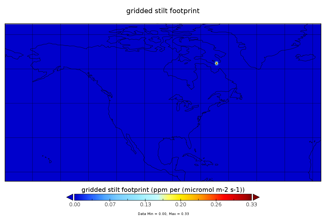
CMS_CTL_NA_OCO2_FOOTPRINTS_1.png
-
Data Information (HTML)HTML
CMS_CTL_NA_OCO2_FOOTPRINTS_1.html
-
Data Information (Unknown Format)BIN
-
Data Information (PDF)PDF
README.UserGuide_CMS_CTL_FOOTPRINTS.1.pdf
-
Data Information (Unknown Format)BIN
-
Data Information (Unknown Format)BIN
-
Data Information (Unknown Format)BIN
-
Landing PageLanding Page
Dates
| Metadata Created Date | April 11, 2025 |
|---|---|
| Metadata Updated Date | September 19, 2025 |
Metadata Source
- Data.json Data.json Metadata
Harvested from NASA Data.json
Additional Metadata
| Resource Type | Dataset |
|---|---|
| Metadata Created Date | April 11, 2025 |
| Metadata Updated Date | September 19, 2025 |
| Publisher | NASA/GSFC/SED/ESD/TISL/GESDISC |
| Maintainer | |
| Identifier | 10.5067/LBWCS6CTHX9D |
| Data Last Modified | 2025-09-10 |
| Category | Earth Science |
| Public Access Level | public |
| Bureau Code | 026:00 |
| Metadata Context | https://project-open-data.cio.gov/v1.1/schema/catalog.jsonld |
| Schema Version | https://project-open-data.cio.gov/v1.1/schema |
| Catalog Describedby | https://project-open-data.cio.gov/v1.1/schema/catalog.json |
| Harvest Object Id | 5d38fb9b-8382-4aec-8ee2-4c57951bd638 |
| Harvest Source Id | 58f92550-7a01-4f00-b1b2-8dc953bd598f |
| Harvest Source Title | NASA Data.json |
| Homepage URL | https://docserver.gesdisc.eosdis.nasa.gov/public/project/CMS/CMS_CTL_NA_OCO2_FOOTPRINTS_1.png |
| Old Spatial | "CARTESIAN",{"WestBoundingCoordinate":-179.5,"NorthBoundingCoordinate":79.5,"EastBoundingCoordinate":-0.5,"SouthBoundingCoordinate":-10.5} |
| Program Code | 026:000 |
| Source Datajson Identifier | True |
| Source Hash | c61c76cfeeca297799d472903deaba047756ec76164540632a58cfd3e7e57e2d |
| Source Schema Version | 1.1 |
| Spatial | |
| Temporal | 2014-08-27/2014-08-27 |
Didn't find what you're looking for? Suggest a dataset here.