

CAMEX-3 AMPR BRIGHTNESS TEMPERATURE (TB) V1
Access & Use Information
Public: This dataset is intended for public access and use.
License: No license information was provided. If this work was prepared by an officer or employee of the United States government as part of that person's official duties it is considered a U.S. Government Work.
Downloads & Resources
-
Data Information (Unknown Format)BIN
-
Data Information (Unknown Format)BIN
-
Data Information (Unknown Format)BIN
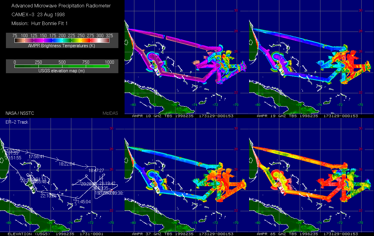
camex3_ampr_19980823_173129-000153.gif
-
Data Information (HTML)HTML
ampr_dataset.html
-
Data Information (PDF)PDF
ampr.pdf
-
Data Information (Unknown Format)BIN
-
Data Information (Unknown Format)BIN
-
Data Information (Unknown Format)BIN
-
Data Information (Unknown Format)BIN
-
Landing PageLanding Page
Dates
| Metadata Created Date | April 11, 2025 |
|---|---|
| Metadata Updated Date | September 19, 2025 |
Metadata Source
- Data.json Data.json Metadata
Harvested from NASA Data.json
Additional Metadata
| Resource Type | Dataset |
|---|---|
| Metadata Created Date | April 11, 2025 |
| Metadata Updated Date | September 19, 2025 |
| Publisher | NASA/MSFC/GHRC |
| Maintainer | |
| Identifier | 10.5067/CAMEX-3/AMPR/DATA101 |
| Data Last Modified | 2025-09-10 |
| Category | Earth Science |
| Public Access Level | public |
| Bureau Code | 026:00 |
| Metadata Context | https://project-open-data.cio.gov/v1.1/schema/catalog.jsonld |
| Schema Version | https://project-open-data.cio.gov/v1.1/schema |
| Catalog Describedby | https://project-open-data.cio.gov/v1.1/schema/catalog.json |
| Harvest Object Id | 5ac2e008-ce38-4562-bfb3-8293624cf3bd |
| Harvest Source Id | 58f92550-7a01-4f00-b1b2-8dc953bd598f |
| Harvest Source Title | NASA Data.json |
| Homepage URL | https://search.earthdata.nasa.gov/search?q=amprtbcx3 |
| Old Spatial | "CARTESIAN",{"WestBoundingCoordinate":-90.5462,"NorthBoundingCoordinate":35.6076,"EastBoundingCoordinate":-62.51,"SouthBoundingCoordinate":13.606} |
| Program Code | 026:000 |
| Source Datajson Identifier | True |
| Source Hash | 13a61fddf2783cbd35a7b1a0cd80e20708e64d3feebe9d8831b36e26b09c52f9 |
| Source Schema Version | 1.1 |
| Spatial | |
| Temporal | 1998-08-08/1998-08-08 |
Didn't find what you're looking for? Suggest a dataset here.