

AWI Moored ULS Data, Greenland Sea and Fram Strait, 1991-2002, Version 1
Access & Use Information
Public: This dataset is intended for public access and use.
License: No license information was provided. If this work was prepared by an officer or employee of the United States government as part of that person's official duties it is considered a U.S. Government Work.
Downloads & Resources
-
Data Information (Unknown Format)BIN
-
Data Information (HTML)HTML
-
Data Information (ZIP)ZIP
AVIRIS_FlightLine_Locator_2140.zip
-
Data Information (JPEG)JPEG
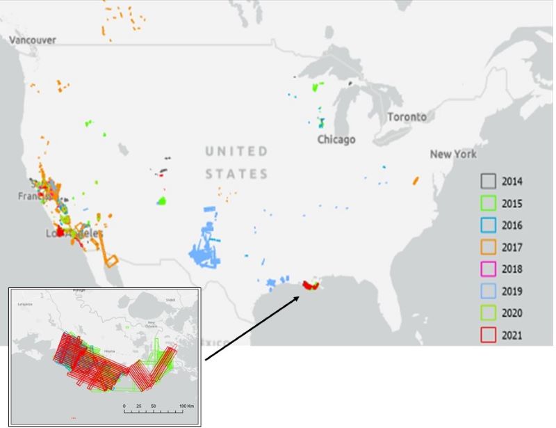
AVIRIS_FlightLine_Locator_Fig1.jpg
-
Data Information (PDF)PDF
AVIRIS_FlightLine_Locator.pdf
-
Landing PageLanding Page
Dates
| Metadata Created Date | April 11, 2025 |
|---|---|
| Metadata Updated Date | November 14, 2025 |
Metadata Source
- Data.json Data.json Metadata
Harvested from NASA Data.json
Additional Metadata
| Resource Type | Dataset |
|---|---|
| Metadata Created Date | April 11, 2025 |
| Metadata Updated Date | November 14, 2025 |
| Publisher | NSIDC |
| Maintainer | |
| Identifier | 10.7265/N5G15XSR |
| Data Last Modified | 2025-09-10 |
| Category | Earth Science |
| Public Access Level | public |
| Bureau Code | 026:00 |
| Metadata Context | https://project-open-data.cio.gov/v1.1/schema/catalog.jsonld |
| Schema Version | https://project-open-data.cio.gov/v1.1/schema |
| Catalog Describedby | https://project-open-data.cio.gov/v1.1/schema/catalog.json |
| Harvest Object Id | 734914a8-a11a-469c-b296-6c6af4e035ed |
| Harvest Source Id | 58f92550-7a01-4f00-b1b2-8dc953bd598f |
| Harvest Source Title | NASA Data.json |
| Homepage URL | https://noaadata.apps.nsidc.org/NOAA/G02139/ |
| Old Spatial | "CARTESIAN",{"WestBoundingCoordinate":2.0,"NorthBoundingCoordinate":79.0,"EastBoundingCoordinate":12.98333,"SouthBoundingCoordinate":74.4} |
| Program Code | 026:000 |
| Source Datajson Identifier | True |
| Source Hash | ab782bb0f6dd76584430fa33e093eb48717d27c0b84cb77853579d69c1ef1095 |
| Source Schema Version | 1.1 |
| Spatial | |
| Temporal | 1991-08-01/1991-08-01 |
Didn't find what you're looking for? Suggest a dataset here.