

ASTER Global Emissivity Dataset, 100 meter, HDF5 V003
Access & Use Information
Public: This dataset is intended for public access and use.
License: No license information was provided. If this work was prepared by an officer or employee of the United States government as part of that person's official duties it is considered a U.S. Government Work.
Downloads & Resources
-
Data Information (Unknown Format)BIN
AG100.003
-
Data Information (Unknown Format)BIN
-
Data Information (HTML)HTML
AG100.003
-
Data Information (Unknown Format)BIN
-
Data Information (Unknown Format)BIN
-
Data Information (Unknown Format)BIN
-
Data Information (PDF)PDF
ASTERGED_User_Guide_V3.pdf
-
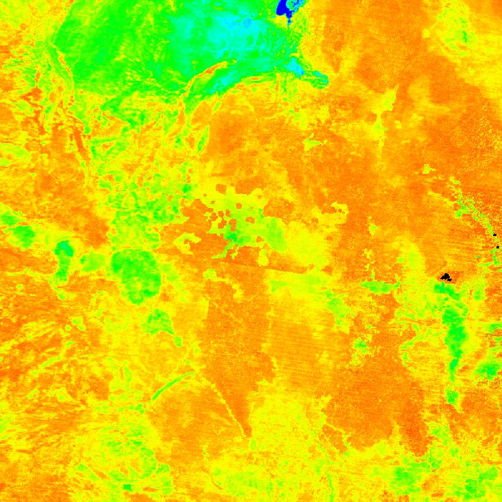
Data Information (JPEG)JPEG
AG100.v003.27.-104.0001.h5.2.jpg
-
Landing PageLanding Page
Dates
| Metadata Created Date | April 11, 2025 |
|---|---|
| Metadata Updated Date | September 19, 2025 |
Metadata Source
- Data.json Data.json Metadata
Harvested from NASA Data.json
Additional Metadata
| Resource Type | Dataset |
|---|---|
| Metadata Created Date | April 11, 2025 |
| Metadata Updated Date | September 19, 2025 |
| Publisher | LP DAAC;NASA/JPL/ASTER |
| Maintainer | |
| Identifier | 10.5067/COMMUNITY/ASTER_GED/AG100.003 |
| Data Last Modified | 2025-09-10 |
| Category | Earth Science |
| Public Access Level | public |
| Bureau Code | 026:00 |
| Metadata Context | https://project-open-data.cio.gov/v1.1/schema/catalog.jsonld |
| Schema Version | https://project-open-data.cio.gov/v1.1/schema |
| Catalog Describedby | https://project-open-data.cio.gov/v1.1/schema/catalog.json |
| Harvest Object Id | 08215b8f-e2da-4533-80a7-aa9bdaf5714a |
| Harvest Source Id | 58f92550-7a01-4f00-b1b2-8dc953bd598f |
| Harvest Source Title | NASA Data.json |
| Homepage URL | https://e4ftl01.cr.usgs.gov/ASTT/AG100.003/ |
| Old Spatial | {"NorthBoundingCoordinate":90,"WestBoundingCoordinate":-180,"EastBoundingCoordinate":180,"SouthBoundingCoordinate":-90},"CARTESIAN" |
| Program Code | 026:000 |
| Source Datajson Identifier | True |
| Source Hash | d9aecb88345a7105b814da5819c950e8d0e92acbdf3defab4f0bc5fce71cdb21 |
| Source Schema Version | 1.1 |
| Spatial | |
| Temporal | 2000-01-01/2000-01-01 |
Didn't find what you're looking for? Suggest a dataset here.