

Annual Aboveground Biomass Maps for Forests in the Northwestern USA, 2000-2016
Access & Use Information
Public: This dataset is intended for public access and use.
License: No license information was provided. If this work was prepared by an officer or employee of the United States government as part of that person's official duties it is considered a U.S. Government Work.
Downloads & Resources
-
Data Information (Unknown Format)BIN
-
Data Information (HTML)HTML
-
Data Information (PNG)PNG
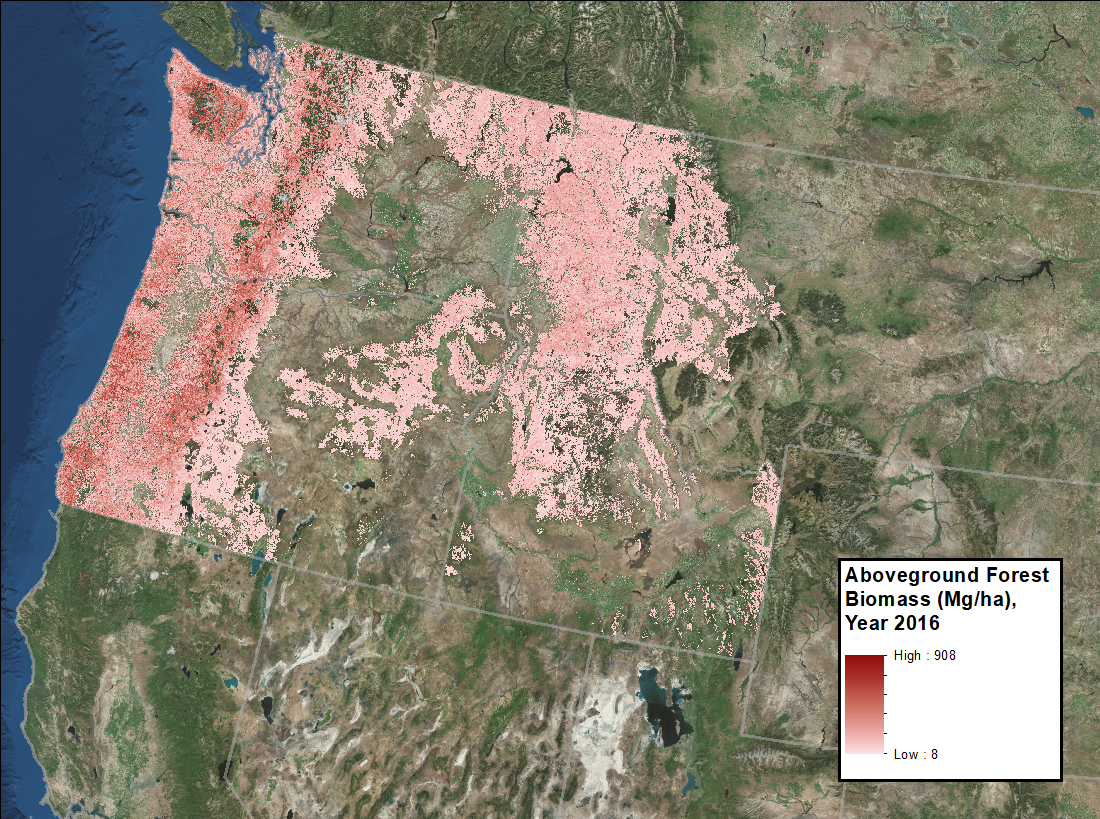
CMS_AGB_NW_USA_Fig1.png
-
Data Information (PDF)PDF
CMS_AGB_NW_USA.pdf
-
Landing PageLanding Page
Dates
| Metadata Created Date | April 11, 2025 |
|---|---|
| Metadata Updated Date | September 19, 2025 |
Metadata Source
- Data.json Data.json Metadata
Harvested from NASA Data.json
Additional Metadata
| Resource Type | Dataset |
|---|---|
| Metadata Created Date | April 11, 2025 |
| Metadata Updated Date | September 19, 2025 |
| Publisher | ORNL_DAAC |
| Maintainer | |
| Identifier | 10.3334/ORNLDAAC/1719 |
| Data Last Modified | 2025-09-10 |
| Category | Earth Science |
| Public Access Level | public |
| Bureau Code | 026:00 |
| Metadata Context | https://project-open-data.cio.gov/v1.1/schema/catalog.jsonld |
| Schema Version | https://project-open-data.cio.gov/v1.1/schema |
| Catalog Describedby | https://project-open-data.cio.gov/v1.1/schema/catalog.json |
| Harvest Object Id | 1ffb0b89-0471-4eef-9f12-d6fa2a4b163a |
| Harvest Source Id | 58f92550-7a01-4f00-b1b2-8dc953bd598f |
| Harvest Source Title | NASA Data.json |
| Homepage URL | https://search.earthdata.nasa.gov/search?q=CMS_AGB_NW_USA_1719&ac=true |
| Old Spatial | {"WestBoundingCoordinate":-127.524,"NorthBoundingCoordinate":50.7921,"EastBoundingCoordinate":-110.312,"SouthBoundingCoordinate":39.8116},"CARTESIAN" |
| Program Code | 026:000 |
| Source Datajson Identifier | True |
| Source Hash | ad34a90aa5ed3b3a13220b089815909bed64cfd2cfa242ce66a98543d88d1288 |
| Source Schema Version | 1.1 |
| Spatial | |
| Temporal | 2000-01-01/2000-01-01 |
Didn't find what you're looking for? Suggest a dataset here.