

Get a related visualization
URL: https://daac.ornl.gov/ABOVE/guides/Interior_Alaska_Subsistence_Fig1.png
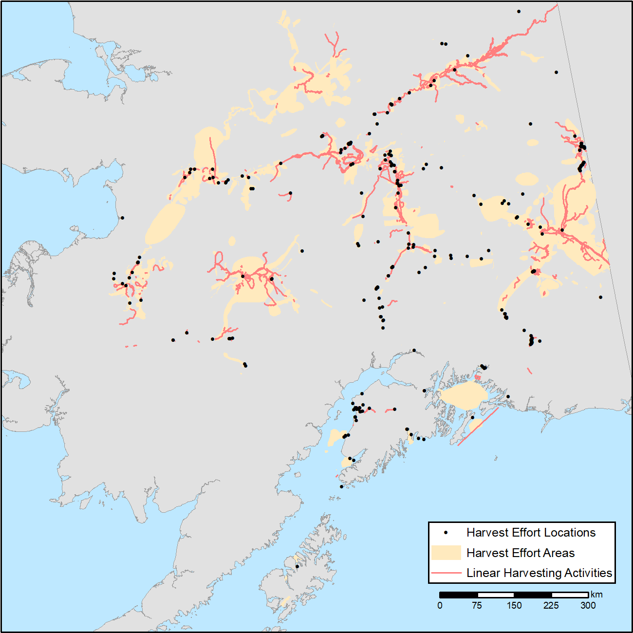
Combined map of subsistence resource use areas of Interior Alaskan communities (1) points marking harvest effort locations, (2) polygons indicating harvest effort areas, and (3) lines indicating linear harvesting activity.
Source: ABoVE: Subsistence Resource Use Areas of Interior Alaskan Communities, 2011-2017
About this Resource
| Last updated | unknown |
|---|---|
| Created | unknown |
| Name | Get a related visualization |
| Format | PNG Image File |
| License | License not specified |
| Created | 2 years ago |
| Media type | image/png |
| has views | True |
| id | 79ec097d-0724-48a4-8064-fab616dd32f6 |
| metadata modified | 2 years ago |
| package id | 8878c3de-8855-4966-950a-9b4ad7fbdd10 |
| position | 8 |
| state | active |