

4 datasets found
-
Federal
SAFARI 2000 C-130 Aerosol and Meteorological Data, Dry Season 2000
National Aeronautics and Space Administration —
The Met Office C-130 research aircraft was based at Windhoek, Namibia, between September 5-16, 2000, where it conducted a series of flights over Namibia as part of... -
Federal
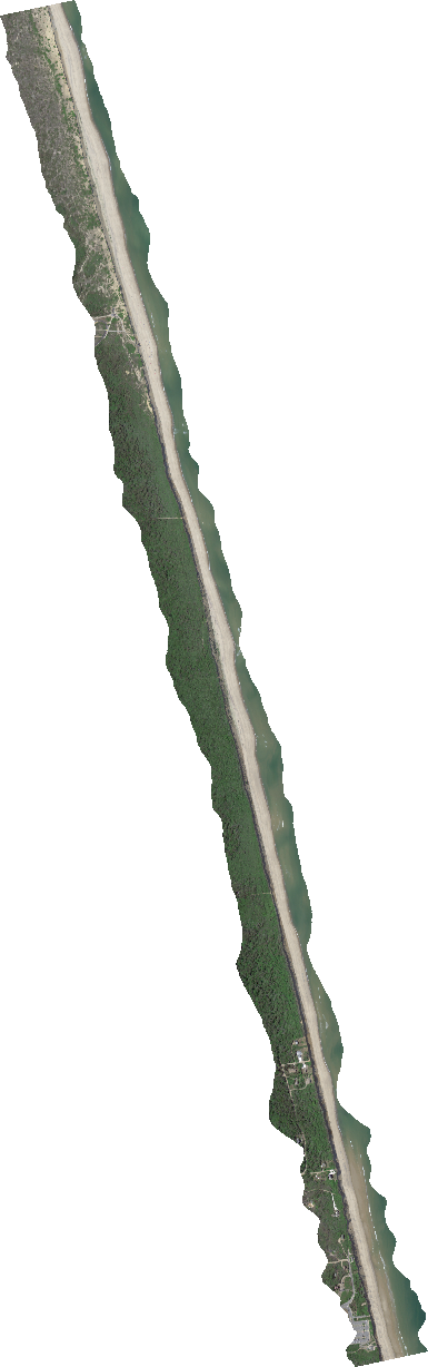
G-LiHT Hyperspectral Vegetative Indices V001
National Aeronautics and Space Administration —
Goddard’s LiDAR, Hyperspectral, and Thermal Imager (G-LiHT) mission is a portable, airborne imaging system that aims to simultaneously map the composition, structure,... -
Federal
G-LiHT Metrics V001
National Aeronautics and Space Administration —
Goddard’s LiDAR, Hyperspectral, and Thermal Imager (G-LiHT) mission is a portable, airborne imaging system that aims to simultaneously map the composition, structure,... -
Federal
G-LiHT Hyperspectral Radiance V001
National Aeronautics and Space Administration —
Goddard’s LiDAR, Hyperspectral, and Thermal Imager (G-LiHT) mission is a portable, airborne imaging system that aims to simultaneously map the composition, structure,...
4 datasets found