

9 datasets found
-
Federal
Tularosa Basin Play Fairway Analysis: White Sands Missile Range Main Cantonment and NASA Area Faults, New Mexico
Department of Energy —
This is a zipped ArcGIS shapefile containing faults mapped for the Tularosa Basin geothermal play fairway analysis project. The faults were interpolated from gravity... -
Federal
Geothermal Geodatabase for Rico Hot Springs Area and Lemon Hot Springs, Dolores and San Miguel Counties, Colorado
Department of Energy —
This geodatabase was built to cover several geothermal targets developed by Flint Geothermal in 2012 during a search for high-temperature systems that could be... -
Federal
Utah FORGE: Geologic, Topographic, and Other Related Maps and GIS Data from the Earth Model
Department of Energy —
This submission contains a number of maps and shapefiles related to the Utah FORGE site. Examples include geologic maps (several variations) and GIS data for the Utah... -
Federal
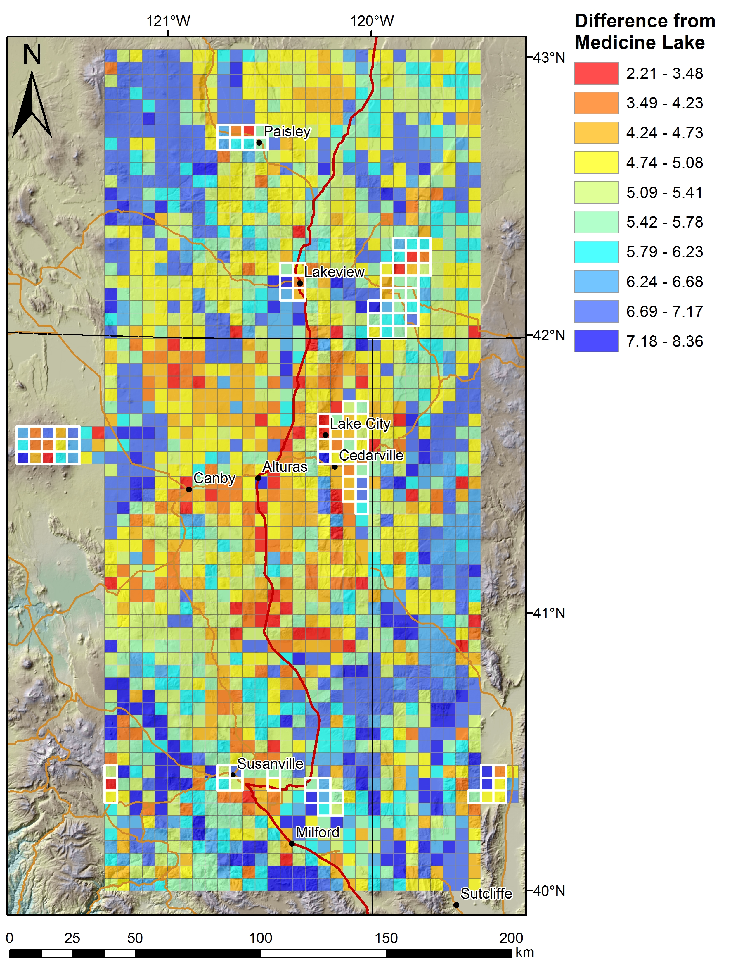
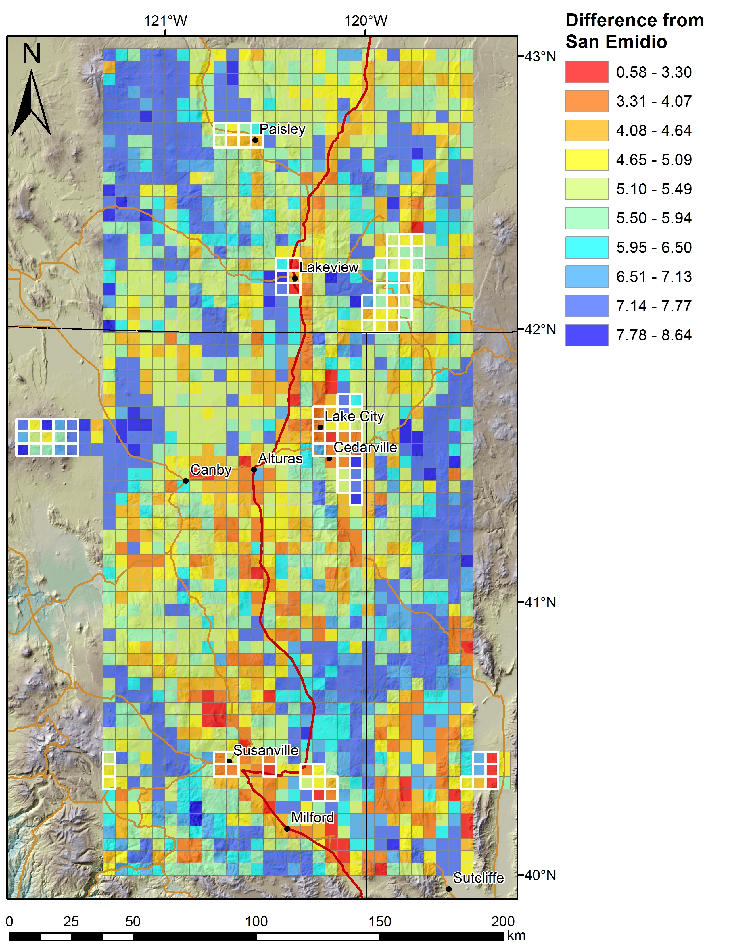
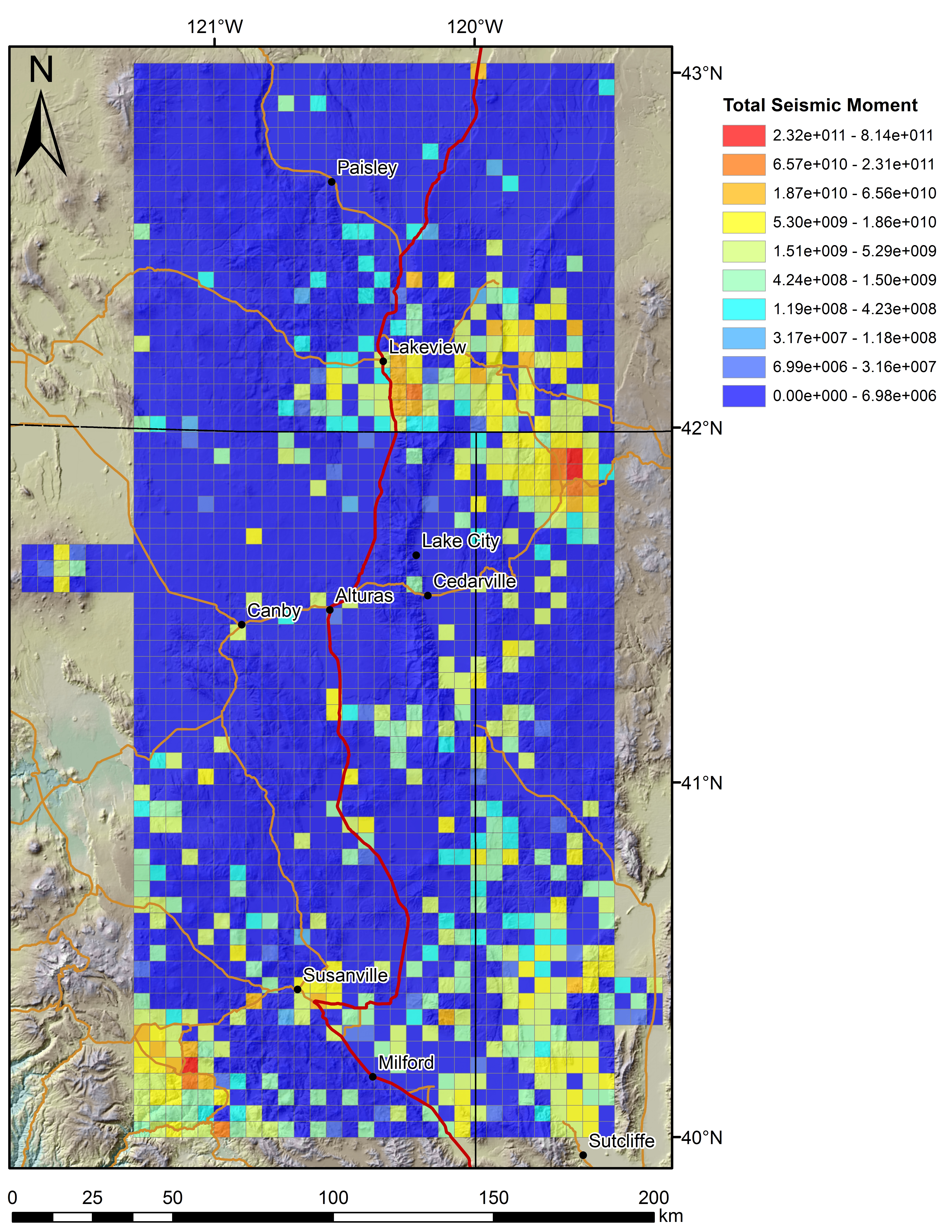
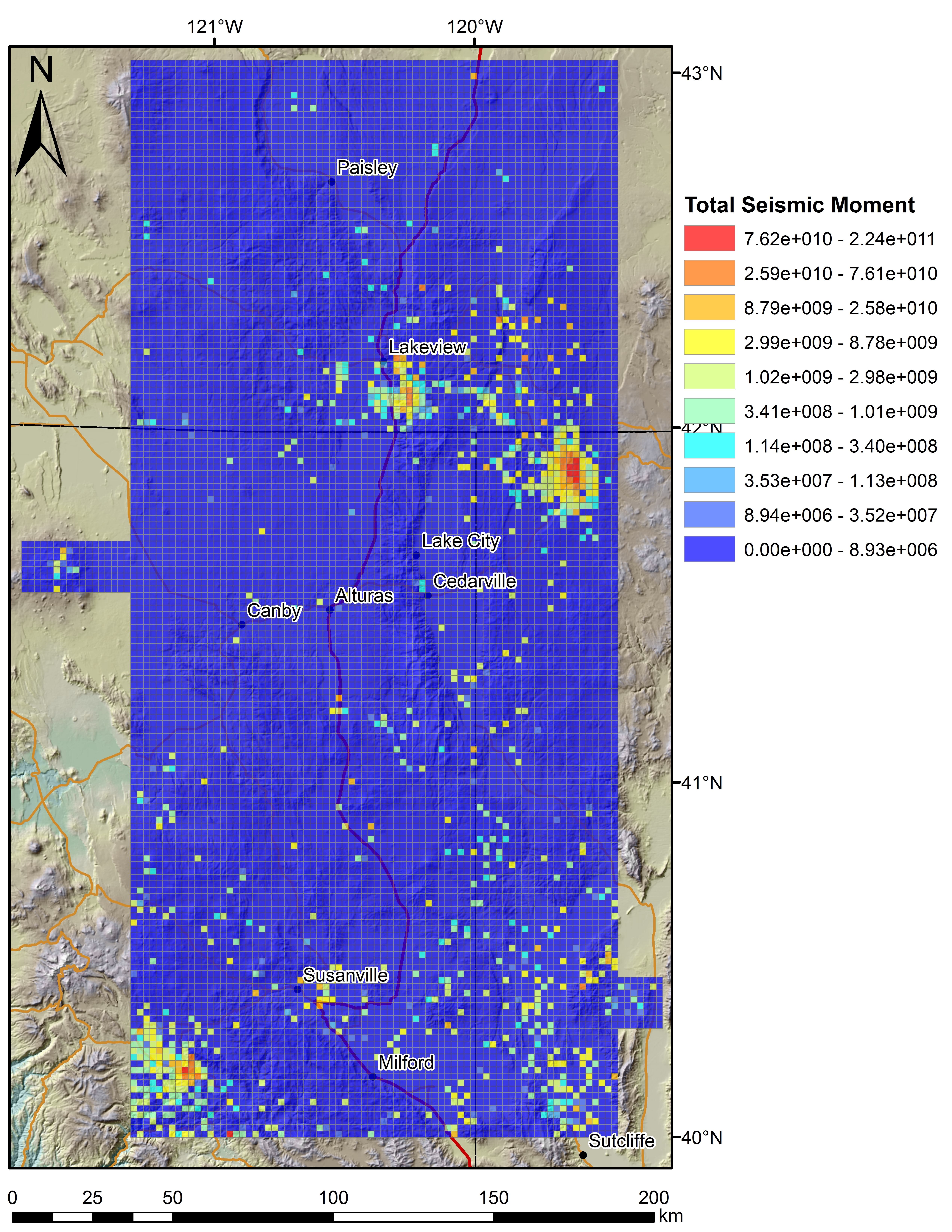
Play Fairway Analysis CA-NV-OR: Figures on 2km Grids
Department of Energy —
Various data sets displayed on a 2km grid for the Play Fairway Analysis CA-NV-OR area. -
Federal
Oregon Cascades Play Fairway Analysis: Faults and Heat Flow Maps
Department of Energy —
This submission includes a fault map of the Oregon Cascades and backarc, a probability map of heat flow, and a fault density probability layer. More extensive... -
Federal
Utah FORGE: Faults, Fractures, and Lineaments in the Mineral Mountains
Department of Energy —
This submission includes a shapefile of the Opal Mound Fault, and multiple datasets of lineaments mapped in the Mineral Mountains which overlook the Utah FORGE site,... -
Federal
Hawaii Play Fairway Analysis: Mapped Faults
Department of Energy —
Faults combined from USGS 2007 Geologic Map of the State of Hawaii and the USGS Quaternary Fault and Fold database. This data is in shapefile format.
9 datasets found