
-
Federal
CLPX-Model: Land Data Assimilation System (LDAS) Data, Version 1
National Aeronautics and Space Administration —
The LDAS data set contains 43 model and observation-based fields produced by the LDAS uncoupled modeling system at the NASA Goddard Space Flight Center using the... -
Federal
Sea Ice in the Belcher Islands, Nunavut, Canada, Version 1
National Aeronautics and Space Administration —
This data set contains interviews of three hunters from Sanikiliaq, Belcher Islands, in the territory of Nunavut, Canada. The hunters describe their observations of... -
Federal
CLPX-Model: Rapid Update Cycle 40km (RUC-40) Model Output Reduced Data, Version 1
National Aeronautics and Space Administration —
The Rapid Update Cycle, version 2 at 40km (RUC-2, known to the Cold Land Processes community as RUC40) model is a Mesoscale Analysis and Prediction System (MAPS) data... -
Federal
Upper soil temperatures in the Kolyma Highland, Version 1
National Aeronautics and Space Administration —
This data set contains soil temperature and meteorological data for various sampling locations near the Aborigen research station in the Kolyma Highland, Northeastern... -
Federal
ABoVE: Rain-on-Snow Frequency and Distribution during Cold Seasons, Alaska, 2003-2016 NGDA
National Aeronautics and Space Administration —
This dataset provides maps of rain-on-snow (ROS) events across Alaska for the individual months of November to March 2002-2011 and November to March 2012-2016, and... -
Federal
MERRA-2 tavgM_2d_int_Nx: 2d,Monthly mean,Time-Averaged,Single-Level,Assimilation,Vertically Integrated Diagnostics 0.625 x 0.5 degree V5.12.4 (M2TMNXINT) at GES DISC
National Aeronautics and Space Administration —
M2TMNXINT (or tavgM_2d_int_Nx) is a time-averaged 2-dimensional monthly mean data collection in Modern-Era Retrospective analysis for Research and Applications... -
Federal
Snow Data Assimilation System (SNODAS) Data Products at NSIDC, Version 1
National Aeronautics and Space Administration —
This data set contains snow pack properties, such as depth and snow water equivalent (SWE), from the NOAA National Weather Service's National Operational Hydrologic... -
Federal
Summary Report of Community-Based Environmental and Species Observations from the Bering Sea Sub-Network, 2008-2009, Version 1
National Aeronautics and Space Administration —
The Bering Sea Sub-Network (BSSN) is comprised of a set of coastal communities representing six indigenous cultures: three in the Russian Federation and three in the... -
Federal
CLPX NOAA FSL Rapid Update Cycle 20 km (RUC-20) Dataset, Version 1
National Aeronautics and Space Administration —
The Rapid Update Cycle analysis/model system at a 20-km horizontal resolution (RUC20) provides short-range numerical weather guidance for general forecasting, as well... -
Federal
Snowfall and Snow Depth for Canada 1943-1982, Version 1
National Aeronautics and Space Administration —
Data include monthly snowfall and end-of-month snow depth for 140 stations across Canada. Stations that maintained at least 20 years of data were chosen. The original... -
Federal
CLPX-Model: Local Analysis and Prediction System: 4-D Atmospheric Analyses, Version 1
National Aeronautics and Space Administration —
The Local Analysis and Prediction System (LAPS), run by the NOAA's Forecast Systems Laboratory (FSL), combines numerous observed meteorological data sets into a... -
Federal
MERRA-2 tavgU_2d_int_Nx: 2d,diurnal,Time-Averaged,Single-Level,Assimilation,Vertically Integrated Diagnostics 0.625 x 0.5 degree V5.12.4 (M2TUNXINT) at GES DISC
National Aeronautics and Space Administration —
M2TUNXINT (or tavgU_2d_int_Nx) is a time-averaged 2-dimensional monthly diurnal means data collection in Modern-Era Retrospective analysis for Research and... -
Federal
MERRA-2 tavg1_2d_int_Nx: 2d,1-Hourly,Time-Averaged,Single-Level,Assimilation,Vertically Integrated Diagnostics 0.625 x 0.5 degree V5.12.4 (M2T1NXINT) at GES DISC
National Aeronautics and Space Administration —
M2T1NXINT (or tavg1_2d_int_Nx) is an hourly time-averaged 2-dimensional data collection in Modern-Era Retrospective analysis for Research and Applications version 2... -
Federal
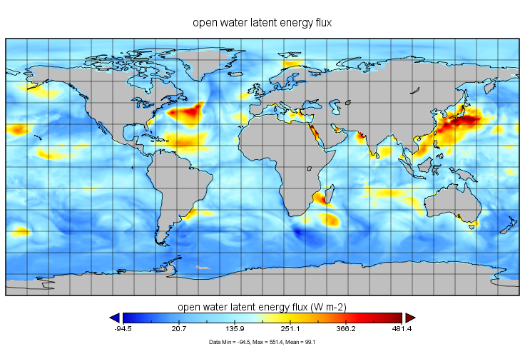
MERRA-2 tavg1_2d_ocn_Nx: 2d,1-Hourly,Time-Averaged,Single-Level,Assimilation,Ocean Surface Diagnostics 0.625 x 0.5 degree V5.12.4 (M2T1NXOCN) at GES DISC
National Aeronautics and Space Administration —
M2T1NXOCN (or tavg1_2d_ocn_Nx) is an hourly time-averaged 2-dimensional data collection in Modern-Era Retrospective analysis for Research and Applications version 2... -
Federal
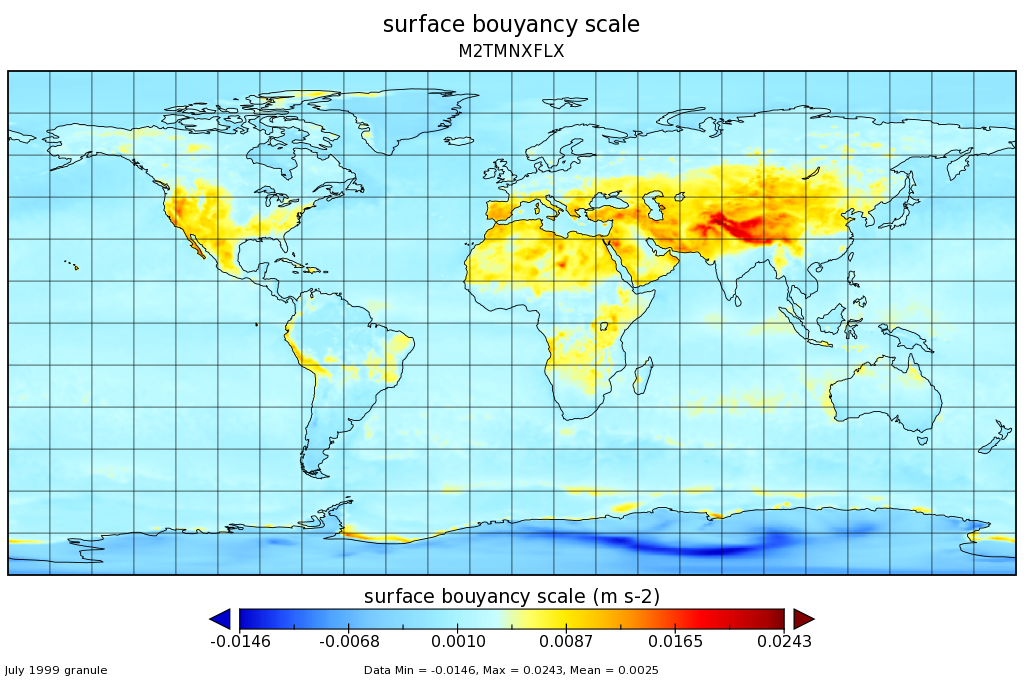
MERRA-2 tavgM_2d_flx_Nx: 2d,Monthly mean,Time-Averaged,Single-Level,Assimilation,Surface Flux Diagnostics 0.625 x 0.5 degree V5.12.4 (M2TMNXFLX) at GES DISC
National Aeronautics and Space Administration —
M2TMNXFLX (or tavgM_2d_flx_Nx) is a time-averaged 2-dimensional monthly mean data collection in Modern-Era Retrospective analysis for Research and Applications... -
Federal
MERRA-2 tavgU_2d_ocn_Nx: 2d,diurnal,Time-Averaged,Single-Level,Assimilation,Ocean Surface Diagnostics 0.625 x 0.5 degree V5.12.4 (M2TUNXOCN) at GES DISC
National Aeronautics and Space Administration —
M2TUNXOCN (or tavgU_2d_ocn_Nx) is a time-averaged 2-dimensional monthly diurnal means data collection in Modern-Era Retrospective analysis for Research and... -
Federal
NCA-LDAS Noah-3.3 Land Surface Model L4 Daily 0.125 x 0.125 degree V2.0 (NCALDAS_NOAH0125_D) at GES DISC
National Aeronautics and Space Administration —
The National Climate Assessment - Land Data Assimilation System, or NCA-LDAS, is a terrestrial water reanalysis in support of the United States Global Change Research... -
Federal
MERRA-2 tavg1_2d_flx_Nx: 2d,1-Hourly,Time-Averaged,Single-Level,Assimilation,Surface Flux Diagnostics 0.625 x 0.5 degree V5.12.4 (M2T1NXFLX) at GES DISC
National Aeronautics and Space Administration —
M2T1NXFLX (or tavg1_2d_flx_Nx) is an hourly time-averaged 2-dimensional data collection in Modern-Era Retrospective analysis for Research and Applications version 2... -
Federal
CLPX-Ground: Ground-based L and Ku band polarimetric scatterometry, Version 1
National Aeronautics and Space Administration —
This data set includes ground-based radar observations carried out at the Fraser Experimental Forest Headquarters, Colorado, USA.

Official websites use .gov
A
.gov website belongs to an official government
organization in the United States.
Secure .gov websites use HTTPS
A
lock (
) or https:// means you’ve safely connected to
the .gov website. Share sensitive information only on official,
secure websites.