

369 datasets found
-
Federal
BLM Natl AIM Riparian and Wetland Indicators Hub 12 recent views
Department of the Interior —
This feature class includes monitoring data collected nationally to understand the status, condition, and trend of resources on BLM lands. Data are collected in... -
Federal
TIGER/Line Shapefile, 2018, state, Alaska, Current Alaska Native Regional Corporation (ANRC) State-based 11 recent views
U.S. Census Bureau, Department of Commerce —
The TIGER/Line shapefiles and related database files (.dbf) are an extract of selected geographic and cartographic information from the U.S. Census Bureau's Master... -
Federal
2020 Cartographic Boundary File (KML), Current State Legislative District-Lower Chamber for Alaska, 1:500,000
U.S. Census Bureau, Department of Commerce —
The 2020 cartographic boundary KMLs are simplified representations of selected geographic areas from the U.S. Census Bureau's Master Address File / Topologically... -
Federal
2020 Cartographic Boundary File (KML), 2020 Census Voting District (VTD) for Alaska, 1:500,000
U.S. Census Bureau, Department of Commerce —
The 2020 cartographic boundary KMLs are simplified representations of selected geographic areas from the U.S. Census Bureau's Master Address File / Topologically... -
Federal
l680bs.m77t - MGD77 data file for Geophysical data from field activity L-6-80-BS in North Bering Sea, Alaska from 07/08/1980 to 07/28/1980
Department of the Interior —
Single-beam bathymetry, gravity, and magnetic data along with DGPS navigation data was collected as part of field activity L-6-80-BS in North Bering Sea, Alaska from... -
Federal
LANDFIRE 2016 Remap Fuel Vegetation Type (FVT) AK 2020 Capable Fuels
Department of the Interior —
The LANDFIRE (LF) 2016 Remap Fuel Vegetation Type (FVT) represents a modified pre-disturbance version of Existing Vegetation Type (EVT). FVT leverages fuel transition... -
Federal
TIGER/Line Shapefile, 2021, State, Alaska, 2010 Public Use Microdata Areas (PUMA)
U.S. Census Bureau, Department of Commerce —
The TIGER/Line shapefiles and related database files (.dbf) are an extract of selected geographic and cartographic information from the U.S. Census Bureau's Master... -
Federal
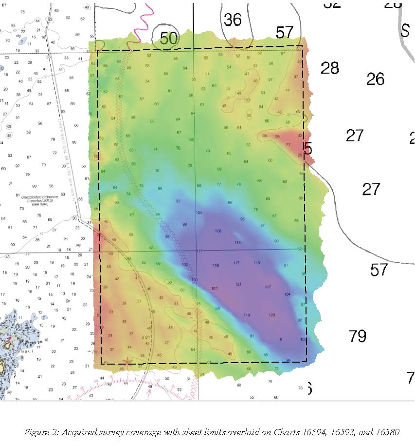
H13002: NOS Hydrographic Survey , 2017-06-12
National Oceanic and Atmospheric Administration, Department of Commerce —
The National Oceanic and Atmospheric Administration (NOAA) has the statutory mandate to collect hydrographic data in support of nautical chart compilation for safe... -
Federal
2022 Cartographic Boundary File (KML), Current Unified School District for Alaska, 1:500,000
U.S. Census Bureau, Department of Commerce —
The 2022 cartographic boundary KMLs are simplified representations of selected geographic areas from the U.S. Census Bureau's Master Address File / Topologically... -
Federal
2022 Cartographic Boundary File (SHP), Current Place for Alaska, 1:500,000
U.S. Census Bureau, Department of Commerce —
The 2022 cartographic boundary shapefiles are simplified representations of selected geographic areas from the U.S. Census Bureau's Master Address File /... -
Federal
2020 Cartographic Boundary File (KML), Current Block Group for Alaska, 1:500,000
U.S. Census Bureau, Department of Commerce —
The 2020 cartographic boundary KMLs are simplified representations of selected geographic areas from the U.S. Census Bureau's Master Address File / Topologically... -
Federal
l1082bs.m77t - MGD77 data file for Geophysical data from field activity L-10-82-BS in Bering Sea, Alaska from 08/06/1982 to 08/24/1982
Department of the Interior —
Single-beam bathymetry, gravity, and magnetic data along with DGPS navigation data was collected as part of field activity L-10-82-BS in Bering Sea, Alaska from... -
Federal
k382ar.m77t - MGD77 data file for Geophysical data from field activity K-3-82-AR in Arctic from 08/25/1982 to 09/08/1982
Department of the Interior —
Single-beam bathymetry data along with DGPS navigation data was collected as part of field activity K-3-82-AR in Arctic from 08/25/1982 to 09/08/1982,... -
Federal
k178ar.m77t - MGD77 data file for Geophysical data from field activity K-1-78-AR in Barrows to Pt. Barrows, Arctic from 08/18/1978 to 09/18/1978
Department of the Interior —
Single-beam bathymetry data along with DGPS navigation data was collected as part of field activity K-1-78-AR in Barrows to Pt. Barrows, Arctic from 08/18/1978 to... -
Federal
l1282wg.m77t - MGD77 data file for Geophysical data from field activity L-12-82-WG in Western Gulf of Alaska from 09/22/1982 to 10/05/1982
Department of the Interior —
Single-beam bathymetry, gravity, and magnetic data along with DGPS navigation data was collected as part of field activity L-12-82-WG in Western Gulf of Alaska from... -
Federal
LANDFIRE 2016 Remap Fuel Disturbance (FDist) AK 2020 Capable Fuels
Department of the Interior —
LANDFIRE (LF) disturbance products are developed to provide temporal and spatial information related to landscape change. LF 2016 Remap (LF Remap) Fuel Disturbance... -
Federal
k181ar.m77t - MGD77 data file for Geophysical data from field activity K-1-81-AR in Arctic from 07/15/1981 to 08/02/1981
Department of the Interior —
Single-beam bathymetry data along with DGPS navigation data was collected as part of field activity K-1-81-AR in Arctic from 07/15/1981 to 08/02/1981,... -
Federal
l982bs.m77t - MGD77 data file for Geophysical data from field activity L-9-82-BS in Bering Sea, Alaska from 07/11/1982 to 08/03/1982
Department of the Interior —
Single-beam bathymetry, magnetics, and gravity data along with transit satellite navigation data was collected as part of field activity L-9-82-BS in Bering Sea,... -
Federal
LANDFIRE 2016 Remap Anderson Fire Behavior Fuel Model (FBFM13) AK 2020 Capable Fuels
Department of the Interior —
LANDFIRE’s (LF) 2016 Remap Anderson Fire Behavior Fuel Model 13 (FBFM13) product represents distinct distributions of fuel loadings found among surface fuel... -
Federal
k180ar.m77t - MGD77 data file for Geophysical data from field activity K-1-80-AR in Arctic from 07/18/1980 to 08/19/1980
Department of the Interior —
Single-beam bathymetry data along with DGPS navigation data was collected as part of field activity K-1-80-AR in Arctic from 07/18/1980 to 08/19/1980,...
369 datasets found