
-
Federal
BLM Natl AIM Riparian and Wetland Indicators Hub
Department of the Interior —
This feature class includes monitoring data collected nationally to understand the status, condition, and trend of resources on BLM lands. Data are collected in... -
Federal
Oil and Gas Resource Potential 2021
Department of the Interior —
MetadataThis national data layer shows the extent of the probable oil and/or gas geologic structures (plays) identified within the US Outer Continental Shelf located... -
Federal
BLM Natl Recreation Site Points
Department of the Interior —
This feature class represents the point features that show the physical locations of BLM National Recreation Sites. The general types of recreation point features... -
Federal
BLM Natl GTLF Public Nonmotorized Trails
Department of the Interior —
This feature class is the BLM Natl GTLF Public Nonmotorized Trails subset of the feature dataset containing the BLM Ground Transportation Linear Features. A linear... -
Federal
BLM Natl Areas of Critical Environmental Concern
Department of the Interior —
This polygon feature class contains BLM Designated Areas of Critical Environmental Concern (ACECs) polygons. These define areas within the public lands where special... -
Federal
BLM Natl NLCS Wilderness Areas Polygons
Department of the Interior —
Feature Class for the BLM Wilderness Areas and BLM Other Related Lands data covered by the National Landscape Conservation System (NLCS) Data Standard. In particular,... -
Federal
BLM Natl Grazing Allotment Polygons
Department of the Interior —
This polygon feature class represents the spatial extent and boundaries for BLM Grazing Allotments. This dataset is a subset of the official national dataset,... -
Federal
BLM Natl Wild Horse and Burro Herd Area Polygons
Department of the Interior —
Feature Class for BLM Wild Horse and Burro Herd Areas. Herd Areas were designated in 1971 as places where wild horses and/or burros were found during the initial... -
Federal
NOAA/WDS Paleoclimatology - Global Lake-Level Variations from 18,000 to 0 Years Ago: A Paleoclimatic Analysis
National Oceanic and Atmospheric Administration, Department of Commerce —
This archived Paleoclimatology Study is available from the NOAA National Centers for Environmental Information (NCEI), under the World Data Service (WDS) for... -
Federal
BLM Natl Accessible Recreation Points
Department of the Interior —
This feature class represents the point features that show the physical locations of BLM Accessible National Recreation Sites. The general types of recreation point... -
Federal
Outer Continental Shelf Oil and Natural Gas Wells - Alaska Region NAD 83 NGDA
Department of the Interior —
Surface Locations of Boreholes drilled for exploration or oil and gas production. Dataset is maintained by BOEM AK RE. All wells drilled before 1986 are mapped in... -
Federal
NOAA/WDS Paleoclimatology - D'Arrigo - Central Alaska Composite - PCGL - ITRDB AK111
National Oceanic and Atmospheric Administration, Department of Commerce —
This archived Paleoclimatology Study is available from the NOAA National Centers for Environmental Information (NCEI), under the World Data Service (WDS) for... -
Federal
BLM Natl Revision Development Land Use Plans
Department of the Interior —
A Land Use Planning Area is defined as the geographic area within which the BLM will make decisions during a planning effort. A planning area boundary includes all... -
Federal
NOAA/WDS Paleoclimatology - D'Arrigo - NW North Alaska Composite - PCGL - ITRDB AK113
National Oceanic and Atmospheric Administration, Department of Commerce —
This archived Paleoclimatology Study is available from the NOAA National Centers for Environmental Information (NCEI), under the World Data Service (WDS) for... -
Federal
BLM Natl NLCS Wilderness Study Areas Polygons
Department of the Interior —
Feature Class for the BLM Wilderness Study Areas and BLM Other Related Lands data covered by the National Landscape Conservation System (NLCS) Data Standard. In... -
Federal
BLM Natl AIM LMF Hub
Department of the Interior —
This dataset was created to monitor the status, condition and trend of national BLM resources in accordance with BLM policies. It focuses on the BLM terrestrial core... -
Federal
OCS Withdrawal Areas
Department of the Interior —
MetadataAreas that are permanently or temporarily withdrawn from oil/gas, renewable, critical mineral, sand leasing, or some combination of these by various... -
Federal
BLM Natl GTLF Public Nonmechanized Trails
Department of the Interior —
This feature class is the BLM Natl GTLF Public Nonmechanized Trails subset of the feature dataset containing the BLM Ground Transportation Linear Features. A linear... -
Federal
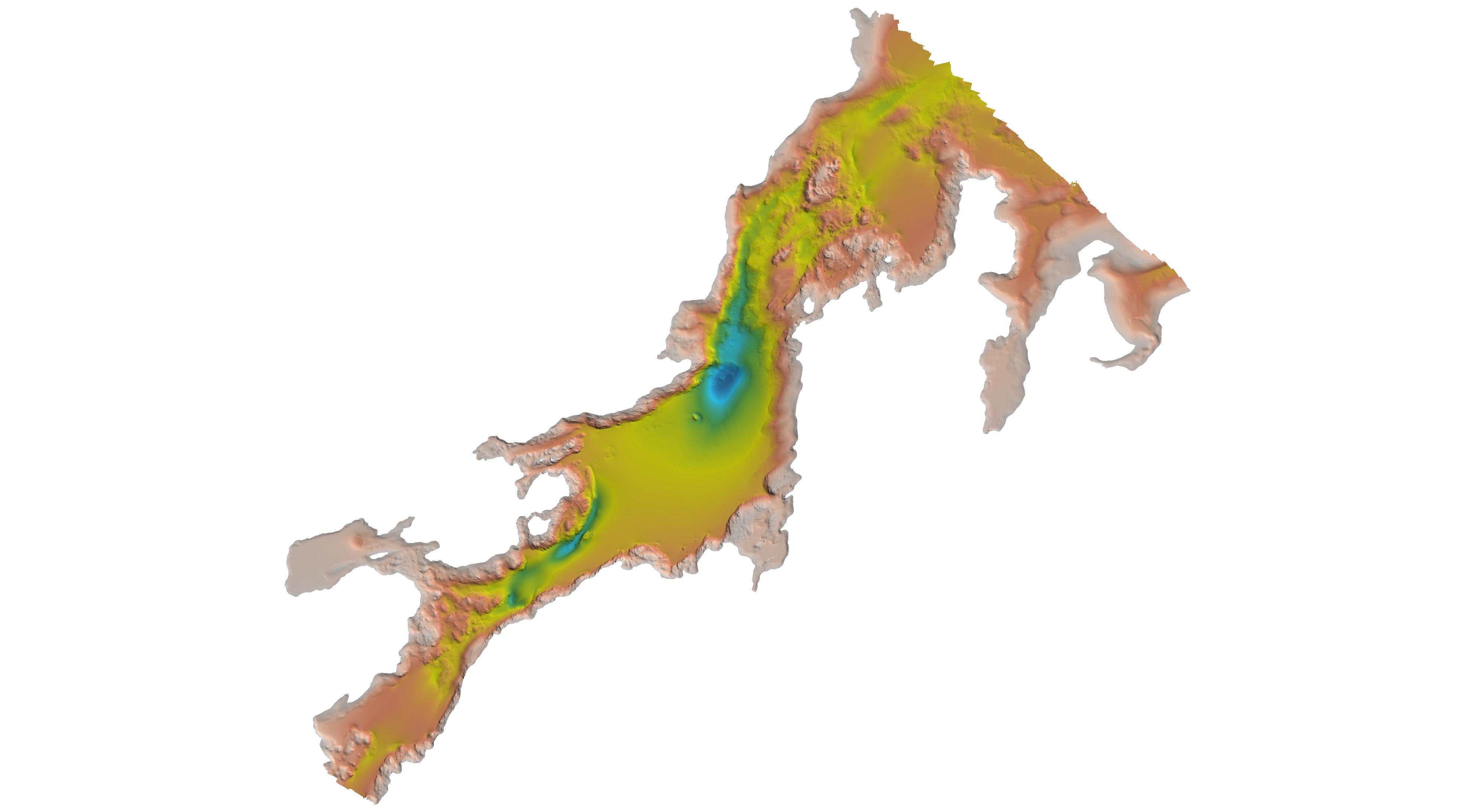
H11099: NOS Hydrographic Survey , Kasaan Bay, Alaska, 2002-08-16
National Oceanic and Atmospheric Administration, Department of Commerce —
The National Oceanic and Atmospheric Administration (NOAA) has the statutory mandate to collect hydrographic data in support of nautical chart compilation for safe... -
Federal
H09771: NOS Hydrographic Survey , Vicinity of Redoubt Point, 1978-08-18
National Oceanic and Atmospheric Administration, Department of Commerce —
The National Oceanic and Atmospheric Administration (NOAA) has the statutory mandate to collect hydrographic data in support of nautical chart compilation for safe...

Official websites use .gov
A
.gov website belongs to an official government
organization in the United States.
Secure .gov websites use HTTPS
A
lock (
) or https:// means you’ve safely connected to
the .gov website. Share sensitive information only on official,
secure websites.