
-
Federal
Sea level measured by tide gauges from global oceans as part of the Joint Archive for Sea Level (JASL) since 1846
National Oceanic and Atmospheric Administration, Department of Commerce —
This collection contains the complete holdings of the Joint Archive for Sea Level (JASL) for hourly and daily data that have been quality controlled, assessed, and... -
Federal
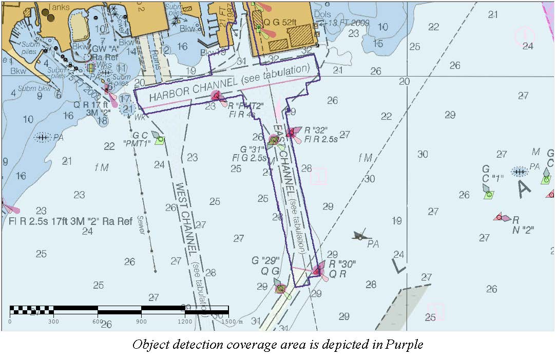
D00242: NOS Hydrographic Survey , 2017-10-09
National Oceanic and Atmospheric Administration, Department of Commerce —
The National Oceanic and Atmospheric Administration (NOAA) has the statutory mandate to collect hydrographic data in support of nautical chart compilation for safe... -
Federal
Hurricane Dennis Aerial Photography: High-Resolution Imagery of the Florida Panhandle and Surrounding Regions After Landfall
National Oceanic and Atmospheric Administration, Department of Commerce —
The imagery posted on this site is of the Florida panhandle and surrounding regions after Hurricane Dennis made landfall. The regions photographed range from... -
Federal
Shoreline Data Rescue Project of Pensacola, Florida, FL26C01 NGDA
National Oceanic and Atmospheric Administration, Department of Commerce —
These data were automated to provide an accurate high-resolution historical shoreline of Pensacola, Florida suitable as a geographic information system (GIS) data... -
Federal
F00818: NOS Hydrographic Survey , 2020-09-19
National Oceanic and Atmospheric Administration, Department of Commerce —
The National Oceanic and Atmospheric Administration (NOAA) has the statutory mandate to collect hydrographic data in support of nautical chart compilation for safe... -
Federal
Pensacola, Florida 1/3 arc-second NAVD 88 Coastal Digital Elevation Model
National Oceanic and Atmospheric Administration, Department of Commerce —
NOAA's National Centers for Environmental Information (NCEI) is building high-resolution digital elevation models (DEMs) for select U.S. coastal regions. These... -
Federal
Hurricane Dennis Aerial Photography: Draft Image Mosaics of the Florida Panhandle and Surrounding Regions After Landfall
National Oceanic and Atmospheric Administration, Department of Commerce —
The imagery posted on this site is of the Florida panhandle and surrounding regions after Hurricane Dennis made landfall. The regions photographed range from... -
Federal
Hurricane Ivan Aerial Photography: High-Resolution Imagery of the Florida Panhandle and Surrounding Regions After Landfall
National Oceanic and Atmospheric Administration, Department of Commerce —
The imagery posted on this site is of the Florida panhandle and surrounding regions after Hurricane Ivan made landfall. The regions photographed range from Gulf Port,... -
Federal
H06692: NOS Hydrographic Survey , 1941-12-31
National Oceanic and Atmospheric Administration, Department of Commerce —
The National Oceanic and Atmospheric Administration (NOAA) has the statutory mandate to collect hydrographic data in support of nautical chart compilation for safe... -
Federal
H06690: NOS Hydrographic Survey , 1941-12-31
National Oceanic and Atmospheric Administration, Department of Commerce —
The National Oceanic and Atmospheric Administration (NOAA) has the statutory mandate to collect hydrographic data in support of nautical chart compilation for safe... -
Federal
D00262: NOS Hydrographic Survey , 2018-10-13
National Oceanic and Atmospheric Administration, Department of Commerce —
The National Oceanic and Atmospheric Administration (NOAA) has the statutory mandate to collect hydrographic data in support of nautical chart compilation for safe...

Official websites use .gov
A
.gov website belongs to an official government
organization in the United States.
Secure .gov websites use HTTPS
A
lock (
) or https:// means you’ve safely connected to
the .gov website. Share sensitive information only on official,
secure websites.