

12 datasets found
-
Federal
Arctic Circumpolar Distribution and Soil Carbon of Thermokarst Landscapes, 2015
National Aeronautics and Space Administration —
This data set provides the distribution of thermokarst landscapes in the boreal and tundra ecoregions within the northern circumpolar permafrost zones. This dataset... -
Federal
Pre-ABoVE: Active Layer Thickness and Soil Water Content, Barrow, Alaska, 2013
National Aeronautics and Space Administration —
This data set provides estimates of Active Layer Thickness (ALT) determined with ground-based measurements, and calculated soil volumetric water content (VWC) at four... -
Federal
Soil Organic Carbon Stock Estimates with Uncertainty across Latin America
National Aeronautics and Space Administration —
This dataset provides 5 x 5 km gridded estimates of soil organic carbon (SOC) across Latin America that were derived from existing point soil characterization data... -
Federal
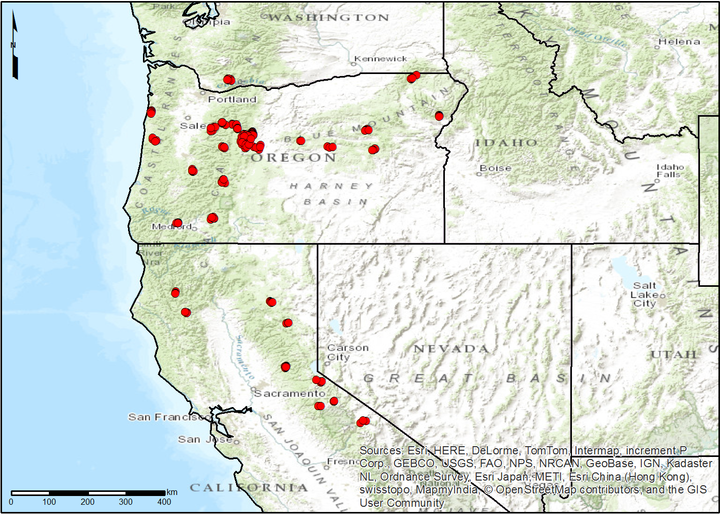
NACP TERRA-PNW: Forest Plant Traits, NPP, Biomass, and Soil Properties, 1999-2014
National Aeronautics and Space Administration —
This data set contains measurements and estimates of leaf, tree, and soil data from six projects conducted by the Terrestrial Ecosystem Research and Regional... -
Federal
Stocks of Surface Soil Organic Carbon Fractions, Great Plains Region, USA, 2007-2010
National Aeronautics and Space Administration —
This dataset provides estimates of total organic soil carbon (SOC), pyrogenic (PyC), particulate (POC), and other organic soil carbon (OOC) fractions in 473 surface... -
Federal
FLUXNET Research Network Site Characteristics, Investigators, and Bibliography, 2016
National Aeronautics and Space Administration —
FLUXNET is a global network of micrometeorological tower sites that use eddy covariance methods to measure the exchanges of carbon dioxide, water vapor, and energy... -
Federal
Geobotanical and Impact Map Collection for Prudhoe Bay Oilfield, Alaska, 1972-2010
National Aeronautics and Space Administration —
This data set provides a collection of maps of geoecological characteristics of areas within the Beechey Point quadrangle near Prudhoe Bay on the North slope of... -
Federal
ABoVE: Permafrost Measurements and Distribution Across the Y-K Delta, Alaska, 2016
National Aeronautics and Space Administration —
This dataset provides field observations of thaw depth and dominant vegetation types, a LiDAR-derived elevation map, and permafrost distribution and probability maps... -
Federal
NACP Soil Organic Matter of Burned Boreal Black Spruce Forests, Alaska, 2009-2011
National Aeronautics and Space Administration —
This data set provides organic soil layer characteristics, estimated carbon content, and soil depth measurements made at four black spruce stands in interior Alaska... -
Federal
Maps of Vegetation Types and Physiographic Features, Toolik Lake Area, Alaska
National Aeronautics and Space Administration —
This data set provides the spatial distributions of vegetation types, soil carbon, and physiographic features in the Toolik Lake area, Alaska. Specific attributes... -
Federal
ABoVE: Burn Severity, Fire Progression, Landcover and Field Data, NWT, Canada, 2014 NGDA
National Aeronautics and Space Administration —
This data set provides peatland landcover classification maps, fire progression maps, and vegetation community biophysical data collected from areas that were burned... -
Federal
ABoVE: Burn Severity, Fire Progression, and Field Data, NWT, Canada, 2015-2016 NGDA
National Aeronautics and Space Administration —
This data set provides a fire progression map for year 2015 and measures of burn severity and vegetation community biophysical data collected from areas that were...
12 datasets found