

10 datasets found
-
Federal
Seward, Alaska 1/3 arc-second MHW Coastal Digital Elevation Model
National Oceanic and Atmospheric Administration, Department of Commerce —
The 1/3-second Seward Alaska Elevation Grid provides bathymetric data of 1/3-second resolution in geographic coordinates. This grid is strictly for tsunami inundation... -
Federal
Seward, Alaska 3 arc-second MHW Coastal Digital Elevation Model
National Oceanic and Atmospheric Administration, Department of Commerce —
The 3 arc-second Seward Alaska Elevation Grid provides bathymetric data of 2.67-second resolution in geographic coordinates. This grid is strictly for tsunami... -
Federal
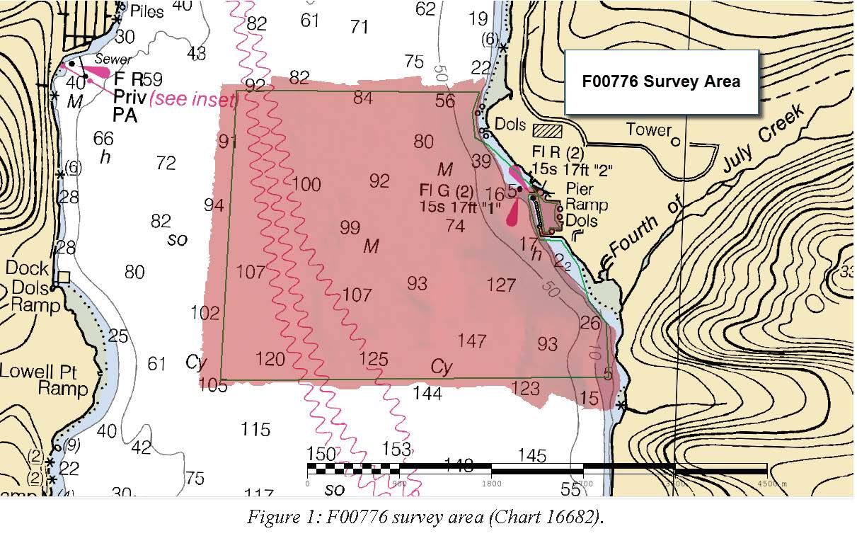
F00776: NOS Hydrographic Survey , 2019-06-05
National Oceanic and Atmospheric Administration, Department of Commerce —
The National Oceanic and Atmospheric Administration (NOAA) has the statutory mandate to collect hydrographic data in support of nautical chart compilation for safe... -
Federal
Seward, Alaska 8 arc-second MHW Coastal Digital Elevation Model
National Oceanic and Atmospheric Administration, Department of Commerce —
The 8-second Seward, Alaska Elevation Grid provides bathymetric data of 8-second resolution in geographic coordinates. This grid is strictly for tsunami inundation... -
Federal
Seward, Alaska Tsunami Forecast Grids for MOST Model
National Oceanic and Atmospheric Administration, Department of Commerce —
The Seward, Alaska Forecast Model Grids provides bathymetric data strictly for tsunami inundation modeling with the Method of Splitting Tsunami (MOST) model. MOST is... -
Federal
Shoreline Mapping Program of Resurrection Bay, AK, AK01B NGDA
National Oceanic and Atmospheric Administration, Department of Commerce —
These data were automated to provide an accurate high-resolution composite shoreline of Resurrection Bay, AK suitable as a geographic information system (GIS) data... -
Federal
H02761: NOS Hydrographic Survey
National Oceanic and Atmospheric Administration, Department of Commerce —
The National Oceanic and Atmospheric Administration (NOAA) has the statutory mandate to collect hydrographic data in support of nautical chart compilation for safe... -
Federal
Seward, Alaska 1 arc-second MHW Coastal Digital Elevation Model
National Oceanic and Atmospheric Administration, Department of Commerce —
The 1 arc-second Seward Alaska Elevation Grid provides bathymetric data of .89-second resolution in geographic coordinates. This grid is strictly for tsunami... -
Federal
F00683: NOS Hydrographic Survey , 2016-08-26
National Oceanic and Atmospheric Administration, Department of Commerce —
The National Oceanic and Atmospheric Administration (NOAA) has the statutory mandate to collect hydrographic data in support of nautical chart compilation for safe... -
Federal
H02853: NOS Hydrographic Survey
National Oceanic and Atmospheric Administration, Department of Commerce —
The National Oceanic and Atmospheric Administration (NOAA) has the statutory mandate to collect hydrographic data in support of nautical chart compilation for safe...
10 datasets found