
-
Federal
Neighborhoods, US, 2017, Zillow, SEGS
U.S. Environmental Protection Agency —
This web service depicts nearly 17,000 neighborhood boundaries in over 650 U.S. cities. Zillow created the neighborhood boundaries and is sharing them with the public... -
Federal
US EPA Nonattainment Areas and Designations
U.S. Environmental Protection Agency —
This web service contains the following state level layers:Ozone 8-hr (1997 standard), Ozone 8-hr (2008 standard), Lead (2008 standard), SO2 1-hr (2010 standard),... -
Federal
Chesapeake Bay (M130) Bathymetric Digital Elevation Model - NOAA/NOS Estuarine Bathymetry
National Oceanic and Atmospheric Administration, Department of Commerce —
A 1/3 arc-second Mean Lower Low Water bathymetric DEM of NOS hydrographic survey data in the Chesapeake Bay Estuary. -
Federal
US EPA Nonattainment Areas and Designations-8 Hour Ozone (2008 NAAQS)
U.S. Environmental Protection Agency —
This web service contains the following layers: Ozone 2008 NAAQS NAA State Level and Ozone 2008 NAAQS NAA National Level. Full FGDC metadata records for each layer... -
Federal
US EPA Nonattainment Areas and Designations-PM10 (1987 NAAQS)
U.S. Environmental Protection Agency —
This web service contains the following layer: PM10 Nonattainment Areas (1987 NAAQS). Full FGDC metadata records for each layer may be found by clicking the layer... -
Federal
H12321: NOS Hydrographic Survey , Central Chesapeake Bay, MD, 2011-05-18
National Oceanic and Atmospheric Administration, Department of Commerce —
The National Oceanic and Atmospheric Administration (NOAA) has the statutory mandate to collect hydrographic data in support of nautical chart compilation for safe... -
Federal
Discrete bottle samples of dissolved inorganic carbon (DIC), total Alkalinity (TA), pH on total scale and salinity, made at two locations near Chesapeake Biological Laboratory from 2021-06-23 to 2021-07-06 (NCEI Accession 0303110)
National Oceanic and Atmospheric Administration, Department of Commerce —
This dataset contains the discrete bottle data collected at two locations in the vicinity of an oyster aquaculture facility at the Chesapeake Biological Laboratory in... -
Federal
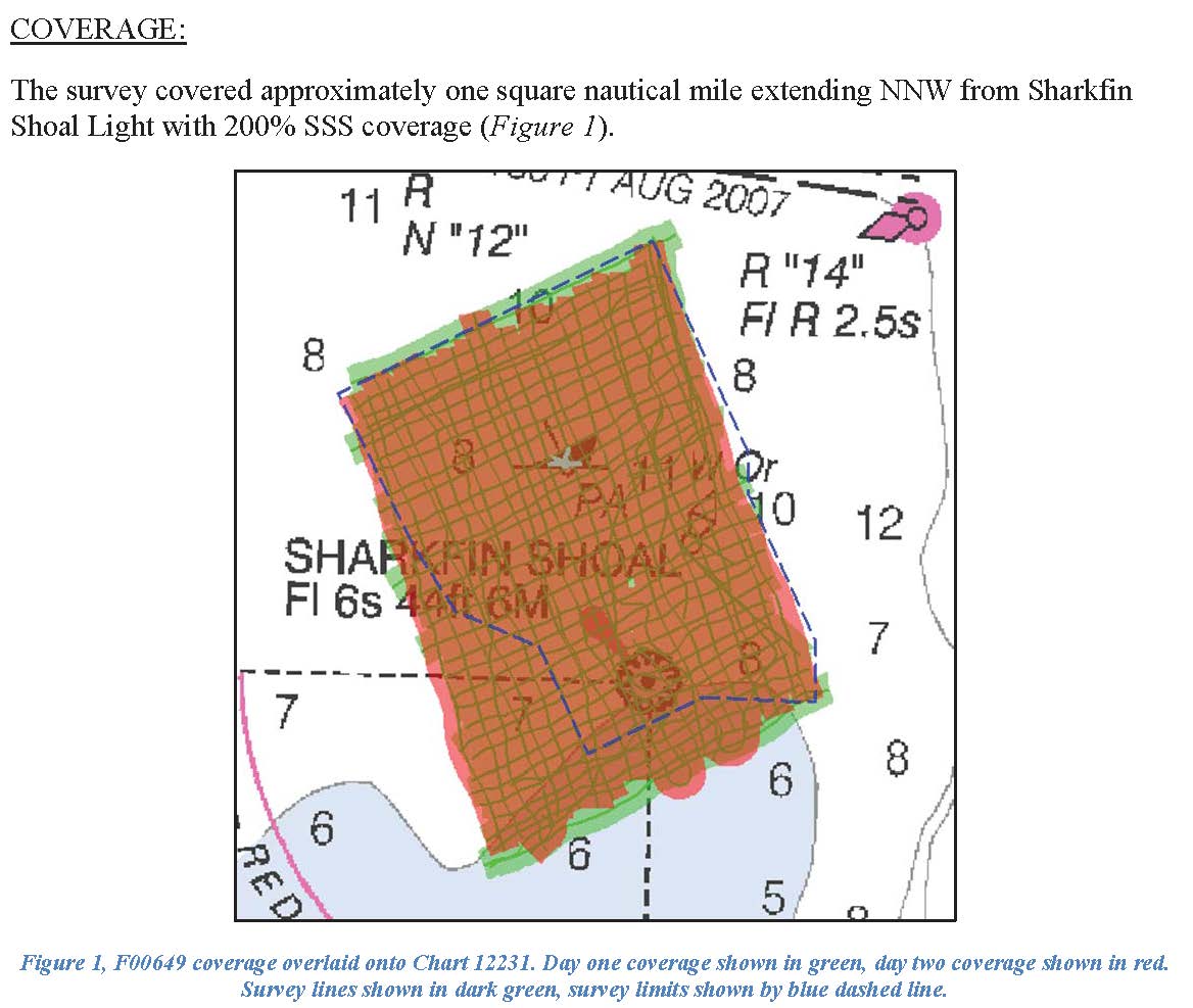
F00649: NOS Hydrographic Survey , 2014-10-17
National Oceanic and Atmospheric Administration, Department of Commerce —
The National Oceanic and Atmospheric Administration (NOAA) has the statutory mandate to collect hydrographic data in support of nautical chart compilation for safe... -
Federal
F00715: NOS Hydrographic Survey , 2018-08-08
National Oceanic and Atmospheric Administration, Department of Commerce —
The National Oceanic and Atmospheric Administration (NOAA) has the statutory mandate to collect hydrographic data in support of nautical chart compilation for safe... -
Federal
H12267: NOS Hydrographic Survey , Central Chesapeake Bay, Maryland, 2011-03-28
National Oceanic and Atmospheric Administration, Department of Commerce —
The National Oceanic and Atmospheric Administration (NOAA) has the statutory mandate to collect hydrographic data in support of nautical chart compilation for safe... -
Federal
F00080: NOS Hydrographic Survey , 1949-05-20
National Oceanic and Atmospheric Administration, Department of Commerce —
The National Oceanic and Atmospheric Administration (NOAA) has the statutory mandate to collect hydrographic data in support of nautical chart compilation for safe... -
Federal
H06957A: NOS Hydrographic Survey , 1944-03-30
National Oceanic and Atmospheric Administration, Department of Commerce —
The National Oceanic and Atmospheric Administration (NOAA) has the statutory mandate to collect hydrographic data in support of nautical chart compilation for safe... -
Federal
F00078: NOS Hydrographic Survey , 1948-08-11
National Oceanic and Atmospheric Administration, Department of Commerce —
The National Oceanic and Atmospheric Administration (NOAA) has the statutory mandate to collect hydrographic data in support of nautical chart compilation for safe... -
Federal
Virginia Beach, Virginia 1/3 Arc-second MHW Coastal Digital Elevation Model
National Oceanic and Atmospheric Administration, Department of Commerce —
NOAA's National Geophysical Data Center (NGDC) is building high-resolution digital elevation models (DEMs) for select U.S. coastal regions. These integrated... -
Federal
US EPA Nonattainment Areas and Designations-SO2 (2010 NAAQS)
U.S. Environmental Protection Agency —
This web service contains the following layer: SO2 2010 NAAQS State Level. Full FGDC metadata records for each layer may be found by clicking the layer name at the... -
Federal
H13546: NOS Hydrographic Survey , 2022-06-01
National Oceanic and Atmospheric Administration, Department of Commerce —
The National Oceanic and Atmospheric Administration (NOAA) has the statutory mandate to collect hydrographic data in support of nautical chart compilation for safe... -
Federal
H13686: NOS Hydrographic Survey , 2023-03-27
National Oceanic and Atmospheric Administration, Department of Commerce —
The National Oceanic and Atmospheric Administration (NOAA) has the statutory mandate to collect hydrographic data in support of nautical chart compilation for safe... -
Federal
F00412A: NOS Hydrographic Survey , Southern Chesapeake Bay Item Investigations, Virginia, 1995-05-24
National Oceanic and Atmospheric Administration, Department of Commerce —
The National Oceanic and Atmospheric Administration (NOAA) has the statutory mandate to collect hydrographic data in support of nautical chart compilation for safe... -
Federal
F00410: NOS Hydrographic Survey , Southern Chesapeake Bay Item Investigations, Virginia, 1995-05-23
National Oceanic and Atmospheric Administration, Department of Commerce —
The National Oceanic and Atmospheric Administration (NOAA) has the statutory mandate to collect hydrographic data in support of nautical chart compilation for safe... -
Federal
H12039: NOS Hydrographic Survey , Approaches to Cheasapeake Bay, Virginia, 2009-07-21
National Oceanic and Atmospheric Administration, Department of Commerce —
The National Oceanic and Atmospheric Administration (NOAA) has the statutory mandate to collect hydrographic data in support of nautical chart compilation for safe...

Official websites use .gov
A
.gov website belongs to an official government
organization in the United States.
Secure .gov websites use HTTPS
A
lock (
) or https:// means you’ve safely connected to
the .gov website. Share sensitive information only on official,
secure websites.
.jpg)
.jpg)
.jpg)