
-
Federal
Global Forest Ecosystem Structure and Function Data For Carbon Balance Research recent views
National Aeronautics and Space Administration —
A comprehensive global database has been assembled to quantify CO2 fluxes and pathways across different levels of integration (from photosynthesis up to net ecosystem... -
Federal
FLDAS Noah Land Surface Model L4 Global Monthly 0.1 x 0.1 degree (MERRA-2 and CHIRPS) V001 (FLDAS_NOAH01_C_GL_M) at GES DISC recent views
National Aeronautics and Space Administration —
This dataset contains a series of land surface parameters simulated from the Noah 3.6.1 model in the Famine Early Warning Systems Network (FEWS NET) Land Data... -
Federal
GLDAS Noah Land Surface Model L4 monthly 0.25 x 0.25 degree V2.1 (GLDAS_NOAH025_M) at GES DISC recent views
National Aeronautics and Space Administration —
NASA Global Land Data Assimilation System Version 2 (GLDAS-2) has three components: GLDAS-2.0, GLDAS-2.1, and GLDAS-2.2. GLDAS-2.0 is forced entirely with the... -
Federal
GLDAS Noah Land Surface Model L4 monthly 1.0 x 1.0 degree V2.1 (GLDAS_NOAH10_M) at GES DISC recent views
National Aeronautics and Space Administration —
NASA Global Land Data Assimilation System Version 2 (GLDAS-2) has three components: GLDAS-2.0, GLDAS-2.1, and GLDAS-2.2. GLDAS-2.0 is forced entirely with the... -
Federal
GLDAS Catchment Land Surface Model L4 daily 0.25 x 0.25 degree GRACE-DA1 V2.2 (GLDAS_CLSM025_DA1_D) at GES DISC recent views
National Aeronautics and Space Administration —
NASA Global Land Data Assimilation System Version 2 (GLDAS-2) has three components: GLDAS-2.0, GLDAS-2.1, and GLDAS-2.2. GLDAS-2.0 is forced entirely with the... -
Federal
MERRA-2 tavg1_2d_lnd_Nx: 2d,1-Hourly,Time-Averaged,Single-Level,Assimilation,Land Surface Diagnostics 0.625 x 0.5 degree V5.12.4 (M2T1NXLND) at GES DISC recent views
National Aeronautics and Space Administration —
M2T1NXLND (or tavg1_2d_lnd_Nx) is an hourly time-averaged 2-dimensional data collection in Modern-Era Retrospective analysis for Research and Applications version 2... -
Federal
GLDAS Noah Land Surface Model L4 3 hourly 0.25 x 0.25 degree V2.0 (GLDAS_NOAH025_3H) at GES DISC recent views
National Aeronautics and Space Administration —
NASA Global Land Data Assimilation System Version 2 (GLDAS-2) has three components: GLDAS-2.0, GLDAS-2.1, and GLDAS-2.2. GLDAS-2.0 is forced entirely with the... -
Federal
MERRA-2 tavg1_2d_flx_Nx: 2d,1-Hourly,Time-Averaged,Single-Level,Assimilation,Surface Flux Diagnostics 0.625 x 0.5 degree V5.12.4 (M2T1NXFLX) at GES DISC recent views
National Aeronautics and Space Administration —
M2T1NXFLX (or tavg1_2d_flx_Nx) is an hourly time-averaged 2-dimensional data collection in Modern-Era Retrospective analysis for Research and Applications version 2... -
Federal
Sounder SIPS: Suomi NPP CrIMSS Level 2 CLIMCAPS Normal Spectral Resolution: Atmosphere cloud and surface geophysical state V2 (SNDRSNIML2CCPRETN) at GES DISC recent views
National Aeronautics and Space Administration —
WARNING: To users of the derived product “co_mmr_midtrop” (carbon monoxide mass mixing ratio to dry air [kg/kg] at ~500 hPa). This variable has a significant bias due... -
Federal
GLDAS Noah Land Surface Model L4 3 hourly 0.25 x 0.25 degree V2.1 (GLDAS_NOAH025_3H) at GES DISC recent views
National Aeronautics and Space Administration —
NASA Global Land Data Assimilation System Version 2 (GLDAS-2) has three components: GLDAS-2.0, GLDAS-2.1, and GLDAS-2.2. GLDAS-2.0 is forced entirely with the... -
Federal
Daymet: Daily Surface Weather Data on a 1-km Grid for North America, Version 4 R1 recent views
National Aeronautics and Space Administration —
This dataset provides Daymet Version 4 R1 data as gridded estimates of daily weather parameters for North America, Hawaii, and Puerto Rico. Daymet variables include... -
Federal
GLDAS Noah Land Surface Model L4 monthly 1.0 x 1.0 degree V2.0 (GLDAS_NOAH10_M) at GES DISC recent views
National Aeronautics and Space Administration —
NASA Global Land Data Assimilation System Version 2 (GLDAS-2) has three components: GLDAS-2.0, GLDAS-2.1, and GLDAS-2.2. GLDAS-2.0 is forced entirely with the... -
Federal
NLDAS Mosaic Land Surface Model L4 Hourly 0.125 x 0.125 degree V002 (NLDAS_MOS0125_H) at GES DISC recent views
National Aeronautics and Space Administration —
This data set contains a series of land surface parameters simulated from the Mosaic land-surface model (LSM) for Phase 2 of the North American Land Data Assimilation... -
Federal
GLDAS Catchment Land Surface Model L4 daily 0.25 x 0.25 degree V2.0 (GLDAS_CLSM025_D) at GES DISC recent views
National Aeronautics and Space Administration —
NASA Global Land Data Assimilation System Version 2 (GLDAS-2) has three components: GLDAS-2.0, GLDAS-2.1, and GLDAS-2.2. GLDAS-2.0 is forced entirely with the... -
Federal
NLDAS VIC Land Surface Model L4 Monthly 0.125 x 0.125 degree V2.0 (NLDAS_VIC0125_M) at GES DISC recent views
National Aeronautics and Space Administration —
This data set contains forty-three fields simulated from the VIC land-surface model (LSM) for Phase 2 of the North American Land Data Assimilation System (NLDAS-2).... -
Federal
GLDAS CLM Land Surface Model L4 3 hourly 1.0 x 1.0 degree Subsetted V001 (GLDAS_CLM10SUBP_3H) at GES DISC recent views
National Aeronautics and Space Administration —
With the upgraded Land Surface Models (LSMs) and updated forcing data sets, the GLDAS version 2.1 (GLDAS-2.1) production stream serves as a replacement for GLDAS-001.... -
Federal
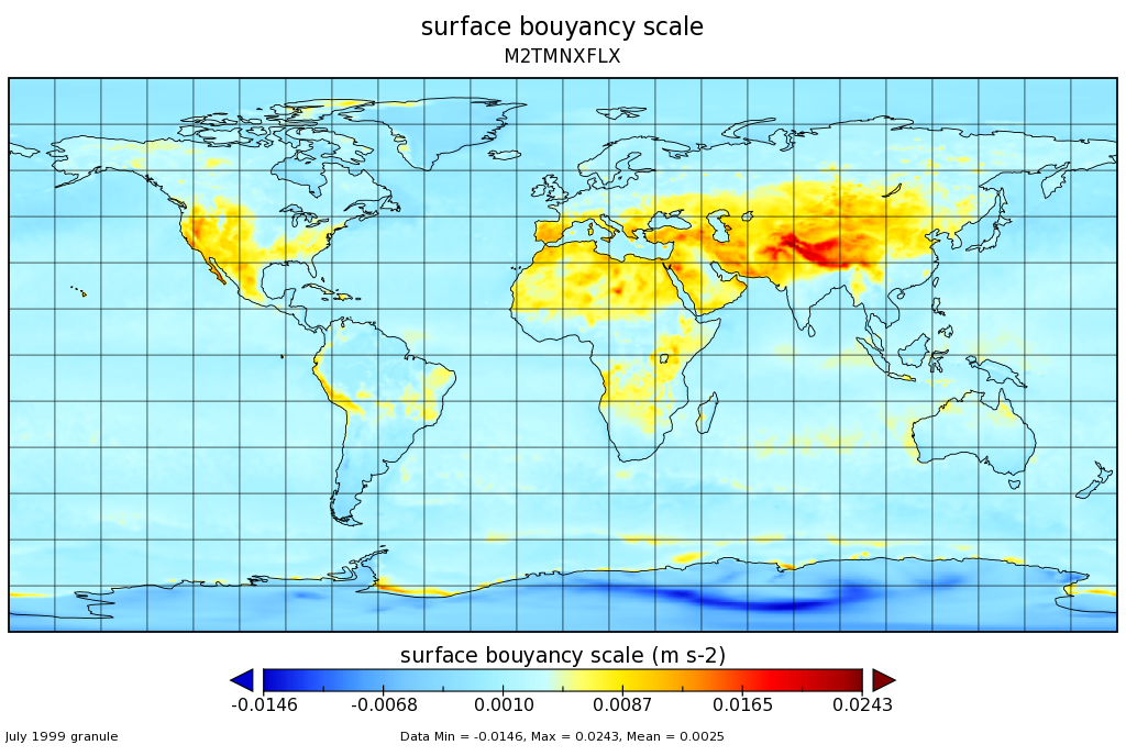
MERRA-2 tavgM_2d_flx_Nx: 2d,Monthly mean,Time-Averaged,Single-Level,Assimilation,Surface Flux Diagnostics 0.625 x 0.5 degree V5.12.4 (M2TMNXFLX) at GES DISC recent views
National Aeronautics and Space Administration —
M2TMNXFLX (or tavgM_2d_flx_Nx) is a time-averaged 2-dimensional monthly mean data collection in Modern-Era Retrospective analysis for Research and Applications... -
Federal
NLDAS Primary Forcing Data L4 Monthly 0.125 x 0.125 degree V2.0 (NLDAS_FORA0125_M) at GES DISC recent views
National Aeronautics and Space Administration —
This data product contains the monthly primary forcing data "File A" for Phase 2 of the North American Land Data Assimilation System (NLDAS-2). The data are in 1/8th... -
Federal
Sounder SIPS: AQUA AIRS IR-only Level 3 CLIMCAPS: Comprehensive Quality Control Gridded Monthly V2 (SNDRAQIL3CMCCP) at GES DISC recent views
National Aeronautics and Space Administration —
WARNING: To users of the derived product “co_mmr_midtrop” (carbon monoxide mass mixing ratio to dry air [kg/kg] at ~500 hPa). This variable has a significant bias due... -
Federal
GPM Ground Validation SEA FLUX ICE POP V1 recent views
National Aeronautics and Space Administration —
The GPM Ground Validation SEA FLUX ICE POP dataset includes estimates of ocean surface latent and sensible heat fluxes, 10m wind speed, 10m air temperature, 10m air...

Official websites use .gov
A
.gov website belongs to an official government
organization in the United States.
Secure .gov websites use HTTPS
A
lock (
) or https:// means you’ve safely connected to
the .gov website. Share sensitive information only on official,
secure websites.