

13 datasets found
-
Federal
UARS Improved Stratospheric and Mesospheric Sounder (ISAMS) Level 3AL V010 (UARIS3AL) at GES DISC
National Aeronautics and Space Administration —
The Improved Stratospheric and Mesospheric Sounder (ISAMS) Level 3AL data product consists of daily, 4 degree increment latitude-ordered vertical profiles of... -
Federal
UARS Halogen Occultation Experiment (HALOE) Level 2 V019 (UARHA2FN) at GES DISC
National Aeronautics and Space Administration —
The Halogen Occultation Experiment (HALOE) Level 2 data product consists of daily vertical profiles of temperature, aerosol extinciton and pressure, as well as... -
Federal
UARS High Resolution Doppler Imager (HRDI) Level 3AL V011 (UARHR3AL) at GES DISC
National Aeronautics and Space Administration —
The High Resolution Doppler Imager (HRDI) Level 3AL data product consists of daily, 4 degree increment latitude-ordered vertical profiles of meridional and zonal wind... -
Federal
UARS High Resolution Doppler Imager (HRDI) Level 3AT V011 (UARHR3AT) at GES DISC
National Aeronautics and Space Administration —
The High Resolution Doppler Imager (HRDI) Level 3AT data product consists of daily, 65.536 second interval time-ordered vertical profiles of meridional and zonal wind... -
Federal
UARS Correlative UKMO Daily Gridded Stratospheric Assimilated Data V001 (UARZCUKM) at GES DISC
National Aeronautics and Space Administration —
The UARS Correlative assimilation data from the U.K. Meteorological Office (UKMO) consists of daily model runs at 12:00 GMT as a means of providing an independent... -
Federal
UARS Wind Imaging Interferometer (WINDII) Level 3AT V011 (UARWI3AT) at GES DISC
National Aeronautics and Space Administration —
The Wind Imaging Interferometer (WINDII) Level 3AT data product consists of daily, 65.536 second interval time-ordered vertical profiles of meridional and zonal wind... -
Federal
UARS Microwave Limb Sounder (MLS) Level 3AT V005 (UARML3AT) at GES DISC
National Aeronautics and Space Administration —
The Microwave Limb Sounder (MLS) Level 3AT data product consists of daily, 4 degree increment latitude-ordered vertical profiles of temperature, geopotential height,... -
Federal
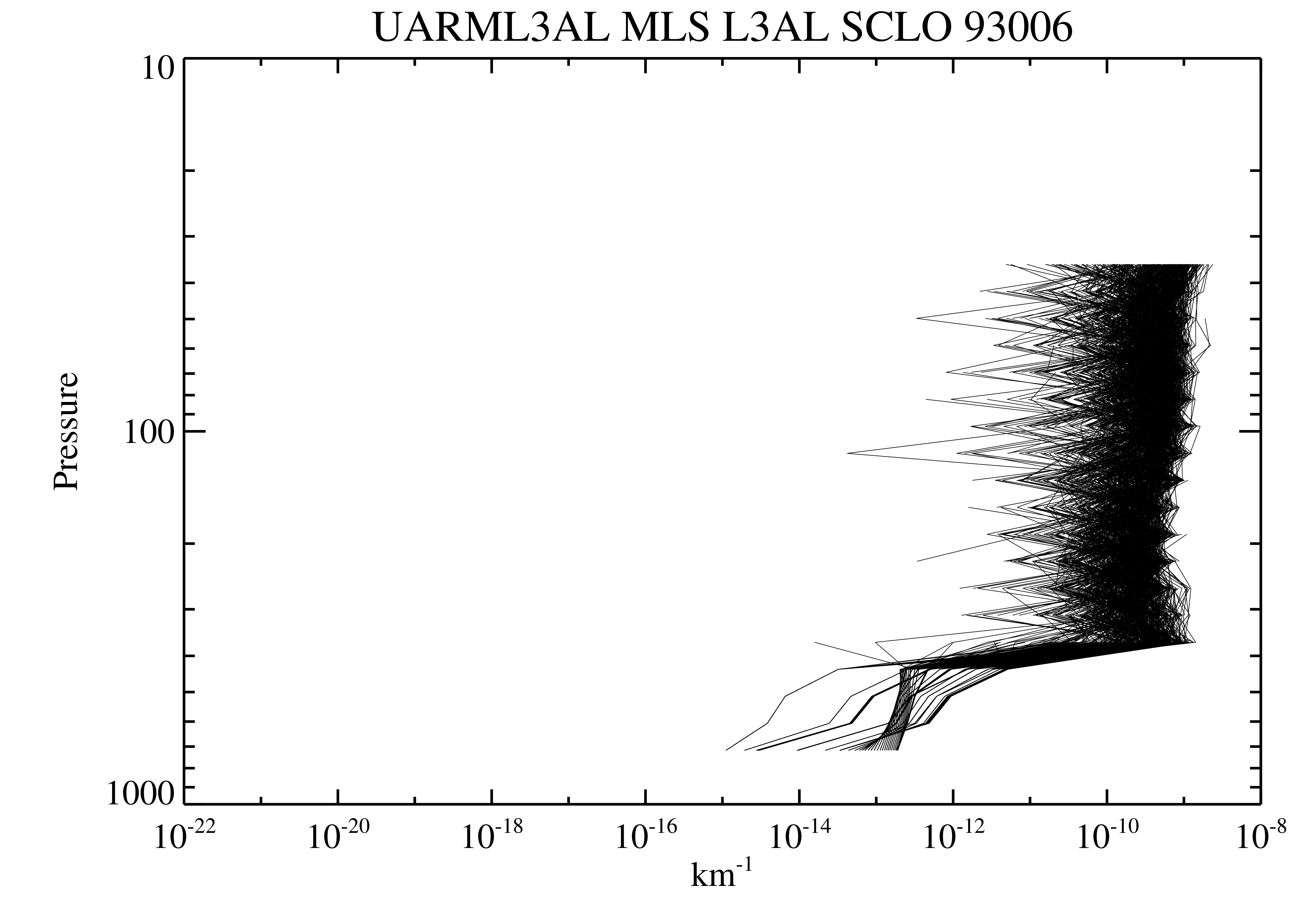
UARS Microwave Limb Sounder (MLS) Level 3AL V005 (UARML3AL) at GES DISC
National Aeronautics and Space Administration —
The Microwave Limb Sounder (MLS) Level 3AL data product consists of daily, 4 degree increment latitude-ordered vertical profiles of temperature, geopotential height,... -
Federal
UARS Cryogenic Limb Array Etalon Spectrometer (CLAES) Level 3AL V009 (UARCL3AL) at GES DISC
National Aeronautics and Space Administration —
The Cryogenic Limb Array Etalon Spectrometer (CLAES) Level 3AL data product consists of daily, 4 degree increment latitude-ordered vertical profiles of temperature... -
Federal
UARS Wind Imaging Interferometer (WINDII) Level 3AL V011 (UARWI3AL) at GES DISC
National Aeronautics and Space Administration —
The Wind Imaging Interferometer (WINDII) Level 3AL data product consists of daily, 4 degree increment latitude-ordered vertical profiles of meridional and zonal wind... -
Federal
UARS Improved Stratospheric and Mesospheric Sounder (ISAMS) Level 3AT V010 (UARIS3AT) at GES DISC
National Aeronautics and Space Administration —
The Improved Stratospheric and Mesospheric Sounder (ISAMS) Level 3AT data product consists of daily, 65.536 second interval time-ordered vertical profiles of... -
Federal
UARS Correlative NMC Daily Gridded Stratospheric Assimilated Data V001 (UARZCNMC) at GES DISC
National Aeronautics and Space Administration —
The UARS Correlative assimilation data from NOAA's National Meteorological Center (NMC) consists of daily model runs at 12 GMT as a means of providing an independent... -
Federal
UARS Cryogenic Limb Array Etalon Spectrometer (CLAES) Level 3AT V009 (UARCL3AT) at GES DISC
National Aeronautics and Space Administration —
The Cryogenic Limb Array Etalon Spectrometer (CLAES) Level 3AT data product consists of daily, 65.536 second interval time-ordered vertical profiles of temperature...
13 datasets found