
-
Federal
Integrated Surface Dataset (Global) (Version Superseded)
National Oceanic and Atmospheric Administration, Department of Commerce —
This version has been superseded by a newer version. It is highly recommended for users to access the current version. Users should only access this superseded... -
Federal
Effects of ozone-depleting substances on ultraviolet radiation and skin cancer rates in Australia and the United States of America
U.S. Environmental Protection Agency —
Data availability for GeoHealth journal publication "Effects of ozone-depleting substances on ultraviolet radiation and skin cancer rates in Australia and the United... -
Federal
SOLVE I DC-8 Analysis Model Data
National Aeronautics and Space Administration —
SOLVE1_Analysis_DC8_Data contains modeled trajectories and meteorological data along the flight path for the DC-8 aircraft collected during the SAGE III Ozone Loss... -
Federal
PEM Tropics B P-3B Trajectory Data
National Aeronautics and Space Administration —
PEM-Tropics-B_Trajectory_P3B_Data is the trajectory data collected onboard the P-3B aircraft during the Pacific Exploratory Mission (PEM) Tropics B suborbital... -
Federal
DISCOVER-AQ Maryland Deployment NOAA Delaware II Ship Data
National Aeronautics and Space Administration —
DISCOVERAQ_Maryland_Ship_NOAA-DelawareII_Data contains data collected onboard the NOAA Delaware II Ship during the Maryland (Baltimore-Washington) deployment of... -
Federal
TRACE-A In Situ DC-8 Meteorology and Navigation Data
National Aeronautics and Space Administration —
TRACE-A_MetNav_AircraftInSitu_DC8_Data is the in situ meteorology and navigation data collected onboard the DC-8 aircraft during the Transport and Atmospheric... -
Federal
HAQAST Sentinel-5P TROPOMI Nitrogen Dioxide (NO2) GLOBAL Annual Level 3 0.1 x 0.1 Degree Gridded Data Version 2.4 (HAQ_TROPOMI_NO2_GLOBAL_A_L3) at GES DISC
National Aeronautics and Space Administration —
This product provides level 3 annual averages of tropospheric Nitrogen dioxide (NO2) vertical column density derived from the level 2 Tropospheric Monitoring... -
Federal
VIIRS/NPP Surface Reflectance Daily L3 Global 0.05 Deg CMG V001
National Aeronautics and Space Administration —
The Visible Infrared Imaging Radiometer Suite (VIIRS) (https://lpdaac.usgs.gov/dataset_discovery/viirs) daily surface reflectance Climate Modeling Grid (VNP09CMG)... -
Federal
VIIRS/NPP Surface Reflectance 8-Day L3 Global 1km SIN Grid V001
National Aeronautics and Space Administration —
The 8-day Visible Infrared Imaging Radiometer Suite (VIIRS) surface reflectance (VNP09A1) Version 1 composite product provides an estimate of land surface reflectance... -
Federal
LIMS/Nimbus-7 Level 2 Vertical Profiles of O3, NO2, H2O, HNO3, Geopotential Height, and Temperature V006 (LIMSN7L2) at GES DISC
National Aeronautics and Space Administration —
The Limb Infrared Monitor of the Stratosphere (LIMS) version 6 Level-2 data product consists of daily, geolocated, vertical profiles of temperature, geopotential... -
Federal
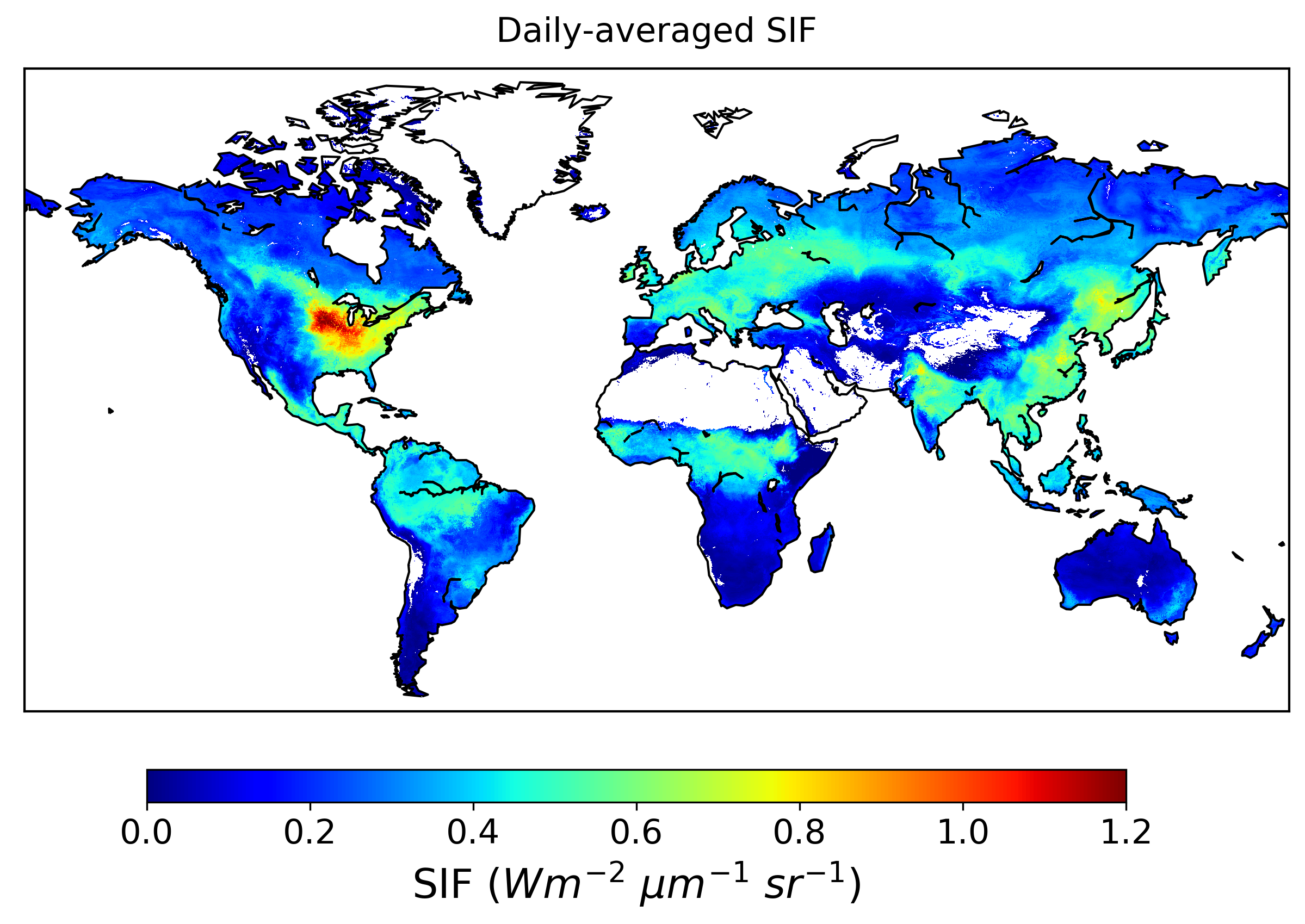
Global High-Resolution Estimates of SIF from Fused SCIAMACHY and GOME-2, V2
National Aeronautics and Space Administration —
This dataset provides global solar-induced chlorophyll fluorescence (SIF) estimates at a 0.05-degree resolution (approximately 5 km at the equator) for each month... -
Federal
MODIS/Aqua Temperature and Water Vapor Profiles 5-Min L2 Swath 5km
National Aeronautics and Space Administration —
The MODIS/Aqua Temperature and Water Vapor Profiles 5-Min L2 Swath 5km (MYD07_L2) product consists of a numbers of parameters related to atmospheric stability,... -
Federal
Fast Longwave And SHortwave Fluxes (FLASHflux) Clouds and Radiative Swath (SSF) TERRA-FM1 data in HDF Version 4A
National Aeronautics and Space Administration —
FLASH_SSF_Terra-FM1-MODIS_Version4A is the Fast Longwave And Shortwave Radiative Fluxes (FLASHFlux) Clouds and Radiative Swath (SSF) TERRA-FM1 data in HDF Version 4A... -
Federal
TRACE-P Ground Data
National Aeronautics and Space Administration —
TRACE-P_Ground_Data is the ground site data collected during the Transport and Chemical Evolution over the Pacific (TRACE-P) suborbital campaign. Data collection for... -
Federal
Sounder SIPS: Suomi NPP CrIMSS Level 3 Comprehensive Quality Control Gridded Daily CLIMCAPS Full Spectral Resolution V2 (SNDRSNIML3CDCCP) at GES DISC
National Aeronautics and Space Administration —
WARNING: To users of the derived product “co_mmr_midtrop” (carbon monoxide mass mixing ratio to dry air [kg/kg] at ~500 hPa). This variable has a significant bias due... -
Federal
VIIRS/NPP Surface Reflectance Daily L2G Global 1km and 500m SIN Grid V001
National Aeronautics and Space Administration —
The Visible Infrared Imaging Radiometer Suite (VIIRS) (https://lpdaac.usgs.gov/dataset_discovery/viirs) daily surface reflectance (VNP09GA) Version 1 product provides... -
Federal
DC3 In-Situ DC-8 Meteorological and Navigational Data
National Aeronautics and Space Administration —
DC3_MetNav_AircraftInSitu_DC8_Data are in-situ meteorological and navigational data collected onboard the DC-8 aircraft during the Deep Convective Clouds and... -
County
Allegheny County Air Quality
Allegheny County / City of Pittsburgh / Western PA Regional Data Center —
Air quality data is collected from the Allegheny County Health Department monitors throughout the county. This data must be verified by qualified individuals before... -
Federal
ARCTAS P-3B Aircraft Aerosol In-situ Data
National Aeronautics and Space Administration —
ARCTAS_Aerosol_AircraftInSitu_P3B_Data is the in-situ aerosol data collected by the P-3B aircraft during the Arctic Research of the Composition of the Troposphere... -
Federal
LISTOS Bayonne Ground Site Data
National Aeronautics and Space Administration —
LISTOS_Ground_Bayonne_Data is the Long Island Sound Tropospheric Ozone Study (LISTOS) ground site data collected at the Bayonne ground site during the LISTOS field...

Official websites use .gov
A
.gov website belongs to an official government
organization in the United States.
Secure .gov websites use HTTPS
A
lock (
) or https:// means you’ve safely connected to
the .gov website. Share sensitive information only on official,
secure websites.