
-
Federal
Meteorological Data (including visibility)
National Oceanic and Atmospheric Administration, Department of Commerce —
The National Ocean Service (NOS) maintains a long-term database containing data from active and historic stations installed all over the United States and U.S.... -
Federal
2024 NOAA NGS Emergency Response Imagery: Hurricane Helene
National Oceanic and Atmospheric Administration, Department of Commerce —
Aerial imagery was acquired following Hurricane Helene. The aerial photography missions were conducted by the NOAA Remote Sensing Division. The images were acquired... -
Federal
Tides and Currents Map: an interactive map of all CO-OPS stations NGDA
National Oceanic and Atmospheric Administration, Department of Commerce —
This interactive map has many features designed to provide a quick and easy way to find a Center for Operational Oceanographic Products and Services (CO-OPS) station.... -
Federal
Sea Level Trends: Sea Level Variations of the United States Derived from National Water Level Observation Network Stations NGDA
National Oceanic and Atmospheric Administration, Department of Commerce —
Water level records are a combination of the fluctuations of the ocean and the vertical land motion at the location of the station. Monthly mean sea level (MSL)... -
Federal
High Tide Flooding Products from NOAA CO-OPS
National Oceanic and Atmospheric Administration, Department of Commerce —
High tide flooding is the overflow or excess accumulation of water that covers typically dry coastal land and occurs during high tides. As relative sea levels rise,... -
Federal
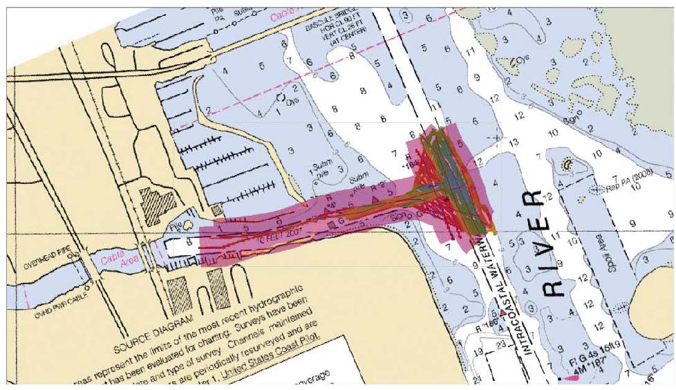
F00909: NOS Hydrographic Survey , 2024-09-30
National Oceanic and Atmospheric Administration, Department of Commerce —
The National Oceanic and Atmospheric Administration (NOAA) has the statutory mandate to collect hydrographic data in support of nautical chart compilation for safe... -
Federal
U.S. Coastal Relief Model Vol.3 - Florida and East Gulf of Mexico
National Oceanic and Atmospheric Administration, Department of Commerce —
NGDC's U.S. Coastal Relief Model (CRM) provides the first comprehensive view of the U.S. coastal zone integrating offshore bathymetry with land topography into a... -
Federal
National Fish Habitat Action Plan (NFHAP) - Coastal Spatial Framework and Coastal Indicator Data
National Oceanic and Atmospheric Administration, Department of Commerce —
The NFHAP Coastal Spatial Framework and Indicator Datasets consist of a geospatial base layer developed in ArcGIS, and associated data fields joined to the spatial... -
Federal
CO-OPS Air Gap Observations from Various Bridges within the United States and Its Territories
National Oceanic and Atmospheric Administration, Department of Commerce —
The Center for Operational Oceanographic Products and Services (CO-OPS) of the National Ocean Service (NOS), an organizational element of NOAA, operates and maintains... -
Federal
Extreme Water Levels from CO-OPS
National Oceanic and Atmospheric Administration, Department of Commerce —
Extremely high or low water levels at coastal locations are an important public concern and a factor in coastal hazard assessment, navigational safety, and ecosystem... -
Federal
H07632: NOS Hydrographic Survey , 1947-12-31
National Oceanic and Atmospheric Administration, Department of Commerce —
The National Oceanic and Atmospheric Administration (NOAA) has the statutory mandate to collect hydrographic data in support of nautical chart compilation for safe... -
Federal
H06538: NOS Hydrographic Survey , 1939-12-31
National Oceanic and Atmospheric Administration, Department of Commerce —
The National Oceanic and Atmospheric Administration (NOAA) has the statutory mandate to collect hydrographic data in support of nautical chart compilation for safe... -
Federal
F00757: NOS Hydrographic Survey , 2018-11-01
National Oceanic and Atmospheric Administration, Department of Commerce —
The National Oceanic and Atmospheric Administration (NOAA) has the statutory mandate to collect hydrographic data in support of nautical chart compilation for safe... -
Federal
H04968: NOS Hydrographic Survey , 1929-12-31
National Oceanic and Atmospheric Administration, Department of Commerce —
The National Oceanic and Atmospheric Administration (NOAA) has the statutory mandate to collect hydrographic data in support of nautical chart compilation for safe... -
Federal
Map Layer: Karenia brevis Cell Counts
National Oceanic and Atmospheric Administration, Department of Commerce —
This dataset contains "Karenia brevis" data from Texas, Mississippi, Alabama, and Florida, as well as data along the Florida Shelf in the Gulf of Mexico and along the... -
Federal
H12408: NOS Hydrographic Survey , 2013-09-26
National Oceanic and Atmospheric Administration, Department of Commerce —
The National Oceanic and Atmospheric Administration (NOAA) has the statutory mandate to collect hydrographic data in support of nautical chart compilation for safe... -
Federal
H13176: NOS Hydrographic Survey , 2019-06-21
National Oceanic and Atmospheric Administration, Department of Commerce —
The National Oceanic and Atmospheric Administration (NOAA) has the statutory mandate to collect hydrographic data in support of nautical chart compilation for safe... -
Federal
2002 Long Island South Shore Estuary Benthic Habitat Polygon Data Set
National Oceanic and Atmospheric Administration, Department of Commerce —
In June 2002, 200 1:20,000 scale conventional-color metric film diapositives for Long Island, New York were collected as part of an effort to map submerged aquatic... -
Federal
F00634: NOS Hydrographic Survey , 2013-06-04
National Oceanic and Atmospheric Administration, Department of Commerce —
The National Oceanic and Atmospheric Administration (NOAA) has the statutory mandate to collect hydrographic data in support of nautical chart compilation for safe... -
Federal
D00216: NOS Hydrographic Survey , 2016-10-08
National Oceanic and Atmospheric Administration, Department of Commerce —
The National Oceanic and Atmospheric Administration (NOAA) has the statutory mandate to collect hydrographic data in support of nautical chart compilation for safe...

Official websites use .gov
A
.gov website belongs to an official government
organization in the United States.
Secure .gov websites use HTTPS
A
lock (
) or https:// means you’ve safely connected to
the .gov website. Share sensitive information only on official,
secure websites.