
-
Federal
Composition of Foods Raw, Processed, Prepared USDA National Nutrient Database for Standard Reference, Release 28
Department of Agriculture —
[Note: Integrated as part of FoodData Central, April 2019.] The database consists of several sets of data: food descriptions, nutrients, weights and measures,... -
Federal
AIRS/Aqua L2 Near Real Time (NRT) Cloud-Cleared Infrared Radiances (AIRS-only) V006 (AIRS2CCF_NRT) at GES DISC
National Aeronautics and Space Administration —
The Atmospheric Infrared Sounder (AIRS) Level 2 Near Real Time (NRT) Cloud-Cleared Infrared Radiances (AIRS-only) product (AIRS2CCF_NRT_006) differs from the routine... -
Federal
Radio Frequency Interference Measurements of Industrial Machinery
National Institute of Standards and Technology —
The 2.4 GHz ISM band is shared by Wi-Fi, Bluetooth, Wireless HART, ISA100.11a, and several other industrial wireless systems. Our dataset contains comprehensive... -
Federal
CYGNSS Level 1 Science Data Record Version 3.2
National Aeronautics and Space Administration —
This CYGNSS Level 1 (L1) science data record dataset contains the version 3.2 geo-located Delay Doppler Maps (DDMs) calibrated into Power Received (Watts) and... -
Federal
Developing DNA Methods to Monitor Invasive Species and Biodiversity in Estuaries - NERRS/NSC(NERRS Science Collaborative)
National Oceanic and Atmospheric Administration, Department of Commerce —
This project tested the use of eDNA methods to identify fish communities, assess biodiversity, and detect invasive crabs in different types of estuaries and connected... -
Federal
Asynchronous AM Bench 2022 Challenge Data: Real-time, simultaneous absorptance and high-speed Xray imaging
National Institute of Standards and Technology —
The absolute laser absorption was measured simultaneously with X-ray imaging during laser melting of Ti-6Al-4V solid metal. The data included here are the time-... -
Federal
CYGNSS Level 1 Science Data Record Version 3.0
National Aeronautics and Space Administration —
This Level 1 (L1) dataset contains the Version 3.0 geo-located Delay Doppler Maps (DDMs) calibrated into Power Received (Watts) and Bistatic Radar Cross Section... -
Federal
First ISCCP Regional Experiment (FIRE) Atlantic Stratocumulus Transition Experiment (ASTEX) Colorado State University (CSU) Ceilometer Data (FIRE_AX_CSU_CEILOM)
National Aeronautics and Space Administration —
The First ISCCP Regional Experiments have been designed to improve data products and cloud/radiation parameterizations used in general circulation models (GCMs).... -
Federal
AIRS/Aqua L1B Near Real Time (NRT) Infrared (IR) geolocated and calibrated radiances V8.0 (AIRSAQIRL1B_NRT) at GES DISC
National Aeronautics and Space Administration —
The Atmospheric Infrared Sounder (AIRS) is a grating spectrometer (R = 1200) aboard the second Earth Observing System (EOS) polar-orbiting platform, EOS Aqua. In... -
Federal
AIRS/Aqua L1B Near Real Time (NRT) Infrared (IR) geolocated and calibrated radiances V005 (AIRIBRAD_NRT) at GES DISC
National Aeronautics and Space Administration —
WARNING: On 2021/09/23 the EOS Aqua executed a Deep Space Maneuver (DSM). In the DSM, the spacecraft is turned such that the normal Earth field of regard is deep... -
Federal
H08408: NOS Hydrographic Survey , South of Watts Island, Virginia, 1957-10-15
National Oceanic and Atmospheric Administration, Department of Commerce —
The National Oceanic and Atmospheric Administration (NOAA) has the statutory mandate to collect hydrographic data in support of nautical chart compilation for safe... -
Federal
CYGNSS Level 1 Science Data Record Version 2.1
National Aeronautics and Space Administration —
This Level 1 (L1) dataset contains the Version 2.1 geo-located Delay Doppler Maps (DDMs) calibrated into Power Received (Watts) and Bistatic Radar Cross Section... -
Federal
CYGNSS Level 1 Climate Data Record Version 1.0
National Aeronautics and Space Administration —
This Level 1 (L1) dataset contains the Version 1.0 Climate Data Record (CDR) of the geo-located Delay Doppler Maps (DDMs) calibrated into Power Received (Watts) and... -
Federal
CYGNSS Level 1 Science Data Record Version 3.1
National Aeronautics and Space Administration —
This Level 1 (L1) dataset contains the Version 3.1 geo-located Delay Doppler Maps (DDMs) calibrated into Power Received (Watts) and Bistatic Radar Cross Section... -
Federal
CYGNSS Level 1 Climate Data Record Version 1.1
National Aeronautics and Space Administration —
This Level 1 (L1) dataset contains the Version 1.1 Climate Data Record (CDR) of the geo-located Delay Doppler Maps (DDMs) calibrated into Power Received (Watts) and... -
Federal
CYGNSS Level 1 Climate Data Record Version 1.2
National Aeronautics and Space Administration —
This Level 1 (L1) dataset contains the Version 1.2 Climate Data Record (CDR) of the geo-located Delay Doppler Maps (DDMs) calibrated into Power Received (Watts) and... -
Federal
AIRS-CloudSat cloud mask, radar reflectivities, and cloud classification matchups V3.2 (AIRS_CPR_MAT) at GES DISC
National Aeronautics and Space Administration —
This is AIRS-CloudSat collocated subset, in NetCDF-4 format. These data contain collocated: AIRS Level 1b radiances spectra, CloudSat radar reflectivities, and MODIS... -
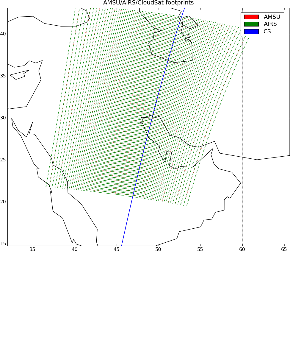
Federal
AIRS-AMSU variables-CloudSat cloud mask, radar reflectivities, and cloud classification matchups V3.2 (AIRSM_CPR_MAT) at GES DISC
National Aeronautics and Space Administration —
This is AIRS-CloudSat collocated subset, in NetCDF 4 format. These data contain collocated: AIRS/AMSU retrievals at AMSU footprints, CloudSat radar reflectivities,... -
Federal
NOAA GOES-R Series Advanced Baseline Imager (ABI) Level 2 Downward Shortwave Radiation: Surface (DSR)
National Oceanic and Atmospheric Administration, Department of Commerce —
The GOES-R Advanced Baseline Imager (ABI) Downward Shortwave Radiation (DSR): Surface product contains an image with pixel values identifying the instantaneous total...

Official websites use .gov
A
.gov website belongs to an official government
organization in the United States.
Secure .gov websites use HTTPS
A
lock (
) or https:// means you’ve safely connected to
the .gov website. Share sensitive information only on official,
secure websites.