
-
Federal
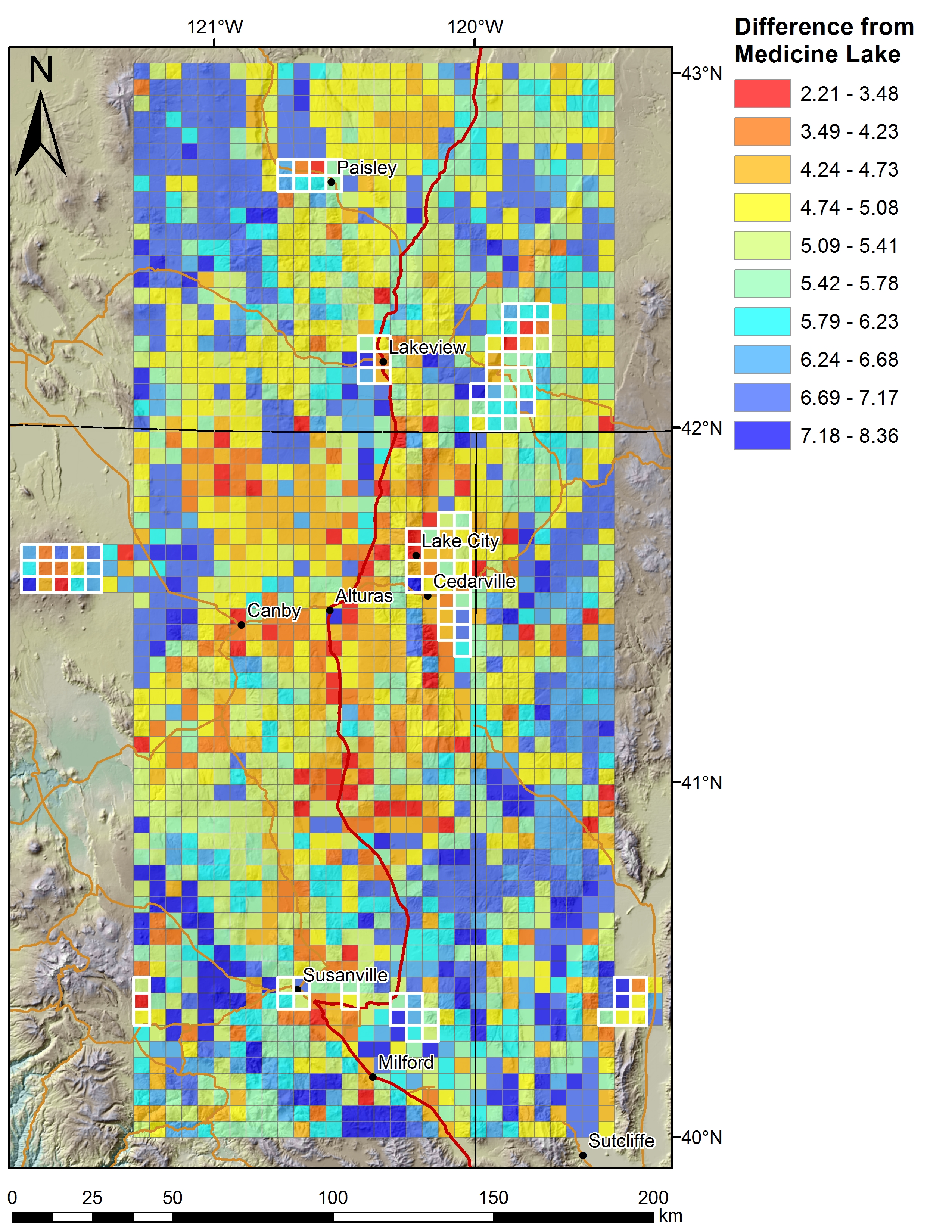
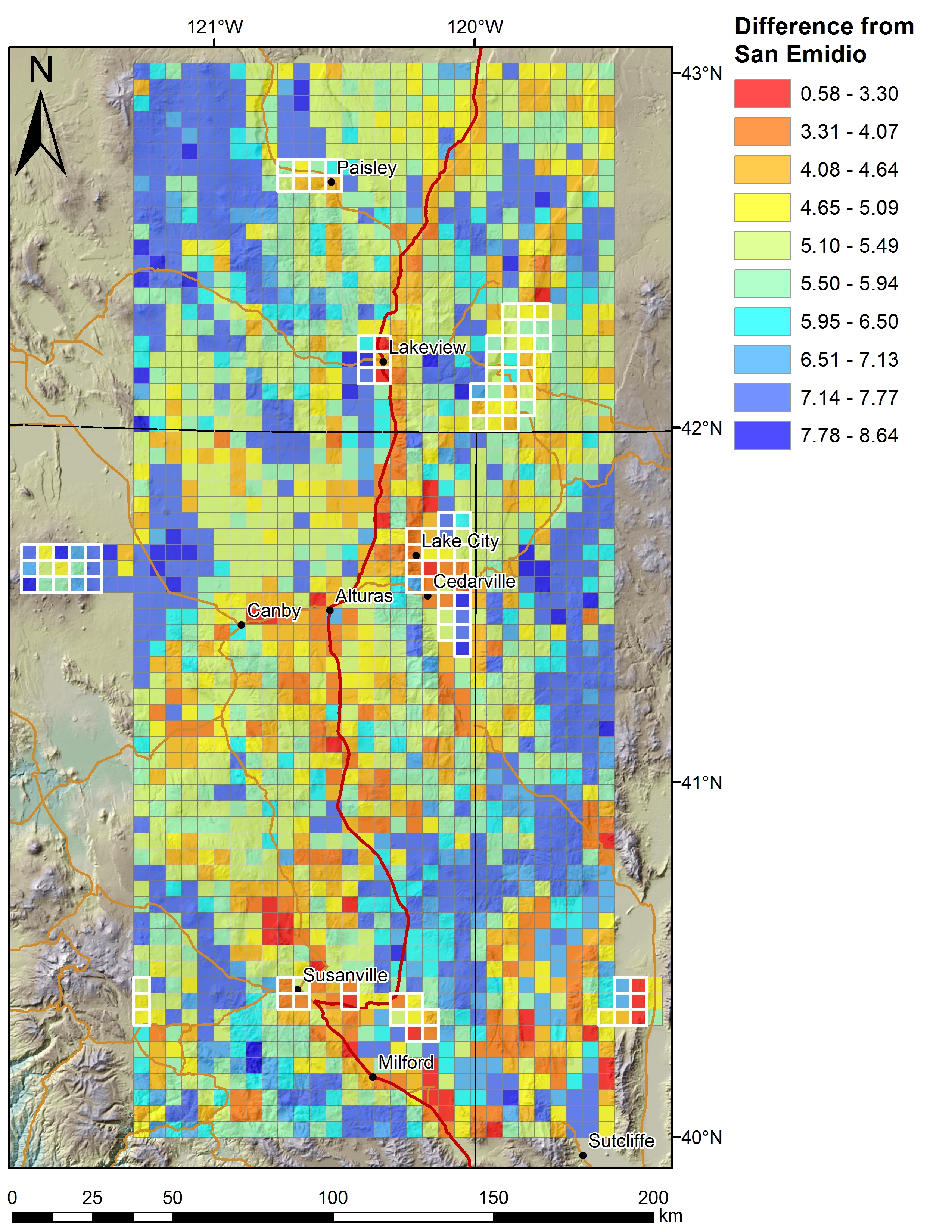
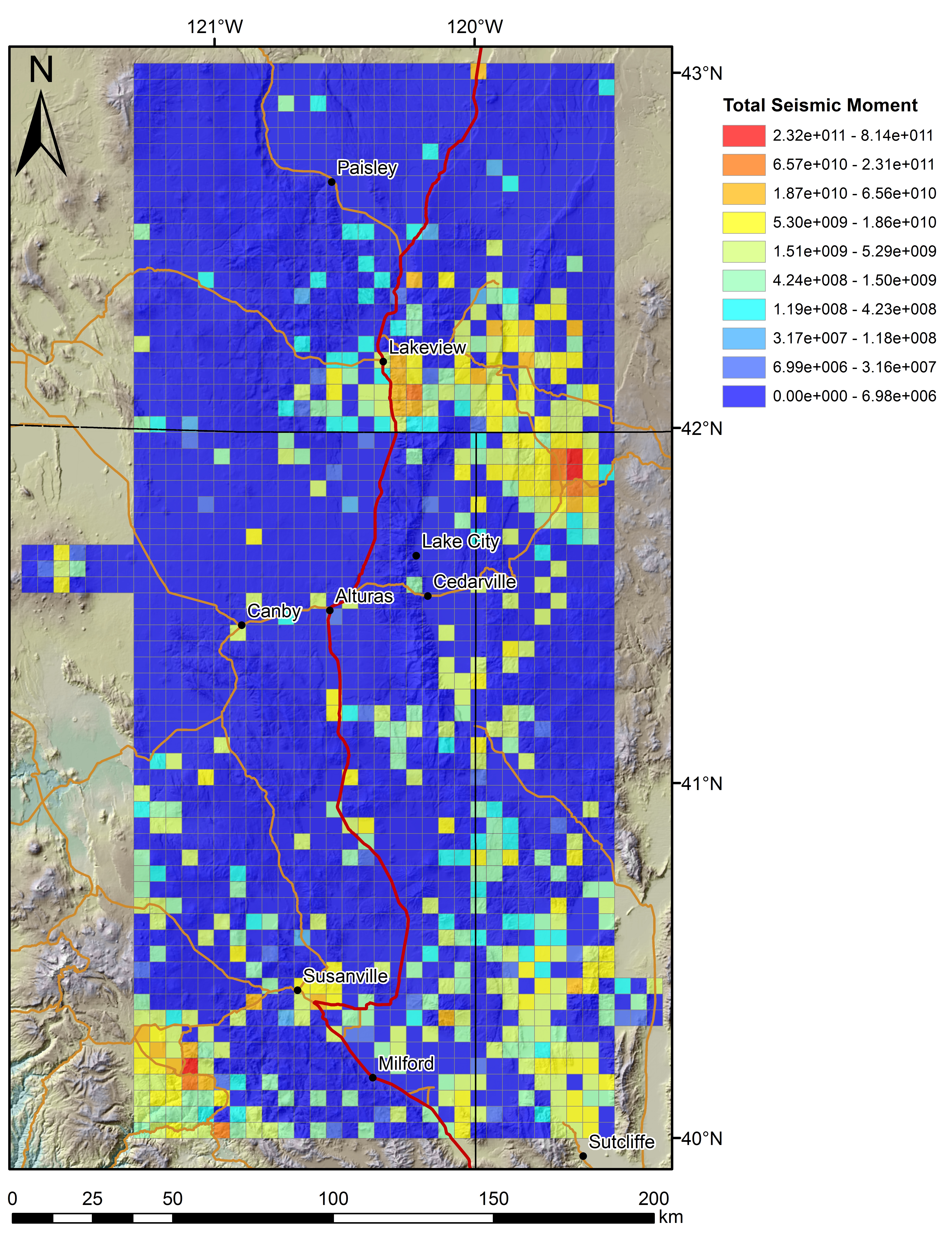
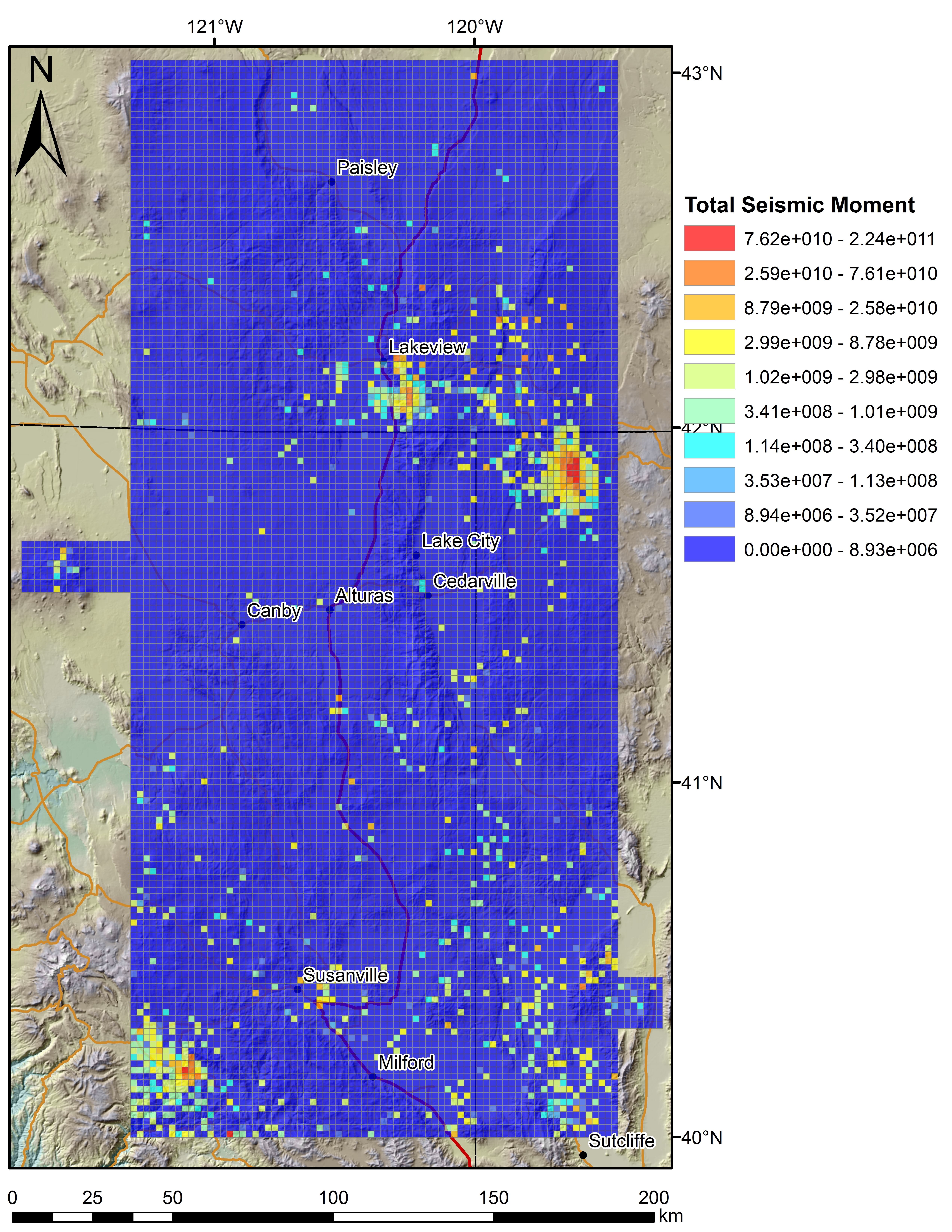
Play Fairway Analysis CA-NV-OR: Figures on 2km Grids
Department of Energy —
Various data sets displayed on a 2km grid for the Play Fairway Analysis CA-NV-OR area. -
Federal
SASSIE Arctic Field Campaign Drifter Hydrography Data Fall 2022 Version 2p
National Aeronautics and Space Administration —
The Salinity and Stratification at the Sea Ice Edge (SASSIE) project is a NASA experiment that aims to understand how salinity anomalies in the upper ocean generated... -
Federal
GHRSST Level 4 SPoRT Global Foundation Sea Surface Temperature Analysis (v1.0)
National Aeronautics and Space Administration —
The GHRSST Level 4 SPoRT Global Foundation Sea Surface Temperature Analysis (v1.0) dataset is produced by the by the NASA Short-term Prediction Research and... -
Federal
SPURS-2 Saildrone data for the E. Tropical Pacific field campaign
National Aeronautics and Space Administration —
The SPURS (Salinity Processes in the Upper Ocean Regional Study) project is a NASA-funded oceanographic process study and associated field program that aim to... -
Federal
Jason-3 GPS based orbit and SSHA OGDR
National Aeronautics and Space Administration —
This is a near real time dataset that provides a GPS based orbit and Sea Surface Height Anomalies (SSHA) from that orbit. It is similar to the Jason-3 Operation... -
Federal
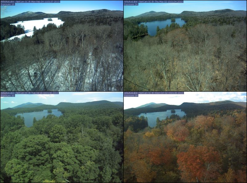
PhenoCam Dataset v3.0: Digital Camera Imagery from the PhenoCam Network, 2000-2023
National Aeronautics and Space Administration —
This dataset provides a time series of visible-wavelength digital camera imagery collected through the PhenoCam Network at each of 738 sites across diverse ecosystems... -
Federal
VIIRS/NPP Land Cover Dynamics Yearly L3 Global 0.05 Deg CMG V001
National Aeronautics and Space Administration —
The VNP22C2 Version 1 data product was decommissioned on July 31, 2025. Users are encouraged to use theFederalSASSIE Arctic Field Campaign Shipboard Acoustic Doppler Current Profiler Data Fall 2022
National Aeronautics and Space Administration —
This dataset contains measurements of shipboard ocean current speed vertical shear from an acoustic doppler current profiler (ADCP) during the Salinity and...FederalSASSIE Arctic Field Campaign Shipboard Salinity Snake Data Fall 2022
National Aeronautics and Space Administration —
The Salinity and Stratification at the Sea Ice Edge (SASSIE) project is a NASA experiment that aims to understand how salinity anomalies in the upper ocean generated...FederalSASSIE Arctic Field Campaign Under Ice Float Fall 2022 Version 1
National Aeronautics and Space Administration —
The Salinity and Stratification at the Sea Ice Edge (SASSIE) project is a NASA experiment that aims to understand how salinity anomalies in the upper ocean generated...FederalCYGNSS Level 2 Science Data Record Version 3.0
National Aeronautics and Space Administration —
This dataset contains the Version 3.0 CYGNSS Level 2 Science Data Record which provides the time-tagged and geolocated average wind speed (m/s) and mean square slope...FederalABoVE: Passive Microwave-derived Annual Snowpack Main Melt Onset Date Maps, 1988-2023
National Aeronautics and Space Administration —
This dataset provides the annual date of snowpack seasonal beginning melt (i.e., main melt onset date, MMOD) across northwest Canada, Alaska, US, and parts of far...FederalSaildrone Baja field campaign surface and ADCP measurements
National Aeronautics and Space Administration —
Saildrone is a wind and solar powered unmanned surface vehicle (USV) capable of long distance deployments lasting up to 12 months and providing high quality, near...FederalPhenoCam Dataset v3.0: Vegetation Phenology from Digital Camera Imagery, 2000-2023
National Aeronautics and Space Administration —
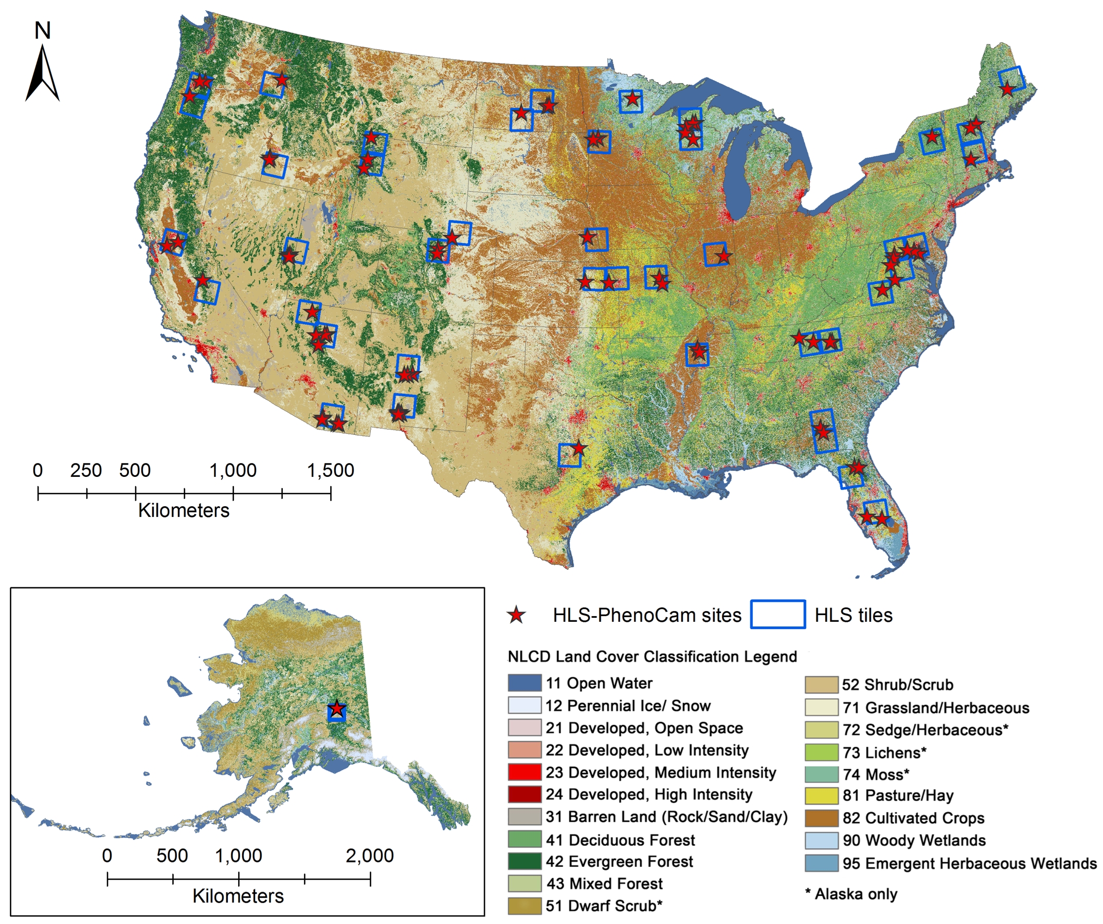
This dataset provides vegetation phenological observations for 738 sites across diverse ecosystems of the world (mostly North America) from 2000 to 2023. The...FederalPhenology derived from Satellite Data and PhenoCam across CONUS and Alaska, 2019-2020
National Aeronautics and Space Administration —
This dataset provides a reference of land surface phenology (LSP) at 30-m pixels for 78 regions of 10 x 10 km2 across a wide range of ecological and climatic regions...FederalVIIRS/NPP Land Surface Phenology Yearly L3 Global 0.05Deg CMG V002
National Aeronautics and Space Administration —
The NASA/NOAA Suomi National Polar-orbiting Partnership (Suomi NPP) Visible Infrared Imaging Radiometer Suite (VIIRS) Land Surface Phenology data product provides...FederalVIIRS/NPP Land Surface Phenology Yearly L3 Global 500m SIN Grid V002
National Aeronautics and Space Administration —
The NASA/NOAA Suomi National Polar-orbiting Partnership (Suomi NPP) Visible Infrared Imaging Radiometer Suite (VIIRS) Land Surface Phenology data product provides...FederalSaildrone Baja field campaign surface and ADCP measurements
National Aeronautics and Space Administration —
Saildrone is a wind and solar powered unmanned surface vehicle (USV) capable of long distance deployments lasting up to 12 months and providing high quality, near...FederalCountry-Level Population and Downscaled Projections Based on the SRES A1, B1, and A2 Scenarios, 1990-2100
National Aeronautics and Space Administration —
The Country-Level Population and Downscaled Projections Based on Special Report on Emissions Scenarios (SRES) A1, B1, and A2 Scenarios, 1990-2100, were adopted in...42 datasets found for "Transit"

Official websites use .gov
A
.gov website belongs to an official government
organization in the United States.
Secure .gov websites use HTTPS
A
lock (
) or https:// means you’ve safely connected to
the .gov website. Share sensitive information only on official,
secure websites.