

12 datasets found for "Oil Facilities"
-
Federal
SHIFT: Wetland Spectra, Salinity, and Fractional Cover, Devereux Slough, CA, 2022
National Aeronautics and Space Administration —
This dataset includes field data, analysis code, and corresponding airborne imagery collected and generated during the 2022 NASA Surface Biology Geology (SBG) High... -
Federal
Anthropogenic Carbon Emission System, 2012-2017, Version 2
National Aeronautics and Space Administration —
This dataset provides estimates of hourly carbon dioxide (CO2) emissions from the combustion of fossil fuels at 1-km resolution for the coterminous United States... -
Federal
Longwave-infrared spectral imagery in support of COMEX, 2014
National Aeronautics and Space Administration —
This dataset provides calibrated at-sensor radiance, retrieved surface brightness temperature, and adaptive coherence estimator (ACE) detection imagery of methane,... -
Federal
SCOAPE-II R/V Point Sur Data
National Aeronautics and Space Administration —
SCOAPE2_RVPointSur_Data is the data collected from instruments onboard the University of Southern Mississippi’s Research Vessel (R/V) Point Sur during the Satellite... -
Federal
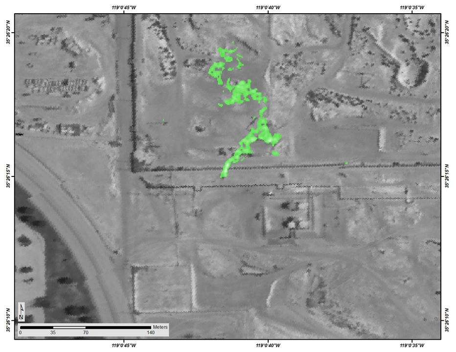
Sources of Methane Emissions (Vista-CA), State of California, USA
National Aeronautics and Space Administration —
This dataset provides spatial data products with identified and organized locations of potential methane (CH4) emitting facilities and infrastructure spanning the... -
Federal
Sources of Methane Emissions (Vista-LA), South Coast Air Basin, California, USA
National Aeronautics and Space Administration —
This data set provides spatial data products with identified and classified locations of potential methane (CH4) emitting facilities and infrastructure in the South... -
Federal
SCOAPE Balloon and Ozonesondes Data
National Aeronautics and Space Administration —
SCOAPE_Sondes_Data is the NO2-sonde and ozonesonde data collected during the Satellite Coastal and Oceanic Atmospheric Pollution Experiment (SCOAPE). Data were... -
Federal
SCOAPE R/V Point Sur Data
National Aeronautics and Space Administration —
SCOAPE_RVPointSur_Data is the data collected from instruments onboard the University of Southern Mississippi’s Research Vessel (R/V) Point Sur during the Satellite... -
Federal
SCOAPE-II Sondes Data
National Aeronautics and Space Administration —
SCOAPE2_Sondes_Data is the ozonesonde data collected during the Satellite Coastal and Oceanic Atmospheric Pollution Experiment - II (SCOAPE-II). Data collection for... -
Federal
Global Inventory of Methane Emissions from Fuel Exploitation V1 (GFEI_CH4)
National Aeronautics and Space Administration —
This is a global inventory of methane emissions from fuel exploitation (GFEI) created for the NASA Carbon Monitoring System (CMS). The emission sources represented in... -
Federal
SCOAPE Pandora Column Observations
National Aeronautics and Space Administration —
SCOAPE_Pandora_Data is the column NO2 and ozone data collected by Pandora spectrometers during the Satellite Coastal and Oceanic Atmospheric Pollution Experiment... -
Federal
SCOAPE Ground Site Data
National Aeronautics and Space Administration —
SCOAPE_Ground_Data is the ground site data collected during the Satellite Coastal and Oceanic Atmospheric Pollution Experiment (SCOAPE). The ground site was located...
12 datasets found for "Oil Facilities"