

53 datasets found for "Infrastructure"
-
Federal
Assistance Listings at beta.SAM.gov (formerly CFDA)
General Services Administration —
The federal government provides assistance to the American public in the form of projects, services, and activities. It supports a broad range of programs such as... -
Federal
Arctic Sea Ice Freeboard and Thickness, Version 1
National Aeronautics and Space Administration —
This data set provides measurements of sea ice freeboard and sea ice thickness for the Arctic region. The data were derived from measurements made by from the Ice,... -
Federal
GEDI L2A Elevation and Height Metrics Data Global Footprint Level V002
National Aeronautics and Space Administration —
The Global Ecosystem Dynamics Investigation (GEDI) mission aims to characterize ecosystem structure and dynamics to enable radically improved quantification and... -
Federal
Data Files for “The 2030 National Charging Network: Estimating U.S. Light-Duty Demand for Electric Vehicle Charging Infrastructure"
Department of Energy —
This data set includes modeling results from “The 2030 National Charging Network: Estimating U.S. Light-Duty Demand for Electric Vehicle Charging Infrastructure”... -
Federal
NACP Site: Terrestrial Biosphere Model Output Data in Original Format
National Aeronautics and Space Administration —
This data set contains the original model output data submissions from the 24 terrestrial biosphere models (TBM) that participated in the North American Carbon... -
Federal
Northern and Mid-Latitude Soil Database, Version 1, R1
National Aeronautics and Space Administration —
The U.S. Department of Agriculture, Agriculture and Agri-Food Canada, the Russian Academy of Agricultural Sciences, the University of Copenhagen Institute of... -
Federal
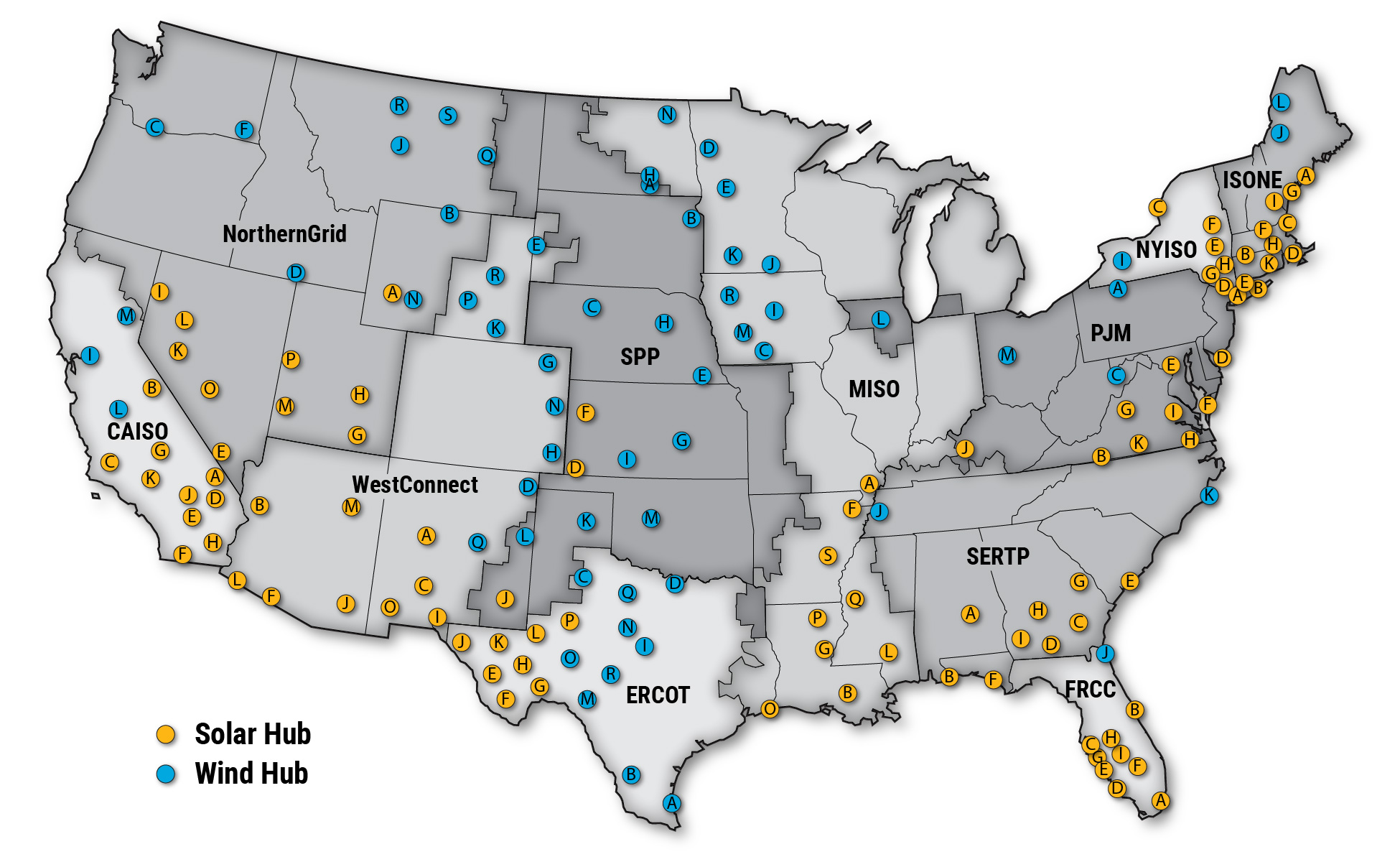
Interregional Renewable Energy Zones
Department of Energy —
Interregional Renewable Energy Zones (IREZs) are a component of the National Transmission Planning Study (NTPS), which analyzes strategies for building out... -
Federal
Socioeconomic Data for the Permian Basin
Department of Energy —
This dataset was compiled to support socioeconomic analyses of counties in the Permian Basin in Texas and New Mexico for the Permian Energy Development Lab (PEDL).... -
Federal
NREL Price Series Developed for the ARPA-E FLECCS Program
Department of Energy —
The price data for four regions (CAISO, ERCOT, MISO-W, and PJM-W) are developed using the ReEDS to PLEXOS conversion as described in (Gagnon et al. 2020). The... -
Federal
SAL and PVS Model of TTEthernet Synchronization Protocol
National Aeronautics and Space Administration —
Timed-Triggered Ethernet (or TTEthernet)is a communication infrastructure that enables the use of Ethernet in real-time, distributed systems. TTEthernet is compatible... -
Federal
Results from "Charging Needs for Electric Semi-Trailer Trucks"
Department of Energy —
This data set includes modeling results from “Charging Needs for Electric Semi-Trailer Trucks” including charging demand distributions and charging speed requirements... -
Federal
Armenia Compact - Irrigation Infrastructure
Millennium Challenge Corporation —
Armenia Compact - Irrigation Infrastructure -
Federal
Yup'ik Environmental Knowledge Project, Version 1
National Aeronautics and Space Administration —
Over the last ten years the Calista Elders Council (CEC) staff has worked with elders from Bering Sea coastal communities to document Yup'ik place names. Elders have... -
Federal
LBA-ECO CD-06 Physical, Political, and Hydrologic Maps, Ji-Parana River Basin, Brazil
National Aeronautics and Space Administration —
This data set contains physical, hydrologic, political, demographic, and societal maps for the Ji-Parana River Basin, in the state of Rondonia, Brazil. These data... -
Federal
Methane Plumes Derived from AVIRIS-NG over Point Sources across California, 2016-2017
National Aeronautics and Space Administration —
This dataset provides maps of methane (CH4) plumes along flight lines over identified methane point-source emitting infrastructure across the State of California, USA... -
Federal
Randolph Glacier Inventory - A Dataset of Global Glacier Outlines, Version 1
National Aeronautics and Space Administration —
The Randolph Glacier Inventory (RGI) is a global set of glacier outlines; it is intended as a snapshot of the world’s glaciers. This data set provides a single... -
Federal
Vulcan: High-Resolution Hourly Fossil Fuel CO2 Emissions in USA, 2010-2015, Version 3
National Aeronautics and Space Administration —
The Vulcan version 3.0 hourly dataset quantifies hourly emissions at a 1-km resolution for the 2010-2015 time period. Estimates are provided of hourly carbon dioxide... -
Federal
Sources of Methane Emissions (Vista-CA), State of California, USA
National Aeronautics and Space Administration —
This dataset provides spatial data products with identified and organized locations of potential methane (CH4) emitting facilities and infrastructure spanning the... -
Federal
Electrification Futures Study Flexible Load Profiles
Department of Energy —
This data set includes hourly profiles for flexible load developed for the Electrification Futures Study (EFS). The load profiles represent projected end-use... -
Federal
Impact of uncoordinated plug-in electric vehicle charging on residential power demand - supplementary data
Department of Energy —
This data set is provided in support of a forthcoming paper: "Impact of uncoordinated plug-in electric vehicle charging on residential power demand," [1]. These files...
53 datasets found for "Infrastructure"