
-
Federal
NOAA Continuously Operating Reference Stations (CORS) Network NGDA
National Oceanic and Atmospheric Administration, Department of Commerce —
The National Geodetic Survey (NGS), an office of NOAA's National Ocean Service, manages a network of Continuously Operating Reference Stations (CORS) that provide... -
Federal
Geoid Height and Deflections of the Vertical Models NGDA
National Oceanic and Atmospheric Administration, Department of Commerce —
In Gauss' words, the geoid is "the mathematical figure of the Earth". This figure is an equipotential surface coincident with the idealized mean sea surface. The... -
Federal
Airborne Gravity Data - Gravity for the Redefinition of the American Vertical Datum (GRAV-D) NGDA
National Oceanic and Atmospheric Administration, Department of Commerce —
Gravity for the Re-definition of the American Vertical Datum (GRAV-D) is a project initiated by NOAA's National Geodetic Survey to collect and monitor gravity data... -
Federal
Geodetic Control Information on Passive Marks NGDA
National Oceanic and Atmospheric Administration, Department of Commerce —
This data contains a set of geodetic control stations maintained by the National Geodetic Survey. Each geodetic control station in this dataset has either a precise... -
Federal
Structural Controls of the Tuscarora Geothermal Field, Elko County, Nevada - MS Thesis
Department of Energy —
Detailed geologic mapping, structural analysis, and well data have been integrated to elucidate the stratigraphic framework and structural setting of the Tuscarora... -
Federal
NOAA Coastal Mapping Remote Sensing Data NGDA
National Oceanic and Atmospheric Administration, Department of Commerce —
The Remote Sensing Division is responsible for providing data to support the Coastal Mapping Program, Emergency Response efforts, and the Aeronautical Survey Program... -
Federal
Archive of NOAA Continuously Operating Reference Stations (CORS) Network (NCN)
National Oceanic and Atmospheric Administration, Department of Commerce —
The National Geodetic Survey's (NGS) NOAA Continuously Operating Reference Stations (CORS) Network (NCN) provides Global Navigation Satellite System (GNSS) data... -
Federal
2000 Photo Mosaics and Hyperspectral Imagery for the Main Eight Hawaiian Islands Utilized to Map Shallow Water Benthic Habitats
National Oceanic and Atmospheric Administration, Department of Commerce —
This project is a cooperative effort among the National Ocean Service, National Centers for Coastal Ocean Science, Center for Coastal Monitoring and Assessment; the... -
Federal
Benthic Habitats of Florida Bay, FL 1991-1995 Geodatabase
National Oceanic and Atmospheric Administration, Department of Commerce —
In the winter of 1991/92 the National Oceanic and Atmospheric Administration's Office for Coastal Management's Coastal Change Analysis Program (C-CAP) and the State... -
Federal
Landsat 7 ETM/1G satellite imagery - Hawaiian Islands cloud-free mosaics
National Oceanic and Atmospheric Administration, Department of Commerce —
Cloud-free Landsat satellite imagery mosaics of the islands of the main 8 Hawaiian Islands (Hawaii, Maui, Kahoolawe, Lanai, Molokai, Oahu, Kauai and Niihau). Landsat... -
Federal
SCATSAT-1 Scatterometer Inter-Calibrated ESDR Level 2 Ocean Surface Equivalent Neutral Wind Vectors and Wind Stress Vectors Version 1.1
National Aeronautics and Space Administration —
This dataset contains ocean surface wind vectors (equivalent neutral and true 10m) and wind stress vectors derived from satellite-based scatterometer observations... -
Federal
MetOp-A ASCAT Scatterometer Inter-Calibrated ESDR Level 2 Ocean Surface Equivalent Neutral Wind Vectors and Wind Stress Vectors Version 1.1
National Aeronautics and Space Administration —
This dataset contains ocean surface wind vectors (equivalent neutral and true 10m) and wind stress vectors derived from satellite-based scatterometer observations... -
Federal
Benthic Habitats of Florida Bay, FL 1991-1995 Substrate
National Oceanic and Atmospheric Administration, Department of Commerce —
In the winter of 1991/92 the National Oceanic and Atmospheric Administration's Office for Coastal Management's Coastal Change Analysis Program (C-CAP) and the State... -
Federal
2019 NOAA NGS 4-band Ortho-rectified Mosaic of Chesapeake Bay (Gwynn to Newport News, VA)
National Oceanic and Atmospheric Administration, Department of Commerce —
This orthoimagery data set includes 0.3 meter 8-bit 4-band (RGB-IR) digital orthoimage tiles in GeoTIFF format. Geographic Extent: 7 counties in Maryland, covering... -
Federal
2018-2019 NOAA NGS 4-band Ortho-rectified Mosaic of Chesapeake Bay (Tilghman to Hoopersville, MD)
National Oceanic and Atmospheric Administration, Department of Commerce —
This orthoimagery data set includes 0.3 meter digital orthoimages in 8-bit 4-band (RGB-IR) GeoTIFF tiles. Geographic Extent: 4 counties in Maryland, covering... -
Federal
Shoreline Data Rescue Project of Controller Bay, Alaska, PH6906 NGDA
National Oceanic and Atmospheric Administration, Department of Commerce —
These data were automated to provide an accurate high-resolution historical shoreline of Controller Bay, Alaska suitable as a geographic information system (GIS) data... -
Federal
Shoreline Mapping Program of CONTROLLER BAY, AK, AK0902A NGDA
National Oceanic and Atmospheric Administration, Department of Commerce —
These data provide an accurate high-resolution shoreline compiled from imagery of CONTROLLER BAY, AK . This vector shoreline data is based on an office interpretation... -
Federal
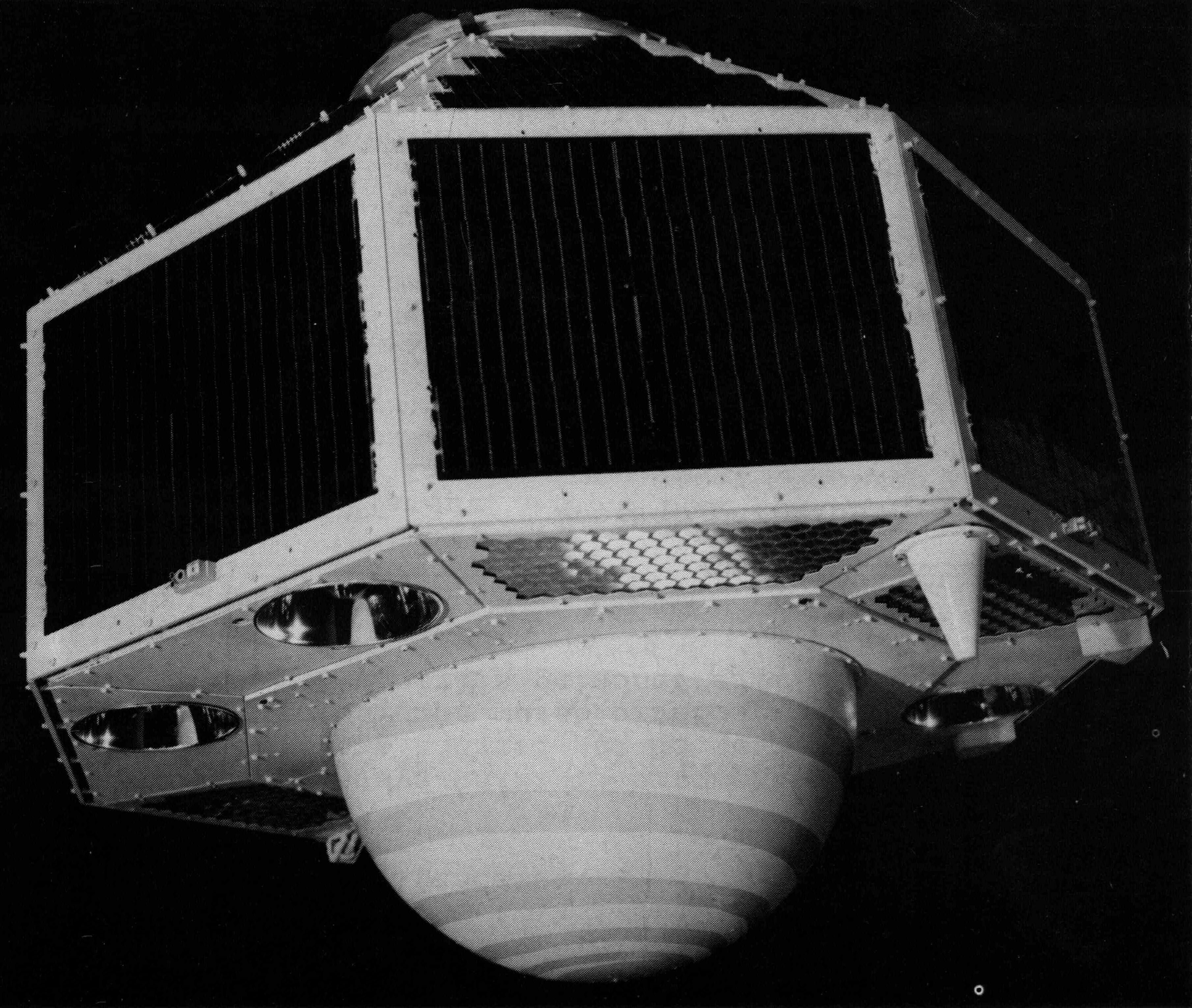
GEOS-2 International Optical Beacon Data Input V001 (GEOS2OBSINPUTINTL) at GES DISC
National Aeronautics and Space Administration —
GEOS2OBSINPUTINTL is the optical beacon system data product which contains reduced raw geodetic optical observations obtained by various international camera systems.... -
Federal
MetOp-B ASCAT Scatterometer Inter-Calibrated ESDR Level 2 Ocean Surface Equivalent Neutral Wind Vectors and Wind Stress Vectors Version 1.1
National Aeronautics and Space Administration —
This dataset contains ocean surface wind vectors (equivalent neutral and true 10m) and wind stress vectors derived from satellite-based scatterometer observations...

Official websites use .gov
A
.gov website belongs to an official government
organization in the United States.
Secure .gov websites use HTTPS
A
lock (
) or https:// means you’ve safely connected to
the .gov website. Share sensitive information only on official,
secure websites.