

11 datasets found for "Fresh Water"
-
State
Public Water Sources
Vermont Center for Geographic Information —
This GIS layer consists of the geographic location of active and inactive public (Community, non-transient non-community and transient non-community) water sources... -
Federal
Cyanobacteria Index (MERIS)
U.S. Environmental Protection Agency —
This dataset shows the concentration of cyanobacteria cells/ml in fresh water bodies and estuaries of the Ohio and Florida derived from 300x300 meter MEdium... -
State
Statewide Agricultural Water Use Data 2016-2020
State of California —
Descriptions Excel Application Tool for Statewide Agricultural Water Use Data 2016 - 2020 Department of water resources, Water Use Efficiency Branch, Water Use Unit... -
State
Agricultural Water Use Data 1998-2005
State of California —
Excel Application Tool for Agricultural Water Use Data 1998 - 2005 Department of water resources, Water Use Efficiency Branch, Water Use Unit program, has developed... -
State
VSWI Wetlands Advisory Layer
Vermont Center for Geographic Information —
This dataset represents the DEC Wetlands Program's Advisory layer. This layer makes the most up-to-date, non-jurisdictional, wetlands mapping avaiable to the public... -
State
Agricultural Water Use Data 2006-2010
State of California —
Excel Application Tool for Agricultural Water Use Data 2006 - 2010 Department of water resources, Water Use Efficiency Branch, Water Use Unit program, has developed... -
Federal
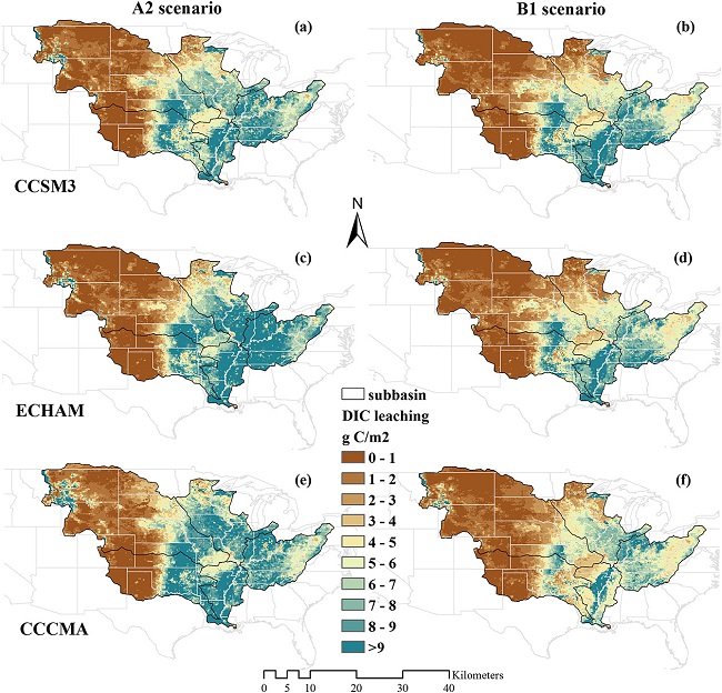
Export and Leaching of Carbon and Nitrogen from Mississippi River Basin, 1901-2099
National Aeronautics and Space Administration —
This dataset provides estimates for export and leaching of dissolved inorganic carbon (DIC), dissolved organic carbon (DIC), total organic carbon (TOC), particulate... -
State
Agricultural Water Use Data 2011-2015
State of California —
Excel Application Tool for Agricultural Water Use Data 2011 - 2015 Department of water resources, Water Use Efficiency Branch, Water Use Unit program, has developed... -
State
Outstanding Resource Waters (streams/rivers)
Vermont Center for Geographic Information —
Identification of currently designated ORWs as well as prospective candidates for possible designation at a later date. ORWs are designated by the Secretary of the... -
Federal
Maps, Models and Data from Southeastern Great Basin PFA
Department of Energy —
This submission includes composite risk segment models in raster format for permeability, heat of the earth, and MT, as well as the final PFA model of geothermal...
11 datasets found for "Fresh Water"