
-
Federal
Global Historical Climatology Network - Daily (GHCN-Daily), Version 2 (Version Superseded)
National Oceanic and Atmospheric Administration, Department of Commerce —
Please note, this dataset has been superseded by a newer version (see below). Users should not use this version except in rare cases (e.g., when reproducing previous... -
Federal
NOAA/WDS Paleoclimatology - Global Lake-Level Variations from 18,000 to 0 Years Ago: A Paleoclimatic Analysis
National Oceanic and Atmospheric Administration, Department of Commerce —
This archived Paleoclimatology Study is available from the NOAA National Centers for Environmental Information (NCEI), under the World Data Service (WDS) for... -
Federal
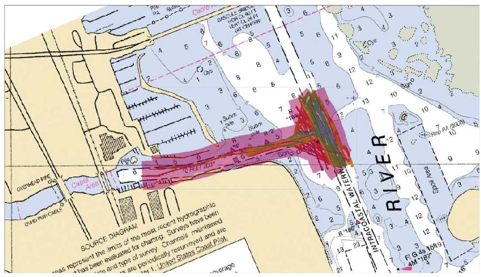
F00634: NOS Hydrographic Survey , 2013-06-04
National Oceanic and Atmospheric Administration, Department of Commerce —
The National Oceanic and Atmospheric Administration (NOAA) has the statutory mandate to collect hydrographic data in support of nautical chart compilation for safe... -
Federal
B00008: NOS Hydrographic Survey , 1984-11-09
National Oceanic and Atmospheric Administration, Department of Commerce —
The National Oceanic and Atmospheric Administration (NOAA) has the statutory mandate to collect hydrographic data in support of nautical chart compilation for safe... -
Federal
H11733: NOS Hydrographic Survey , Northern California Coast, California, 2007-04-01
National Oceanic and Atmospheric Administration, Department of Commerce —
The National Oceanic and Atmospheric Administration (NOAA) has the statutory mandate to collect hydrographic data in support of nautical chart compilation for safe... -
Federal
F00869: NOS Hydrographic Survey , 2022-10-04
National Oceanic and Atmospheric Administration, Department of Commerce —
The National Oceanic and Atmospheric Administration (NOAA) has the statutory mandate to collect hydrographic data in support of nautical chart compilation for safe... -
Federal
B00006: NOS Hydrographic Survey , 1984-11-05
National Oceanic and Atmospheric Administration, Department of Commerce —
The National Oceanic and Atmospheric Administration (NOAA) has the statutory mandate to collect hydrographic data in support of nautical chart compilation for safe... -
Federal
CO-OPS station 8725520: FORT MYERS, CALOOSAHATCHEE RIVER 1-minute Raw Tsunami Water Level Data
National Oceanic and Atmospheric Administration, Department of Commerce —
CO-OPS has been involved with tsunami warning and mitigation since the Coast and Geodetic Survey started the Tsunami Warning System in 1948 to provide warnings to the... -
Federal
National Status and Trends, Benthic Surveillance Project Chemistry Data, 1984-1992, National Centers for Coastal Ocean Science
National Oceanic and Atmospheric Administration, Department of Commerce —
The National Status and Trends (NSandT) Benthic Surveillance Project Chemistry data file reports the trace concentrations of a suite of chemical contaminants in... -
Federal
NOAA/WDS Paleoclimatology - Asmerom Y.,et al. 2010. Fort Stanton Cave, New Mexico 55-11kY Speleothem d18O Data.
National Oceanic and Atmospheric Administration, Department of Commerce —
This archived Paleoclimatology Study is available from the NOAA National Centers for Environmental Information (NCEI), under the World Data Service (WDS) for... -
Federal
Multibeam collection for RB0703: Multibeam data collected aboard NOAA Ship RONALD H. BROWN (R104) from 02-May-07 to 29-May-07, Bridgetown, Barbados to Fort Lauderdale, Florida
National Oceanic and Atmospheric Administration, Department of Commerce —
This data set is part of a larger set of data called the Multibeam Bathymetry Database (MBBDB) where other similar data can be found -
Federal
NOAA/WDS Paleoclimatology - Grissino-Mayer - Fort Grant Overlook - PISF - ITRDB AZ594
National Oceanic and Atmospheric Administration, Department of Commerce —
This archived Paleoclimatology Study is available from the NOAA National Centers for Environmental Information (NCEI), under the World Data Service (WDS) for... -
Federal
NOAA/WDS Paleoclimatology - Global speleothem oxygen isotope measurements since the Last Glacial Maximum
National Oceanic and Atmospheric Administration, Department of Commerce —
This archived Paleoclimatology Study is available from the NOAA National Centers for Environmental Information (NCEI), under the World Data Service (WDS) for... -
Federal
2020 C-CAP Land Cover of the Houston, Texas Region
National Oceanic and Atmospheric Administration, Department of Commerce —
The NOAA Coastal Change Analysis Program (C-CAP) produces national standardized land cover and change products for the coastal regions of the U.S. C-CAP products... -
Federal
B00009: NOS Hydrographic Survey , 1984-11-13
National Oceanic and Atmospheric Administration, Department of Commerce —
The National Oceanic and Atmospheric Administration (NOAA) has the statutory mandate to collect hydrographic data in support of nautical chart compilation for safe... -
Federal
Shoreline Data Rescue Project of Fort Bragg, CA40C01 NGDA
National Oceanic and Atmospheric Administration, Department of Commerce —
These data were automated to provide an accurate high-resolution historical shoreline of Fort Bragg suitable as a geographic information system (GIS) data layer.... -
Federal
Shoreline Mapping Program of Fort Pierce Harbor, FL, FL1707-CM-T NGDA
National Oceanic and Atmospheric Administration, Department of Commerce —
These data provide an accurate high-resolution shoreline compiled from imagery of Fort Pierce Harbor, FL . This vector shoreline data is based on an office... -
Federal
Shoreline Data Rescue Project of Vicinity of Fort Pierce Inlet, Florida, EC18A04 NGDA
National Oceanic and Atmospheric Administration, Department of Commerce —
These data were automated to provide an accurate high-resolution historical shoreline of Vicinity of Fort Pierce Inlet, Florida suitable as a geographic information... -
Federal
2022 NOAA NGS Pre-Hurricane Ian Topobathy Lidar: Naples to North Port, FL
National Oceanic and Atmospheric Administration, Department of Commerce —
These data were collected by NOAA using a Chiroptera system. The data were acquired from 20220204 through 20220516. The data include topobathy data in LAS 1.4 format... -
Federal
Central Florida 1/3 arc-second NAVD 88 Coastal Digital Elevation Model
National Oceanic and Atmospheric Administration, Department of Commerce —
NOAA's National Geophysical Data Center (NGDC) is building high-resolution digital elevation models (DEMs) for select U.S. coastal regions. These integrated...

Official websites use .gov
A
.gov website belongs to an official government
organization in the United States.
Secure .gov websites use HTTPS
A
lock (
) or https:// means you’ve safely connected to
the .gov website. Share sensitive information only on official,
secure websites.
.jpg)