

15 datasets found for "Food And Agriculture Organization (FAO)"
-
Federal
MODIS/Terra+Aqua Land Cover Type Yearly L3 Global 500m SIN Grid V061
National Aeronautics and Space Administration —
The Terra and Aqua combined Moderate Resolution Imaging Spectroradiometer (MODIS) Land Cover Type (MCD12Q1) Version 6.1 data product provides global land cover types... -
Federal
MODIS/Terra+Aqua Land Cover Type Yearly L3 Global 500m SIN Grid V006
National Aeronautics and Space Administration —
The MCD12Q1 Version 6 data product was decommissioned on July 31, 2023. Users are encouraged to use the MCD12Q1 Version 6.1 data product.The Terra and Aqua combined... -
Federal
Global Soil Profile Data (ISRIC-WISE)
National Aeronautics and Space Administration —
The International Soil Reference and Information Centre-World Inventory of Soil Emission Potentials (ISRIC-WISE) international soil profile data set consists of a... -
Federal
GEDI L4B Country-level Summaries of Aboveground Biomass
National Aeronautics and Space Administration —
This dataset provides country-level estimates of land surface mean aboveground biomass density (AGBD), total aboveground biomass (AGB) stocks, and the associated... -
Federal
VEMAP 1: U.S. Soil
National Aeronautics and Space Administration —
The Vegetation/Ecosystem Modeling and Analysis Project (VEMAP) is an ongoing multiinstitutional, international effort addressing the response of biogeography and... -
Federal
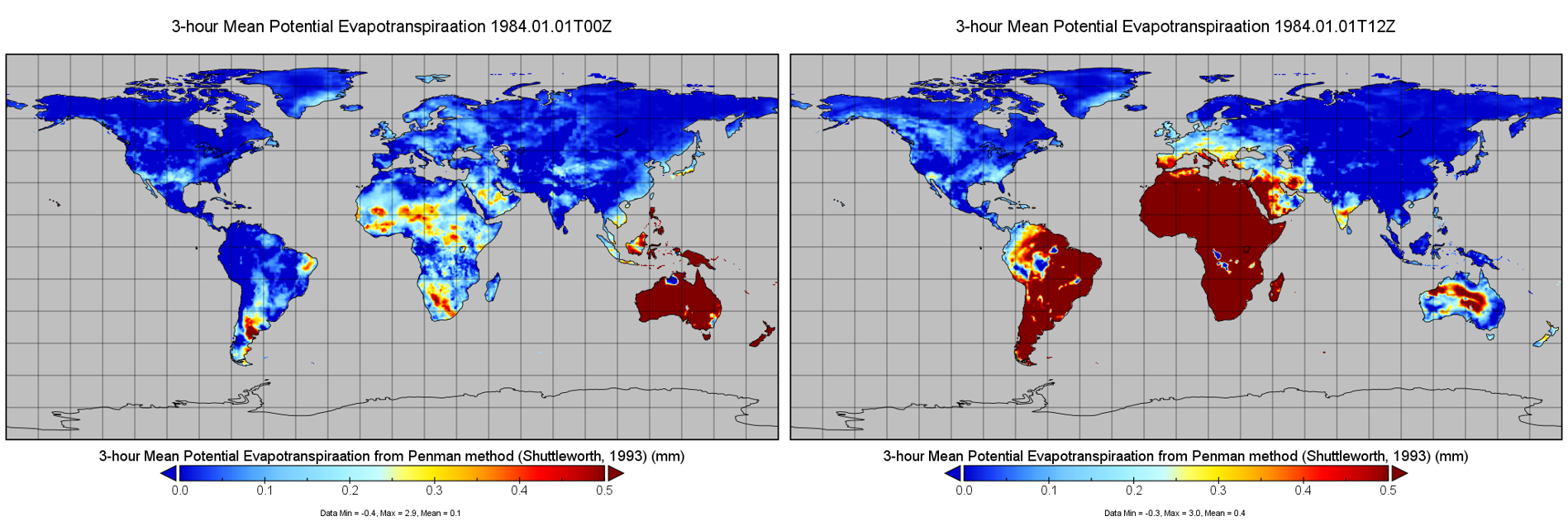
RM-OBS/PU Potential Evapotranspiration and Supporting Forcing L4 3-hourly 0.25x0.25 degree V001 (PET_PU_3H025) at GES DISC
National Aeronautics and Space Administration —
The Princeton University MEaSUREs Potential Evapotranspiration (PET) dataset provides a set of estimates of PET based on near surface meteorology and surface... -
Federal
SAFARI 2000 Wetlands Data Set, 1-Deg (Matthews and Fung)
National Aeronautics and Space Administration —
This database, compiled by Matthews and Fung (1987), provides information on the distribution and environmental characteristics of natural wetlands. The database was... -
Federal
SMEX04 Soil Characteristics Data: Sonora, Version 1
National Aeronautics and Space Administration —
Notice to Data Users: The documentation for this data set was provided solely by the Principal Investigator(s) and was not further developed, thoroughly reviewed, or... -
Federal
Global Hydrologic Soil Groups (HYSOGs250m) for Curve Number-Based Runoff Modeling
National Aeronautics and Space Administration —
This dataset - HYSOGs250m - represents a globally consistent, gridded dataset of hydrologic soil groups (HSGs) with a geographical resolution of 1/480 decimal... -
Federal
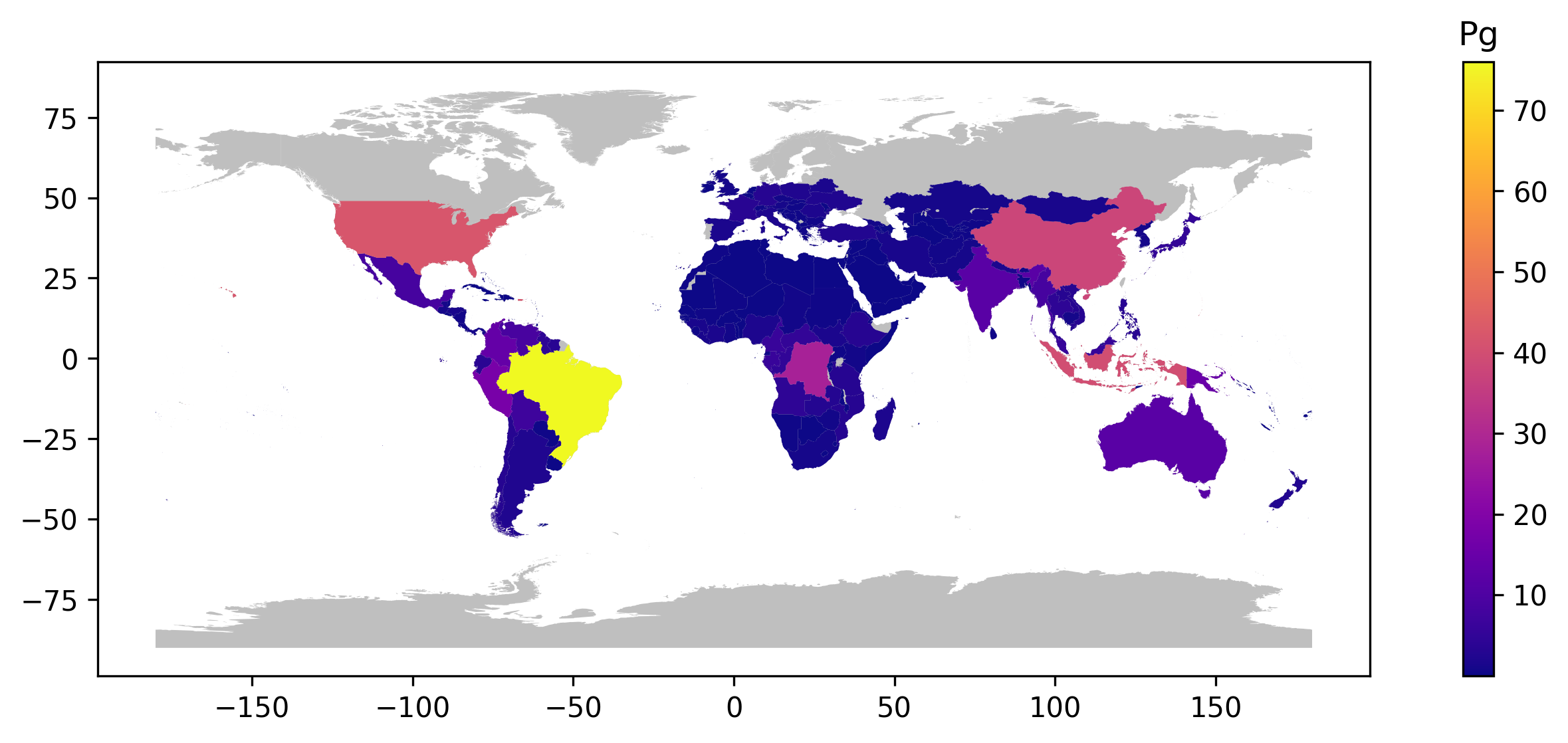
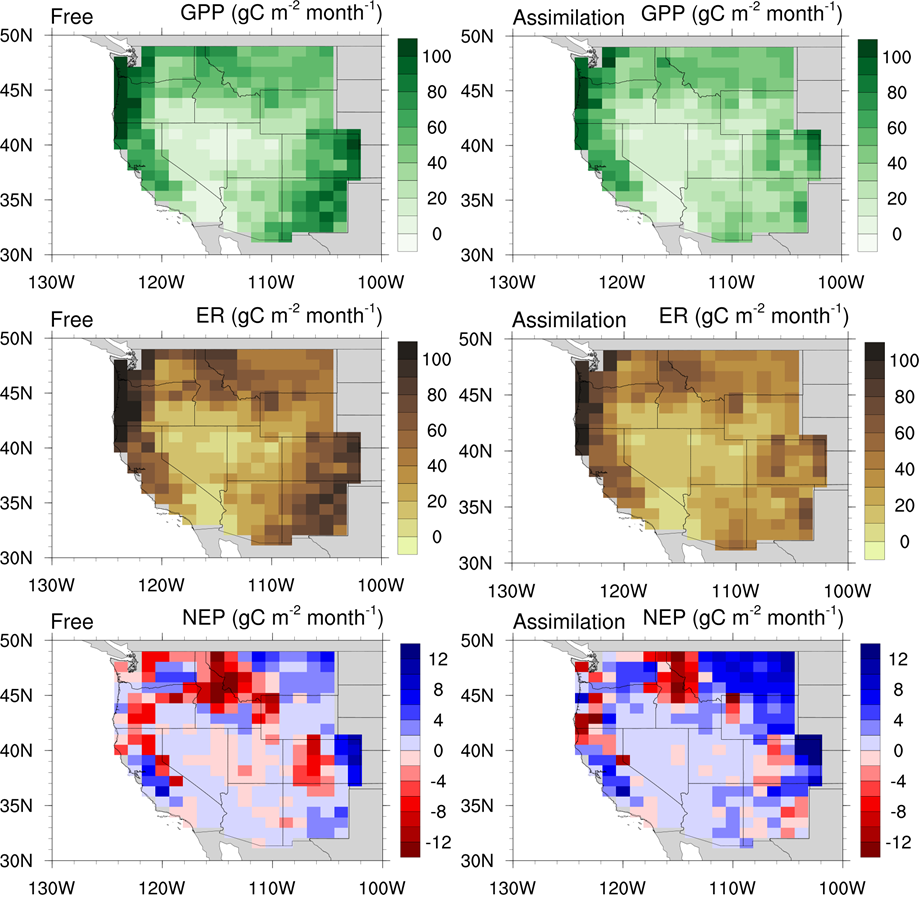
CMS: Global Carbon Fluxes Associated with Livestock Feed and Emissions, 2000-2013
National Aeronautics and Space Administration —
This data set provides global annual carbon flux estimates, at 0.05-degree resolution, associated with livestock feed intake, manure, manure management, respiration,... -
Federal
LBA Regional Wetlands Data Set, 1-Degree (Matthews and Fung)
National Aeronautics and Space Administration —
This database, compiled by Matthews and Fung (1987), provides information on the distribution and environmental characteristics of natural wetlands. The database was... -
Federal
LBA Regional Historical Croplands, 5-min, 1900-1992 (Ramankutty and Foley)
National Aeronautics and Space Administration —
This data set is a subset of a global croplands data set (Ramankutty and Foley 1999a). The subset was created for the study area of the Large Scale Biosphere-... -
Federal
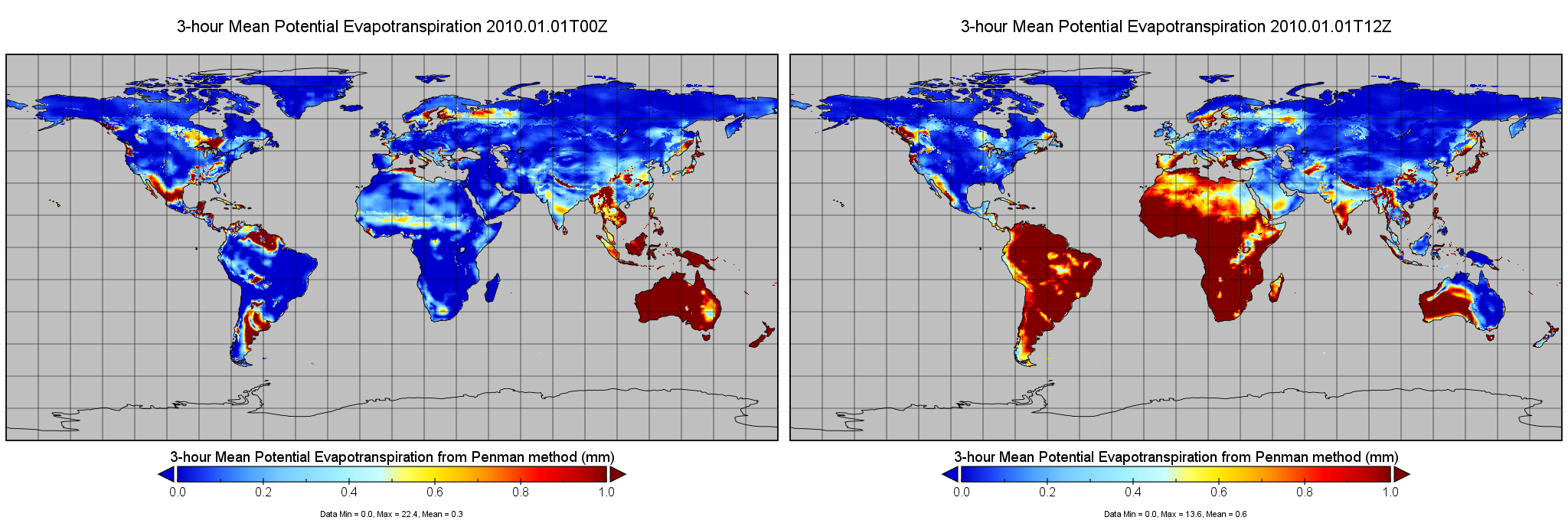
RM-OBS/PU Potential Evapotranspiration and Supporting Forcing L4 3-hourly 0.25x0.25 degree V002 (PET_PU_3H025) at GES DISC
National Aeronautics and Space Administration —
This is version 2 of Princeton University MEaSUREs Potential Evapotranspiration (PET) dataset, which provides a set of estimates of PET based on near surface... -
Federal
Global Distribution of Plant-Extractable Water Capacity of Soil (Dunne)
National Aeronautics and Space Administration —
Plant-extractable water capacity of soil is the amount of water that can be extracted from the soil to fulfill evapotranspiration demands. It is often assumed to be...
15 datasets found for "Food And Agriculture Organization (FAO)"