
-
Federal
EMAG2v3: Earth Magnetic Anomaly Grid (2-arc-minute resolution)
National Oceanic and Atmospheric Administration, Department of Commerce —
EMAG2v3 is a global Earth Magnetic Anomaly Grid compiled from satellite, ship, and airborne magnetic measurements. It is a significant update of the previous release... -
State
2019 California Water Quality Status Report
State of California —
The California Water Quality Status Report is an annual data-driven snapshot of the Water Board’s water quality and ecosystem data. This third edition of the report... -
State
Migratory Waterfowl
State of Connecticut —
Migratory Waterfowl is a 1:24,000-scale, polygon feature-based layer that depicts the concentration areas of migratory waterfowl at specific locations within... -
State
CoastalZone
State of California —
This is a spatial depiction of the California Coastal Zone as defined by the California Coastal Commission. For more information, please see... -
State
Use of Estuarine, Intertidal, and Subtidal Habitats by Seabirds, California South Coast MPA Baseline Study, 2011 to 2013
State of California —
Seabirds are long-lived, upper trophic level predators that are integral components of marine ecosystems. During the breeding season, seabirds are central place... -
Federal
VMS All Fisheries 2010-2017 (BOEM)
Department of the Interior —
2010-2017 Vessel Monitoring System (VMS) data were used from the NOAA Office of Law Enforcement to create this fishing effort dataset for the U.S. West Coast. The... -
Federal
VMS Dungeness Crab 2010-2017 (BOEM)
Department of the Interior —
2010-2017 Vessel Monitoring System (VMS) data were used from the NOAA Office of Law Enforcement to create this fishing effort dataset for the U.S. West Coast. The... -
Federal
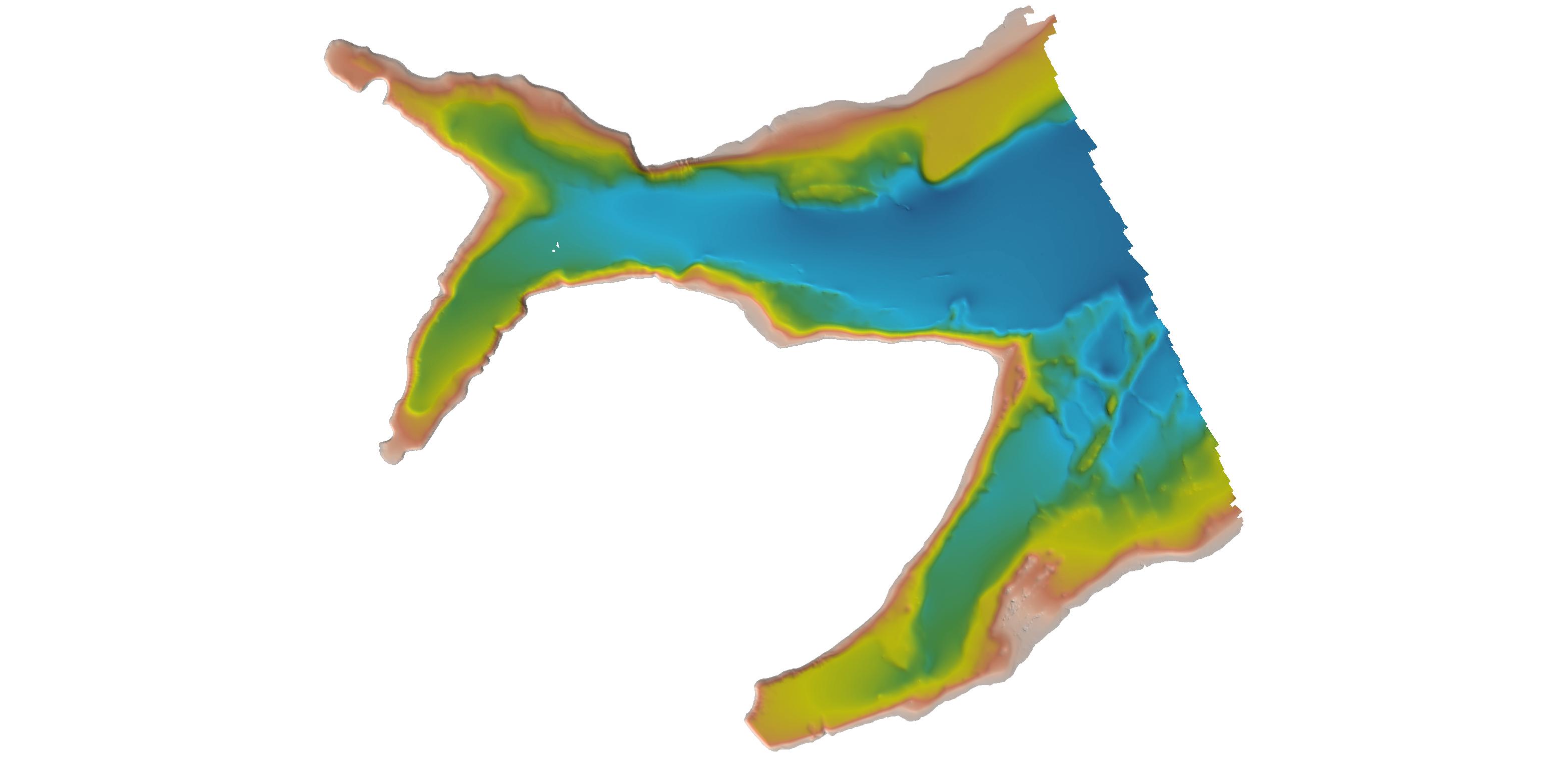
H09366: NOS Hydrographic Survey , Vicinity of Jacksonville, Florida, 1973-10-05
National Oceanic and Atmospheric Administration, Department of Commerce —
The National Oceanic and Atmospheric Administration (NOAA) has the statutory mandate to collect hydrographic data in support of nautical chart compilation for safe... -
Federal
H11341A: NOS Hydrographic Survey , 2004-05-27
National Oceanic and Atmospheric Administration, Department of Commerce —
The National Oceanic and Atmospheric Administration (NOAA) has the statutory mandate to collect hydrographic data in support of nautical chart compilation for safe... -
Federal
H02715A: NOS Hydrographic Survey , 1905-12-31
National Oceanic and Atmospheric Administration, Department of Commerce —
The National Oceanic and Atmospheric Administration (NOAA) has the statutory mandate to collect hydrographic data in support of nautical chart compilation for safe... -
Federal
H10701: NOS Hydrographic Survey , Southwest Alaska Peninsula. Alaska, 1996-08-03
National Oceanic and Atmospheric Administration, Department of Commerce —
The National Oceanic and Atmospheric Administration (NOAA) has the statutory mandate to collect hydrographic data in support of nautical chart compilation for safe... -
State
Eelgrass Beds 93-95 Potential Polygon
State of Connecticut —
Eelgrass Beds 93-95 Set: Eelgrass Sample Points is a 1:24,000-scale, point feature-based layer that depicts the locations where eelgrass (Zostera marina) was either... -
Federal
H02971: NOS Hydrographic Survey , 1908-12-31
National Oceanic and Atmospheric Administration, Department of Commerce —
The National Oceanic and Atmospheric Administration (NOAA) has the statutory mandate to collect hydrographic data in support of nautical chart compilation for safe... -
Federal
H07014: NOS Hydrographic Survey , 1944-12-31
National Oceanic and Atmospheric Administration, Department of Commerce —
The National Oceanic and Atmospheric Administration (NOAA) has the statutory mandate to collect hydrographic data in support of nautical chart compilation for safe... -
Federal
H11195: NOS Hydrographic Survey , Southwest Alaska Peninsula, Alaska, 2003-06-06
National Oceanic and Atmospheric Administration, Department of Commerce —
The National Oceanic and Atmospheric Administration (NOAA) has the statutory mandate to collect hydrographic data in support of nautical chart compilation for safe... -
Federal
H07626: NOS Hydrographic Survey , 1948-12-31
National Oceanic and Atmospheric Administration, Department of Commerce —
The National Oceanic and Atmospheric Administration (NOAA) has the statutory mandate to collect hydrographic data in support of nautical chart compilation for safe... -
Federal
H04968: NOS Hydrographic Survey , 1929-12-31
National Oceanic and Atmospheric Administration, Department of Commerce —
The National Oceanic and Atmospheric Administration (NOAA) has the statutory mandate to collect hydrographic data in support of nautical chart compilation for safe... -
State
Salt Water Limit
State of Connecticut —
Salt Water Limit is a 1:24000-scale, line feature-based layer that depicts the approximate salt water limits of watercourses and embayments in coastal Connecticut. It... -
Federal
Evaluation of a Wave Powered Water Pump Performance by Ocean Field Testing and WEC-Sim Modeling
Department of Energy —
This submission from AMEC (the Atlantic Marine Energy Center) includes data from an ocean field deployment of a wave powered water pump in March 2023. The wave pump... -
Federal
H06937: NOS Hydrographic Survey , 1944-12-31
National Oceanic and Atmospheric Administration, Department of Commerce —
The National Oceanic and Atmospheric Administration (NOAA) has the statutory mandate to collect hydrographic data in support of nautical chart compilation for safe...

Official websites use .gov
A
.gov website belongs to an official government
organization in the United States.
Secure .gov websites use HTTPS
A
lock (
) or https:// means you’ve safely connected to
the .gov website. Share sensitive information only on official,
secure websites.
.jpg)
.jpg)
.jpg)
.jpg)