
-
County
LEGO Diorama Images
Allegheny County / City of Pittsburgh / Western PA Regional Data Center —
We often create dioramas from LEGO bricks for use with our presentations, blogs, and social media posts. We find it's much more fun and effective to reenact meetings... -
Federal
Poverty Mapping Project: Poverty and Food Security Case Studies
National Aeronautics and Space Administration —
The Poverty Mapping Project: Poverty and Food Security Case Studies data set consists of small area estimates of poverty, inequality, food security and related... -
Federal
MODIS/Terra+Aqua Land Cover Type Yearly L3 Global 500m SIN Grid V061
National Aeronautics and Space Administration —
The Terra and Aqua combined Moderate Resolution Imaging Spectroradiometer (MODIS) Land Cover Type (MCD12Q1) Version 6.1 data product provides global land cover types... -
Federal
China Dimensions Data Collection: China Administrative Regions GIS Data: 1:1M, County Level, 1990
National Aeronautics and Space Administration —
The China Administrative Regions GIS Data: 1:1M, County Level, 1990 consists of geographic boundary data for the administrative regions of China as of 31 December... -
Federal
Boundary of the North Cascades National Park Service Complex, Washington, nbndry_g2.shp
Department of the Interior —
ArcGIS shapefile polygons showing the location of the Park boundary as well as administrative unit boundaries (Ross Lake and Lake Chelan National Recreation Areas)... -
Federal
Soil erosion and organic matter for central Great Plains cropping systems under residue removal
Department of Agriculture —
This study examined average annual changes in soil erosion from rainfall and wind forces, and trends in soil organic carbon (SOC). The diversity of geo-climatic land... -
Federal
F00491: NOS Hydrographic Survey , Taunton River, Massachusetts, 2002-08-12
National Oceanic and Atmospheric Administration, Department of Commerce —
The National Oceanic and Atmospheric Administration (NOAA) has the statutory mandate to collect hydrographic data in support of nautical chart compilation for safe... -
Federal
H12829: NOS Hydrographic Survey , 2015-08-12
National Oceanic and Atmospheric Administration, Department of Commerce —
The National Oceanic and Atmospheric Administration (NOAA) has the statutory mandate to collect hydrographic data in support of nautical chart compilation for safe... -
Federal
Pantropical Forest Height and Biomass from GEDI and TanDEM-X Data Fusion
National Aeronautics and Space Administration —
This dataset includes maps of canopy height and aboveground biomass at spatial resolutions of 25 m and 100 m for Mexico, Gabon, French Guiana, and the Amazon Basin.... -
Federal
H12305: NOS Hydrographic Survey , Central Chesapeake Bay, 2013-12-10
National Oceanic and Atmospheric Administration, Department of Commerce —
The National Oceanic and Atmospheric Administration (NOAA) has the statutory mandate to collect hydrographic data in support of nautical chart compilation for safe... -
Federal
MLS/Aura Near-Real-Time L2 Water Vapor (H2O) Mixing Ratio V005 (ML2H2O_NRT) at GES DISC
National Aeronautics and Space Administration —
ML2H2O_NRT is the EOS Aura Microwave Limb Sounder (MLS) Near-Real-Time (NRT) product for water vapor (H2O). This product contains H2O profiles derived from the 190... -
Federal
CAR INTEX-B Long-range Pollution Transportation L1 V1 (CAR_INTEXB_L1C) at GES DISC
National Aeronautics and Space Administration —
INTEX-B (Intercontinental Chemical Transport Experiment-Phase B) focuses on the long-range transport of pollution, global atmospheric photochemistry, and the effects... -
Federal
F00508: NOS Hydrographic Survey , Wildcat Knoll Mapping Project, Massachusetts, 2005-08-08
National Oceanic and Atmospheric Administration, Department of Commerce —
The National Oceanic and Atmospheric Administration (NOAA) has the statutory mandate to collect hydrographic data in support of nautical chart compilation for safe... -
Federal
H11801: NOS Hydrographic Survey , Oak Harbor to Saratoga Passage, Washington, 2009-02-18
National Oceanic and Atmospheric Administration, Department of Commerce —
The National Oceanic and Atmospheric Administration (NOAA) has the statutory mandate to collect hydrographic data in support of nautical chart compilation for safe... -
Federal
H11830: NOS Hydrographic Survey , Gulf of Mexico, 2009-09-30
National Oceanic and Atmospheric Administration, Department of Commerce —
The National Oceanic and Atmospheric Administration (NOAA) has the statutory mandate to collect hydrographic data in support of nautical chart compilation for safe... -
Federal
Vegetation Index and Phenology (VIP) Phenology EVI-2 Yearly Global 0.05Deg CMG V004
National Aeronautics and Space Administration —
The NASA Making Earth System Data Records for Use in Research Environments (MEaSUREs) Vegetation Index and Phenology (VIP) global datasets were created using surface... -
Federal
OCO-3 Level 2 CO2 prior based on CO2 monthly flask record, global meteorology, and age of air, Forward Processing V11 (OCO3_L2_CO2Prior) at GES DISC
National Aeronautics and Space Administration —
Version 11 is the current version of the data set. Older versions will no longer be available and are superseded by Version 11. The Orbiting Carbon Observatory -3... -
Federal
Images
National Aeronautics and Space Administration —
Images for the website main pages and all configurations. The upload and access points for the other images are: Website Template RSW images BSCW Images HIRENASD Images -
Federal
H13384: NOS Hydrographic Survey , 2021-03-10
National Oceanic and Atmospheric Administration, Department of Commerce —
The National Oceanic and Atmospheric Administration (NOAA) has the statutory mandate to collect hydrographic data in support of nautical chart compilation for safe... -
Federal
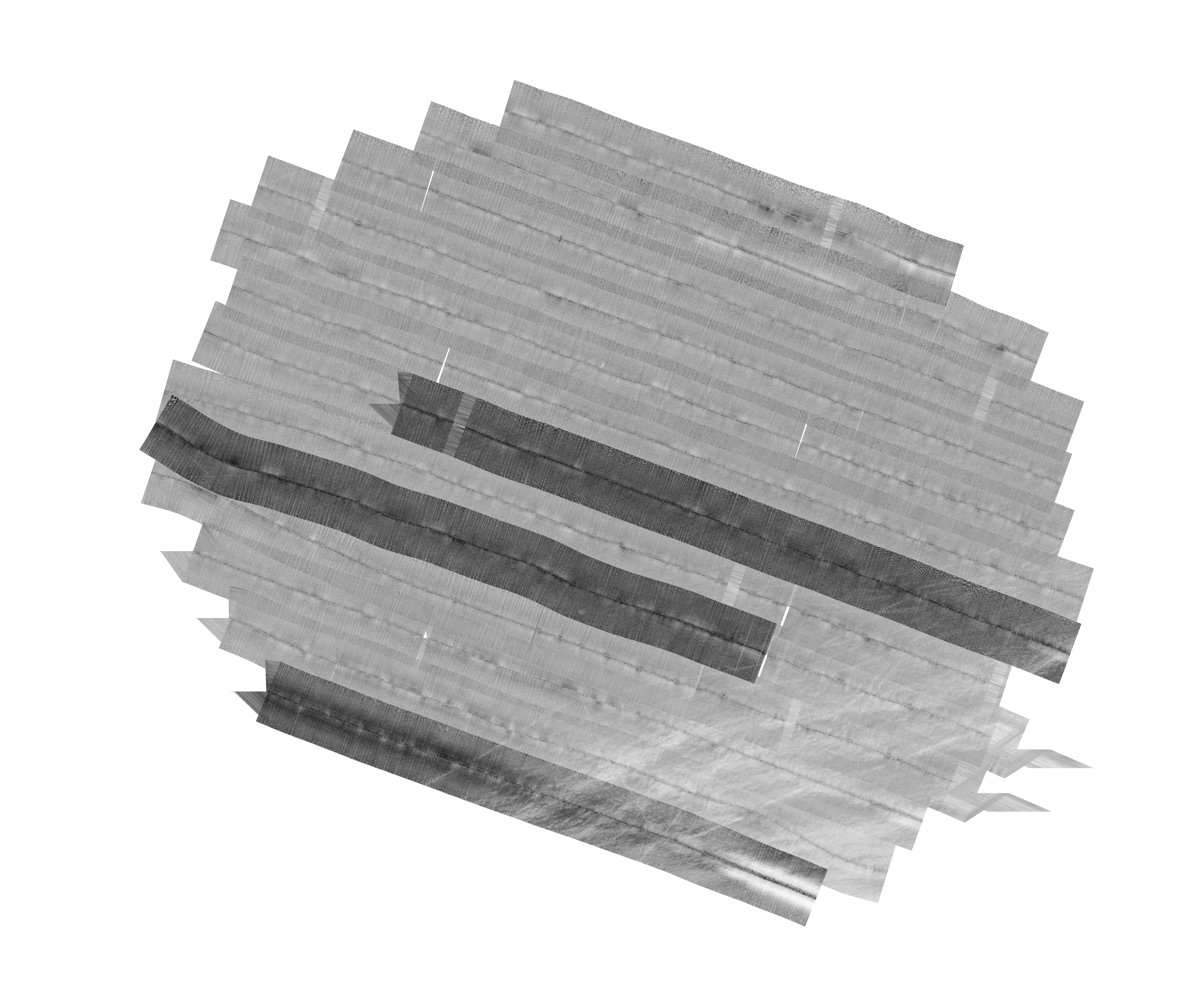
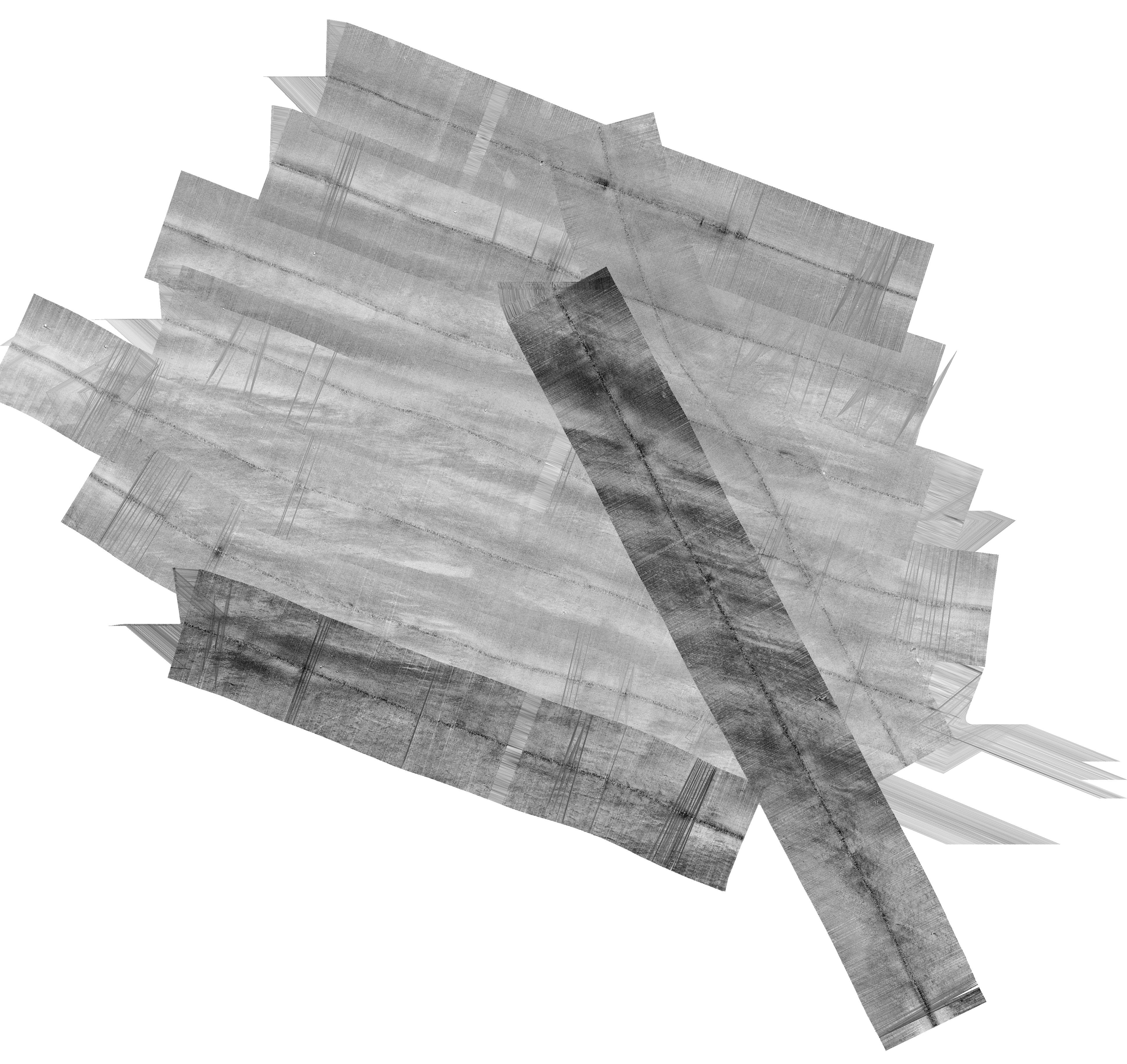
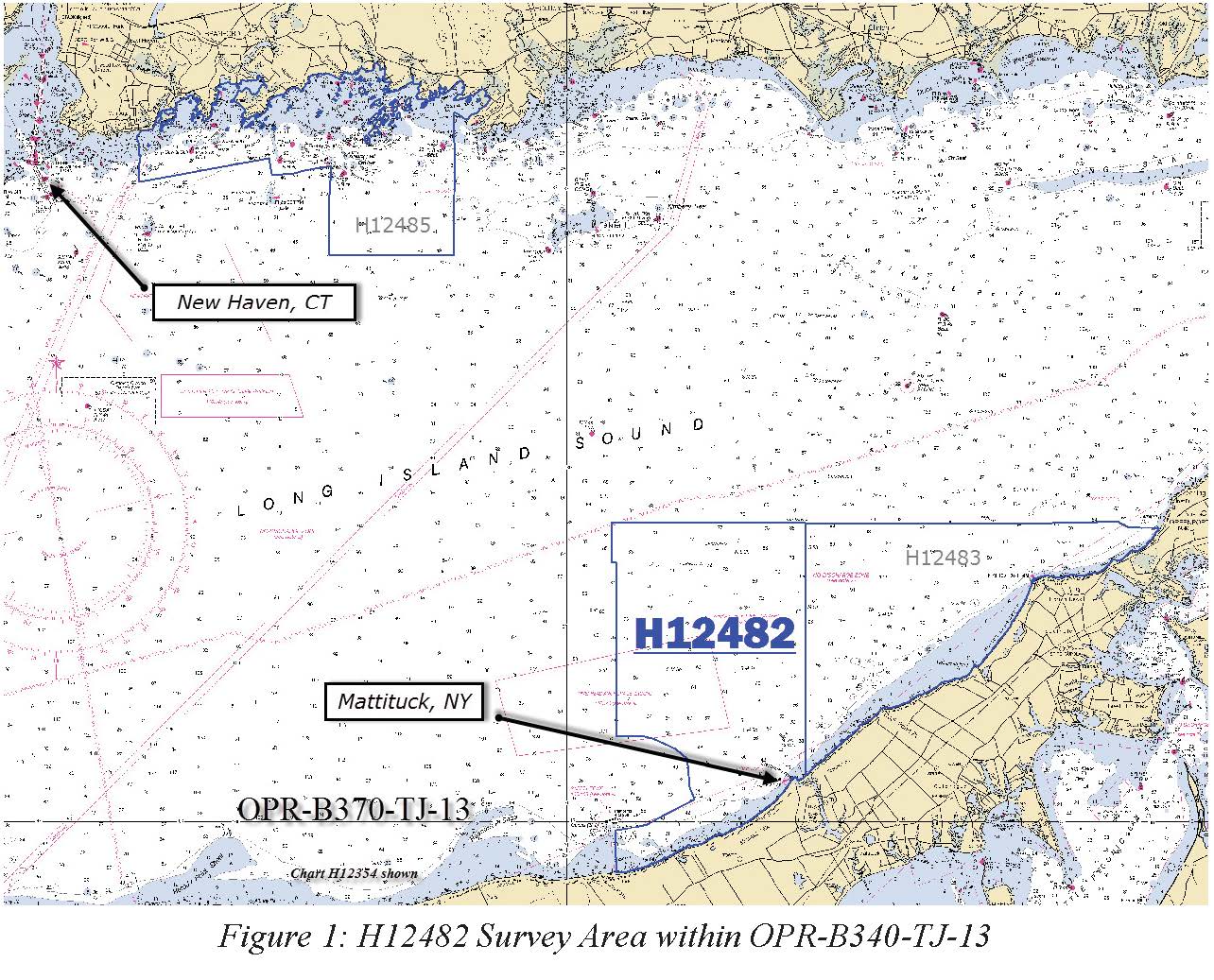
H12482: NOS Hydrographic Survey , Eastern Long Island Sound, 2013-04-20
National Oceanic and Atmospheric Administration, Department of Commerce —
The National Oceanic and Atmospheric Administration (NOAA) has the statutory mandate to collect hydrographic data in support of nautical chart compilation for safe...

Official websites use .gov
A
.gov website belongs to an official government
organization in the United States.
Secure .gov websites use HTTPS
A
lock (
) or https:// means you’ve safely connected to
the .gov website. Share sensitive information only on official,
secure websites.
.jpg)
.jpg)