
-
Federal
CYGNSS Level 3 MRG Science Data Record Near Real Time Version 3.2.1 recent views
National Aeronautics and Space Administration —
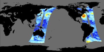
This dataset contains the version 3.2.1 CYGNSS Level 3 Merged (MRG) Science Data Record Near Real Time (NRT) Storm Wind Speed derived from the Delay Doppler Mapping... -
Federal
CoSMoS (Coastal Storm Modeling System) Central California v3.1 flood-hazard projections: 20-year storm in San Francisco County recent views
Department of the Interior —
This data contains geographic extents of projected coastal flooding, low-lying vulnerable areas, and maximum/minimum flood potential (flood uncertainty) associated... -
Federal
CYGNSS Level 3 MRG Science Data Record Version 3.2.1 recent views
National Aeronautics and Space Administration —
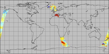
This dataset contains the version 3.2.1 CYGNSS level 3 science data record merged storm (MRG) wind speed which combines CYGNSS storm-centric gridded (SCG) wind... -
Federal
SENTINEL-1A_SINGLE_POL_GRD_FULL_RES recent views
National Aeronautics and Space Administration —
Sentinel-1A Single-pol ground range detected full resolution images -
Federal
Aquarius CAP Level 3 Wind Speed Standard Mapped Image 7-Day Data V5.0 recent views
National Aeronautics and Space Administration —
Version 5.0 Aquarius CAP Level 3 products are the fourth release of the AQUARIUS/SAC-D mapped salinity and wind speed data based on the Combined Active Passive (CAP)... -
Federal
Aquarius Official Release Level 3 Wind Speed Standard Mapped Image Seasonal Data V5.0 recent views
National Aeronautics and Space Administration —
Aquarius Level 3 ocean surface wind speed standard mapped image data contains gridded 1 degree spatial resolution wind speed data averaged over daily, 7 day, monthly,... -
Federal
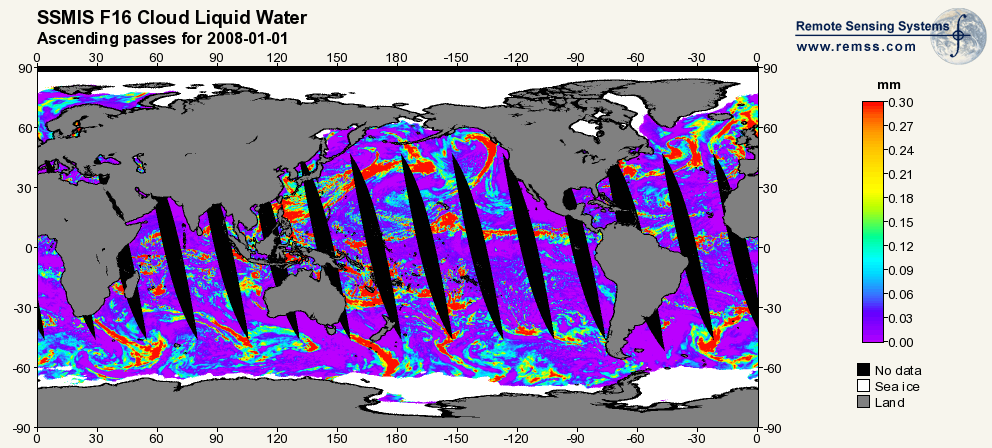
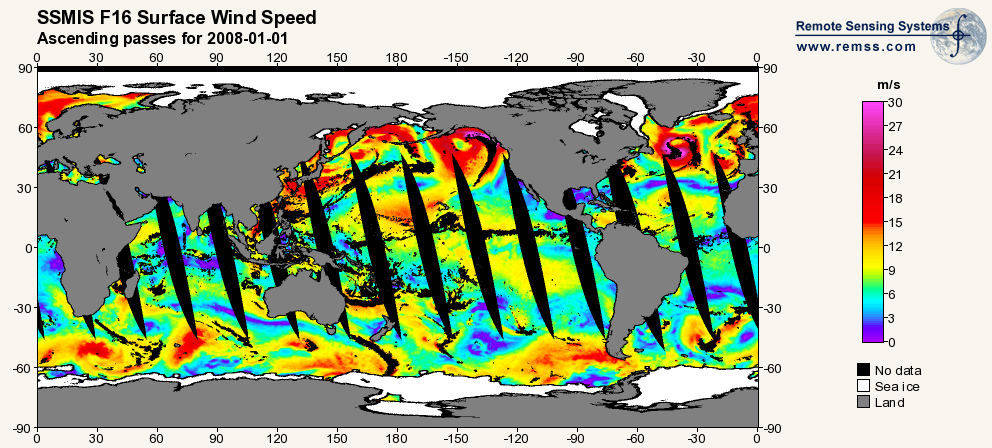
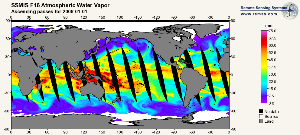
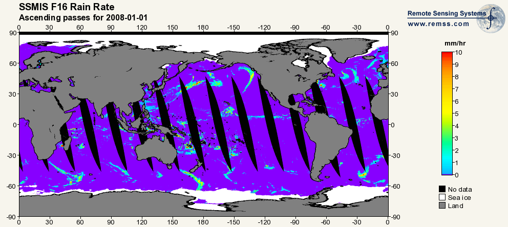
RSS SSMIS OCEAN PRODUCT GRIDS DAILY FROM DMSP F16 NETCDF V7 recent views
National Aeronautics and Space Administration —
The RSS SSMIS Ocean Product Grids Daily from DMSP F16 netCDF dataset is part of the collection of Special Sensor Microwave/Imager (SSM/I) and Special Sensor Microwave... -
Federal
CoSMoS (Coastal Storm Modeling System) Central California v3.1 water-level projections: 100-year storm in Monterey County recent views
Department of the Interior —
This data contains model-derived total water elevation (in meters) for the sea-level rise (SLR) and storm condition indicated. The Coastal Storm Modeling System... -
Federal
CoSMoS (Coastal Storm Modeling System) Central California v3.1 flood depth and duration projections: average conditions in Monterey County recent views
Department of the Interior —
This data contains maximum depth of flooding (cm) in the region landward of the present-day shoreline for the sea-level rise (SLR) and storm condition indicated. The... -
Federal
CoSMoS (Coastal Storm Modeling System) Southern California v3.0 Phase 2 flood-hazard projections: 1-year storm in Santa Barbara County recent views
Department of the Interior —
Geographic extent of projected coastal flooding, low-lying vulnerable areas, and maxium/minimum flood potential (flood uncertainty) associated with the sea-level rise... -
Federal
CoSMoS (Coastal Storm Modeling System) Central California v3.1 ocean-currents projections: 20-year storm in Monterey County recent views
Department of the Interior —
This data contains maximum model-derived ocean currents (in meters per second) for the sea-level rise (SLR) and storm condition indicated. The Coastal Storm Modeling... -
Federal
CoSMoS (Coastal Storm Modeling System) Central California v3.1 flood-hazard projections: average conditions in San Mateo County recent views
Department of the Interior —
This data contains geographic extents of projected coastal flooding, low-lying vulnerable areas, and maximum/minimum flood potential (flood uncertainty) associated... -
Federal
RapidScat Level 2B Climate Ocean Wind Vectors in 12.5km Footprints Version 2.0 recent views
National Aeronautics and Space Administration —
This dataset contains the RapidScat Level 2B 12.5km Version 2.0 Climate quality ocean surface wind vectors. The Level 2B wind vectors are binned on a 12.5 km Wind... -
Federal
Oceansat-2 Scatterometer Level 2B Ocean Wind Vectors in 12.5km Slice Composites Version 2 recent views
National Aeronautics and Space Administration —
This dataset consists of the version 2 Level 2B science-quality ocean surface wind vector retrievals from the Oceansat-2 scatterometer (OSCAT), which was designed and... -
Federal
Projections of coastal flood depths for the U.S. Atlantic coast recent views
Department of the Interior —
Projected depths from compound coastal flood hazards for future sea-level rise (SLR) and storm scenarios are shown for the U.S. Atlantic coast for three states... -
Federal
CoSMoS (Coastal Storm Modeling System) Southern California v3.0 Phase 2 flood-hazard projections: average conditions in Los Angeles County recent views
Department of the Interior —
Projected Hazard: Geographic extent of projected coastal flooding, low-lying vulnerable areas, and maxium/minimum flood potential (flood uncertainty) associated with... -
Federal
JPL SMAP Level 2B CAP Sea Surface Salinity V5.0 Validated Dataset recent views
National Aeronautics and Space Administration —
This is the PI-produced JPL SMAP-SSS V5.0, level 2B CAP, validated sea surface salinity (SSS) and extreme winds orbital/swath product from the NASA Soil Moisture... -
Federal
SENTINEL-1A_SLC recent views
National Aeronautics and Space Administration —
Sentinel-1A slant-range product -
Federal
Aquarius Official Release Level 3 Wind Speed Standard Mapped Image Ascending Monthly Data V5.0 recent views
National Aeronautics and Space Administration —
Aquarius Level 3 ocean surface wind speed standard mapped image data contains gridded 1 degree spatial resolution wind speed data averaged over daily, 7 day, monthly,... -
Federal
Aquarius Official Release Level 3 Wind Speed Standard Mapped Image Monthly Data V5.0 recent views
National Aeronautics and Space Administration —
Aquarius Level 3 ocean surface wind speed standard mapped image data contains gridded 1 degree spatial resolution wind speed data averaged over daily, 7 day, monthly,...

Official websites use .gov
A
.gov website belongs to an official government
organization in the United States.
Secure .gov websites use HTTPS
A
lock (
) or https:// means you’ve safely connected to
the .gov website. Share sensitive information only on official,
secure websites.