
-
County
Redlining Maps from the Home Owners Loan Corporation, 1937
Allegheny County / City of Pittsburgh / Western PA Regional Data Center —
Most of the text in this description originally appeared on the Mapping Inequality Website. Robert K. Nelson, LaDale Winling, Richard Marciano, Nathan Connolly, et... -
Federal
Large Scale International Boundaries NGDA
Department of State —
Overview The Office of the Geographer and Global Issues at the U.S. Department of State produces the Large Scale International Boundaries (LSIB) dataset. The current... -
Federal
EMAG2: Earth Magnetic Anomaly Grid (2-arc-minute resolution)
National Oceanic and Atmospheric Administration, Department of Commerce —
EMAG2 is a global Earth Magnetic Anomaly Grid compiled from satellite, ship, and airborne magnetic measurements. It is a significant update of our previous candidate... -
Federal
Georeferenced Population Datasets of Mexico (GEO-MEX): GIS of Mexican States, Municipalities and Islands
National Aeronautics and Space Administration —
The GIS of Mexican States, Municipalities and Islands consists of attribute and boundary data for 1990. The attribute data include population, language, education,... -
Federal
2023 National Offshore Wind data set (NOW-23)
Department of Energy —
The 2023 National Offshore Wind data set (NOW-23) is the latest wind resource data set for offshore regions in the United States, which supersedes, for its offshore... -
Federal
Data from: Non-native scale insects (Hemiptera: Coccomorpha) of the United States and their impact on U.S. agriculture
Department of Agriculture —
Supplementary data files, figures, tables, and a list of R code used in analyses. These data, figures, and tables relate to the article entitled "Non-native scale... -
Federal
Georeferenced U.S. County-Level Population Projections, Total and by Sex, Race and Age, Based on the SSPs, 2020-2100
National Aeronautics and Space Administration —
The Georeferenced U.S. County-Level Population Projections, Total and by Sex, Race and Age, Based on the SSPs, 2020-2100 consists of county-level population... -
Federal
Daily and Annual PM2.5 Concentrations for the Contiguous United States, 1-km Grids, v1 (2000 - 2016)
National Aeronautics and Space Administration —
The Daily and Annual PM2.5 Concentrations for the Contiguous United States, 1-km Grids, v1 (2000 - 2016) data set includes predictions of PM2.5 concentrations in grid... -
Federal
Predicted Habitat Suitability for Leptoseris in the Au'au Channel Region
National Oceanic and Atmospheric Administration, Department of Commerce —
This raster denotes predicted habitat suitability for Leptoseris in the Au'au Channel region. Maximum Entropy (MaxEnt) modeling software was used to create this... -
Federal
Boundary of the North Cascades National Park Service Complex, Washington, nbndry_g2.shp
Department of the Interior —
ArcGIS shapefile polygons showing the location of the Park boundary as well as administrative unit boundaries (Ross Lake and Lake Chelan National Recreation Areas)... -
Federal
H11600: NOS Hydrographic Survey , New York Harbor and Approaches, New York and New Jersey, 2006-10-09
National Oceanic and Atmospheric Administration, Department of Commerce —
The National Oceanic and Atmospheric Administration (NOAA) has the statutory mandate to collect hydrographic data in support of nautical chart compilation for safe... -
Federal
H12117: NOS Hydrographic Survey , Miami to Port Everglades, Florida, 2008-08-24
National Oceanic and Atmospheric Administration, Department of Commerce —
The National Oceanic and Atmospheric Administration (NOAA) has the statutory mandate to collect hydrographic data in support of nautical chart compilation for safe... -
Federal
Global Monthly and Seasonal Urban and Land Backscatter Time Series, 1993-2020
National Aeronautics and Space Administration —
The Global Monthly and Seasonal Urban and Land Backscatter Time Series, 1993-2020, is a multi-sensor, multi-decadal, data set of global microwave backscatter, for... -
Federal
H13331: NOS Hydrographic Survey , 2019-10-17
National Oceanic and Atmospheric Administration, Department of Commerce —
The National Oceanic and Atmospheric Administration (NOAA) has the statutory mandate to collect hydrographic data in support of nautical chart compilation for safe... -
Federal
H11341A: NOS Hydrographic Survey , 2004-05-27
National Oceanic and Atmospheric Administration, Department of Commerce —
The National Oceanic and Atmospheric Administration (NOAA) has the statutory mandate to collect hydrographic data in support of nautical chart compilation for safe... -
Federal
Global Historical Climatology Network, 1753-1990
National Aeronautics and Space Administration —
This data set contains monthly temperature, precipitation, sea-level pressure, and station-pressure data for thousands of meteorological stations worldwide. The... -
Federal
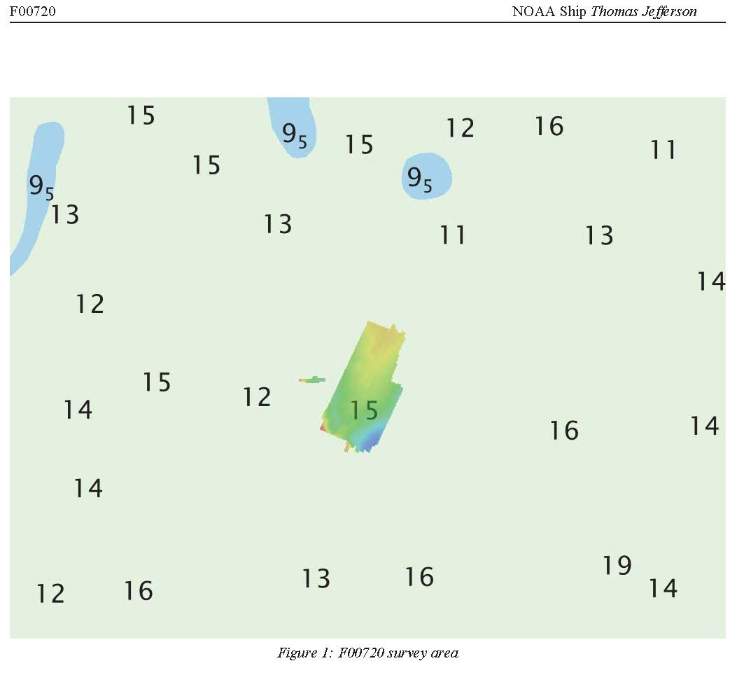
F00720: NOS Hydrographic Survey , 2018-05-01
National Oceanic and Atmospheric Administration, Department of Commerce —
The National Oceanic and Atmospheric Administration (NOAA) has the statutory mandate to collect hydrographic data in support of nautical chart compilation for safe... -
Federal
H12143: NOS Hydrographic Survey , Northern Glacier Bay, Alaska, 2009-11-06
National Oceanic and Atmospheric Administration, Department of Commerce —
The National Oceanic and Atmospheric Administration (NOAA) has the statutory mandate to collect hydrographic data in support of nautical chart compilation for safe... -
Federal
H10701: NOS Hydrographic Survey , Southwest Alaska Peninsula. Alaska, 1996-08-03
National Oceanic and Atmospheric Administration, Department of Commerce —
The National Oceanic and Atmospheric Administration (NOAA) has the statutory mandate to collect hydrographic data in support of nautical chart compilation for safe...

Official websites use .gov
A
.gov website belongs to an official government
organization in the United States.
Secure .gov websites use HTTPS
A
lock (
) or https:// means you’ve safely connected to
the .gov website. Share sensitive information only on official,
secure websites.
.jpg)
.jpg)
.jpg)
.jpg)
.jpg)