

11 datasets found for "k297(自适应手机端)响应式通信电力金融医疗科技类网站pbootcms模板黑色智能医疗设备✅项目合作 二开均可 TG:saolei44✅.KQJvCOgjMuOZb"
-
Federal
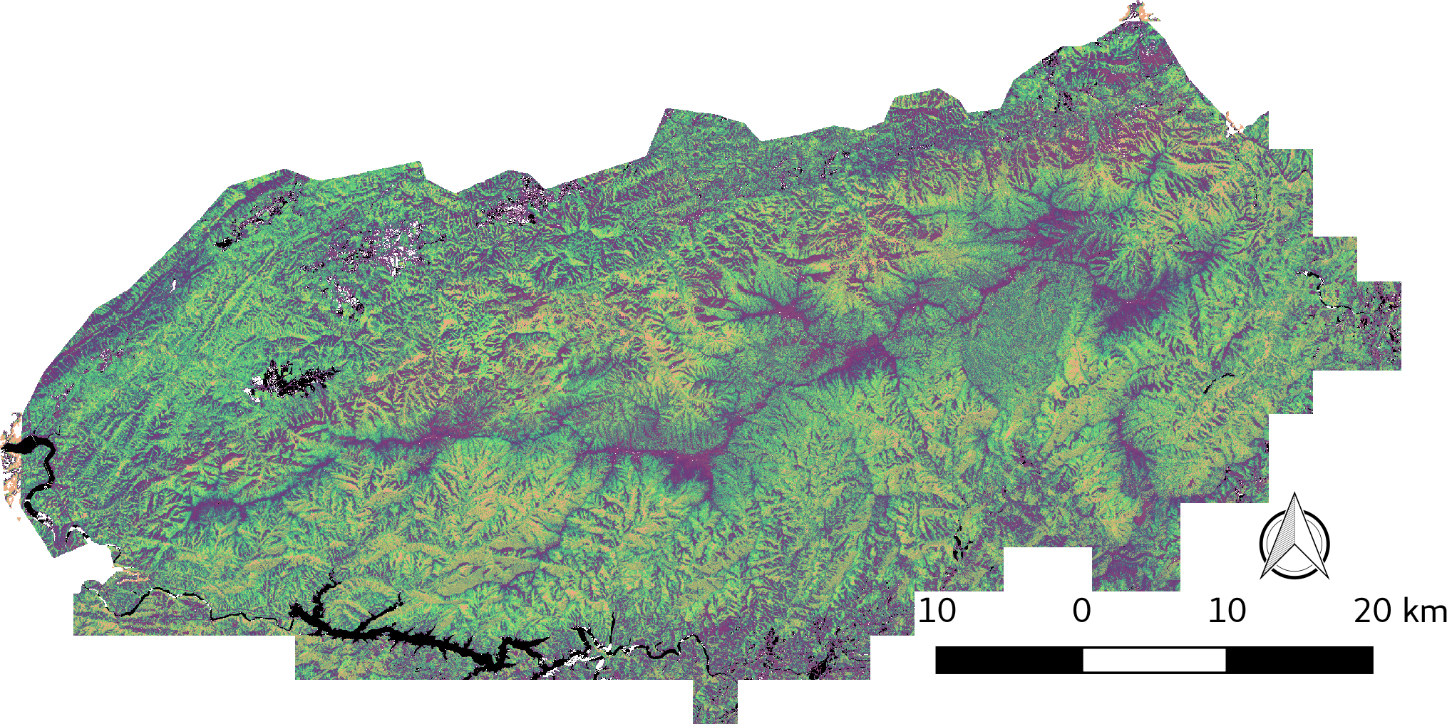
LiDAR-derived Vegetation Canopy Structure, Great Smoky Mountains National Park, 2011
National Aeronautics and Space Administration —
This dataset provides multiple-return LiDAR-derived vegetation canopy structure at 30-meter spatial resolution for the Great Smoky Mountains National Park (GSMNP).... -
Federal
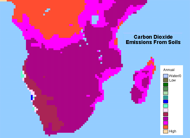
SAFARI 2000 Monthly and Annual CO2 Emissions from Soil, 0.5 Degree Grid
National Aeronautics and Space Administration —
The data set provides estimated monthly and annual soil CO2 emissions for southern Africa (the SAFARI 2000 project region). The calculated emissions are from the... -
Federal
LBA-ECO ND-01 Streamwater and Watershed Characteristics, Rondonia, Brazil: 1998-1999
National Aeronautics and Space Administration —
This data set provides the results of (1) synoptic streamwater sampling and analyses from numerous sites across Rondonia and (2) corresponding watershed... -
Federal
LBA-ECO LC-21 Soil Characteristics, Logged Areas, Tapajos Forest, Para, Brazil: 2003
National Aeronautics and Space Administration —
This data set provides measurements for soil nutrients from areas that were selectively logged and from control areas in the Tapajos National Forest, Para Western... -
Federal
LBA-ECO CD-06 CO2 Exchange in River Systems Across the Amazon Basin: 2004-2007
National Aeronautics and Space Administration —
This data set provides measurements of carbon dioxide flux rates (FCO2), gas transfer velocity (k), and partial pressures (pCO2) at 75 sites on rivers and streams of... -
Federal
LBA-ECO TG-06 Vertical Profiles of Atmospheric Trace Gases over the Amazon Basin
National Aeronautics and Space Administration —
This data set contains measurements of atmospheric carbon dioxide (CO2), methane (CH4), carbon monoxide (CO), hydrogen (H2), nitrous oxide (N2O), and sulfur... -
Federal
SAFARI 2000 ASTER and MODIS Fire Data Comparison, Dry Season 2001
National Aeronautics and Space Administration —
These data relate to a paper (Morisette et al., 2005) that describes the use of high spatial resolution ASTER data to determine the accuracy of the moderate... -
Federal
SAFARI 2000 Carbon in Live Vegetation, 0.5-Deg (Olson)
National Aeronautics and Space Administration —
This data set is a subset of Olson's Major World Ecosystem Complexes for southern Africa in ASCII GRID and binary image files formats. Olson's Major World Ecosystem... -
Federal
SAFARI 2000 Derived Soil Properties, 0.5-Deg (ISRIC-WISE)
National Aeronautics and Space Administration —
The data set consists of a southern Africa subset of the ISRIC-WISE global data set of derived soil properties. The World Inventory of Soil Emission Potentials (WISE)... -
Federal
SAFARI 2000 Organic Soil Carbon and Nitrogen Data (Zinke et al.)
National Aeronautics and Space Administration —
The data set contains a subset of the Worldwide Organic Soil Carbon and Nitrogen (Zinke et al. 1986) data set for southern Africa. The data were obtained from soil...
11 datasets found for "k297(自适应手机端)响应式通信电力金融医疗科技类网站pbootcms模板黑色智能医疗设备✅项目合作 二开均可 TG:saolei44✅.KQJvCOgjMuOZb"