
-
Federal
Surface Radiance Data: UNL (FIFE)
National Aeronautics and Space Administration —
The Surface Temperatures, Reflected and Emitted Radiation, and PAR from UNL Data Set contains surface temperatures at different view zenith and azimuth angles, net... -
Federal
ATom: In Situ Atmospheric Water Vapor from the Diode Laser Hygrometer, Version 2
National Aeronautics and Space Administration —
This dataset provides the concentrations of water measured by the Diode Laser Hygrometer (DLH) flown on the NASA DC-8 during the ATom 1-4 campaigns from 2016 - 2018.... -
Federal
In-situ Air Temperature and Relative Humidity in Greenbelt, MD, 2013-2015
National Aeronautics and Space Administration —
This data set describes the temperature and relative humidity at 12 locations around Goddard Space Flight Center in Greenbelt MD at 15 minute intervals between... -
Federal
VEMAP 2: U.S. Daily Climate Change Scenarios
National Aeronautics and Space Administration —
The Vegetation/Ecosystem Modeling and Analysis Project (VEMAP) Phase 2 has developed a number of transient climate change scenarios based on coupled atmosphere-ocean... -
Federal
BOREAS AES Canadian Hourly and Daily Surface Meteorological Data, R1
National Aeronautics and Space Administration —
This data set contains hourly and daily meteorological data from 23 meteorological stations across Canada from January 1975 to January 1997. The surface meteorology... -
Federal
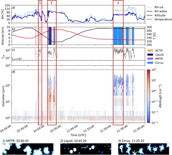
ATom: Development of Cloud Indicator Algorithm Using Airborne Observations from CAPS
National Aeronautics and Space Administration —
This dataset is the basis for the development of the Cloud Indicator, a novel algorithm that automatically detects and classifies measurement periods inside clouds.... -
Federal
NACP MsTMIP: Global and North American Driver Data for Multi-Model Intercomparison
National Aeronautics and Space Administration —
This data set provides environmental data that have been standardized and aggregated for use as input to carbon cycle models at global (0.5-degree resolution) and... -
Federal
SAFARI 2000 Meteorological and Flux Tower Measurements in Maun, Botswana, 2000
National Aeronautics and Space Administration —
To investigate potential contributions of savanna ecosystems to the Earth s carbon balance, an eddy covariance system was used to measure the seasonal variation in... -
Federal
SAFARI 2000 Leaf-Level VOC Emissions, Maun, Botswana, Wet Season 2001
National Aeronautics and Space Administration —
Biogenic volatile organic compounds (VOCs) comprise a significant proportion of trace gases in the atmospheric environment and play an important role in the formation... -
Federal
SAFARI 2000 Upper Air Meteorological Profiles, Skukuza, Dry Seasons 1999-2000
National Aeronautics and Space Administration —
Vaisala RS80 sondes were deployed from Skukuza Airport, South Africa, to collect atmospheric sounding profiles of temperature and moisture data from the surface to 30... -
Federal
SAFARI 2000 Upper Air Meteorological Profiles, South Africa, Dry Season 2000
National Aeronautics and Space Administration —
The University of Wyoming has a series of balloonborne radiosonde measurements from all around the world, from the surface to 30 km. This data set contains upper air... -
Federal
VEMAP 1: U.S. Climate Change Scenarios Based on Models with Increased CO2
National Aeronautics and Space Administration —
The Vegetation/Ecosystem Modeling and Analysis Project (VEMAP) is an ongoing multiinstitutional, international effort addressing the response of biogeography and... -
Federal
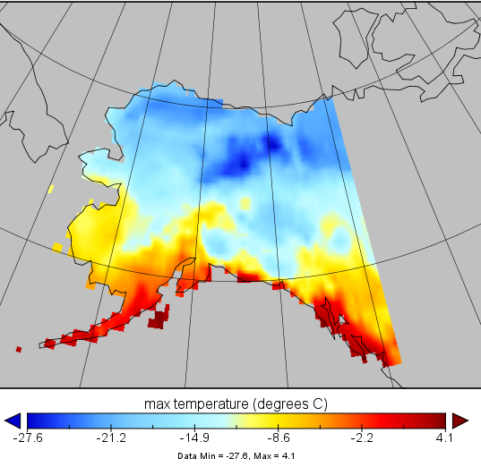
VEMAP 2: Monthly Historical and Future Climate Data, Alaska, USA
National Aeronautics and Space Administration —
This data set provides the results of the development of The Vegetation/Ecosystem Modeling and Analysis Project (VEMAP) Phase 2 transient climate change scenarios for... -
Federal
VEMAP 2: U.S. Annual Climate Change Scenarios
National Aeronautics and Space Administration —
The Vegetation/Ecosystem Modeling and Analysis Project (VEMAP) Phase 2 has developed a number of transient climate change scenarios based on coupled atmosphere-ocean... -
Federal
VEMAP 2: U.S. Monthly Climate Change Scenarios, Version 2
National Aeronautics and Space Administration —
The Vegetation/Ecosystem Modeling and Analysis Project (VEMAP) Phase 2 has developed a number of transient climate change scenarios based on coupled atmosphere-ocean... -
Federal
SAFARI 2000 Kalahari Transect CO2, Water Vapor, and Heat Flux, Wet Season 2000
National Aeronautics and Space Administration —
Short-term measurements of carbon dioxide, water, and energy fluxes were collected at four locations along a mean annual precipitation gradient in southern Africa... -
Federal
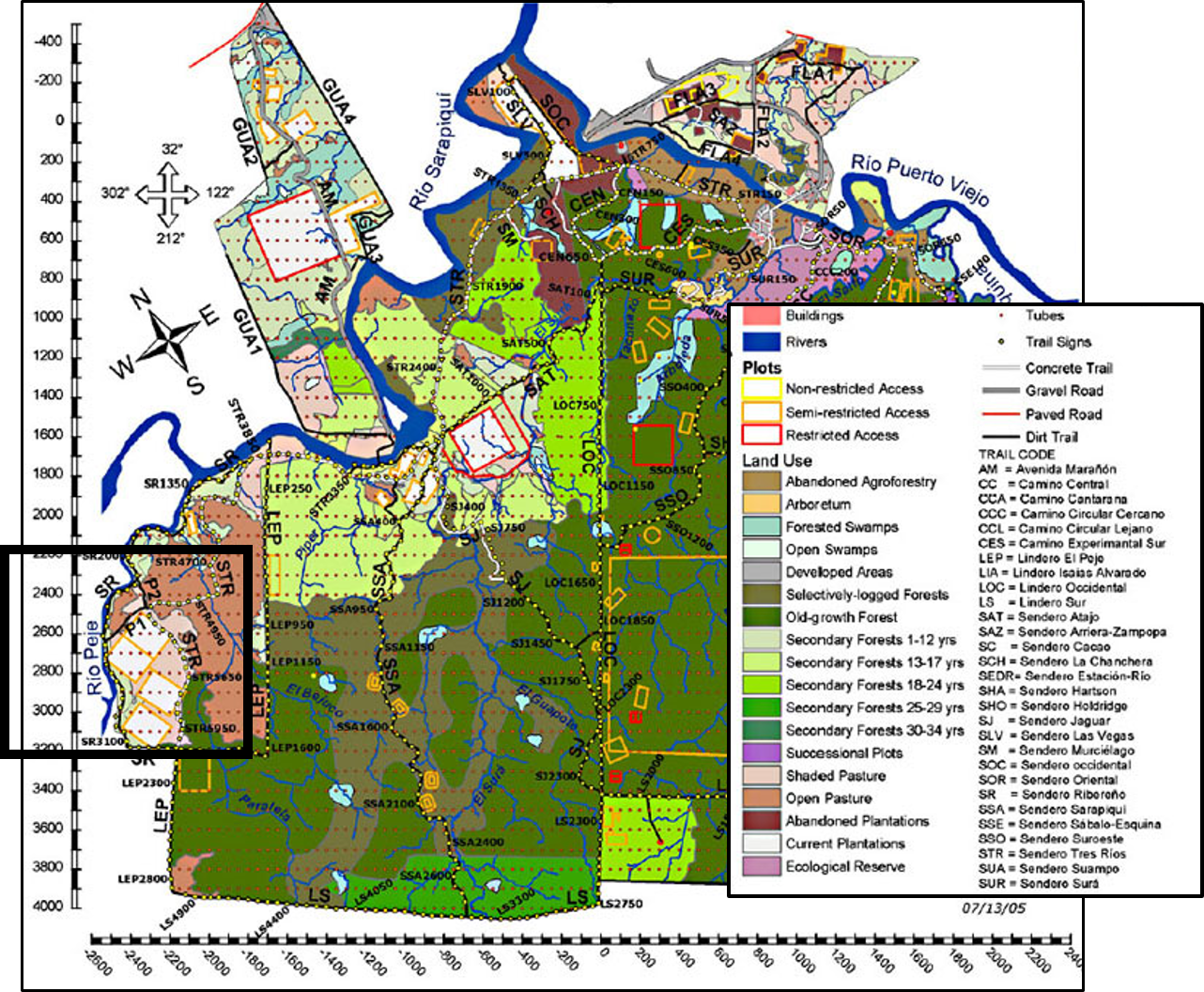
Soil CO2 Flux, Moisture, Temperature, and Litterfall, La Selva, Costa Rica, 2003-2010
National Aeronautics and Space Administration —
This data set provides measurements of soil carbon dioxide (CO2) emission rates, soil moisture, relative humidity (RH), temperature, and litterfall from six types of... -
Federal
LBA-ECO CD-05 Soil VWC and Meteorology, Rainfall Exclusion, Tapajos National Forest
National Aeronautics and Space Administration —
This data set reports soil moisture expressed as volumetric water content (VWC), daily precipitation, air temperature, relative humidity, and dew point measurements... -
Federal
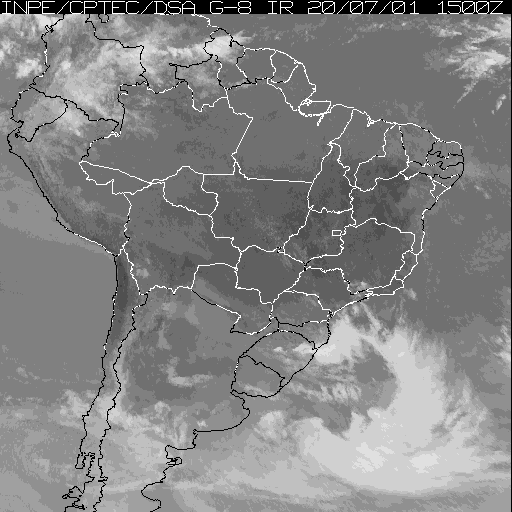
LBA-ECO CD-01 Meteorological Data, Tapajos and Amazon Rivers, Santarem, Brazil: 2001
National Aeronautics and Space Administration —
This data set contains meteorological data collected around the confluence of the Tapajos River with the Amazon River in the Amazon Basin near Santarem, Brazil, in... -
Federal
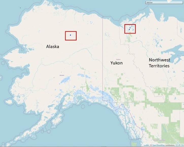
Dendrometer, Soil, and Weather Observations, Arctic Tree Line, AK and NWT, 2016-2019
National Aeronautics and Space Administration —
This dataset provides in situ measurements of radial tree growth of selected white spruce (Picea glauca) and black spruce (Picea mariana) trees, as well as...

Official websites use .gov
A
.gov website belongs to an official government
organization in the United States.
Secure .gov websites use HTTPS
A
lock (
) or https:// means you’ve safely connected to
the .gov website. Share sensitive information only on official,
secure websites.