
-
Federal
GOES IMPACTS
National Aeronautics and Space Administration —
The GOES IMPACTS dataset consists of single reflective band radiance products from the Advanced Baseline Imager (ABI) onboard the GOES-16 geostationary satellite.... -
Federal
GPM GROUND VALIDATION DC-8 CAMERA NADIR GCPEX
National Aeronautics and Space Administration —
The GPM Ground Validation DC-8 Camera Nadir GCPEx dataset contains geo-located, visible-wavelength imagery of the ground obtained from the nadir camera aboard the... -
Federal
GRIP FLIGHT TRACKS AND ANIMATIONS V1
National Aeronautics and Space Administration —
The GRIP Flight Tracks and Animations dataset includes both KML files and animation files. The KML files use Google Earth to show the flight tracks on a map. The... -
Federal
GPM GROUND VALIDATION DC-8 CAMERA NADIR GCPEX V1
National Aeronautics and Space Administration —
The GPM Ground Validation DC-8 Camera Nadir GCPEx dataset contains geo-located, visible-wavelength imagery of the ground obtained from the nadir camera aboard the... -
Federal
GOES-R PLT Field Campaign Airborne Visible/Infrared Imaging Spectrometer Next Generation (AVIRIS-NG)
National Aeronautics and Space Administration —
The GOES-R PLT Field Campaign Airborne Visible/Infrared Imaging Spectrometer Next Generation (AVIRIS-NG) dataset consists of radiance, reflectance, water phase, and... -
Federal
GPM Ground Validation GOES 14 Visible and Infrared Images IPHEx V1
National Aeronautics and Space Administration —
The GPM Ground Validation GOES 14 Visible and Infrared Images IPHEx dataset contains visible and infrared images from the GOES 14 Imager collected during the... -
Federal
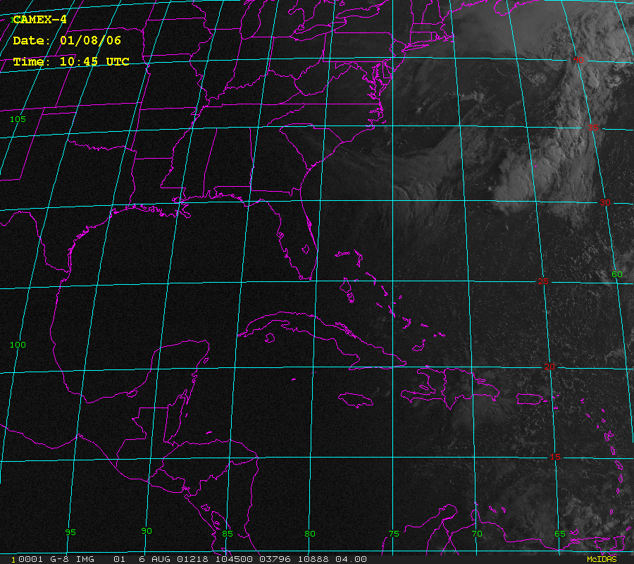
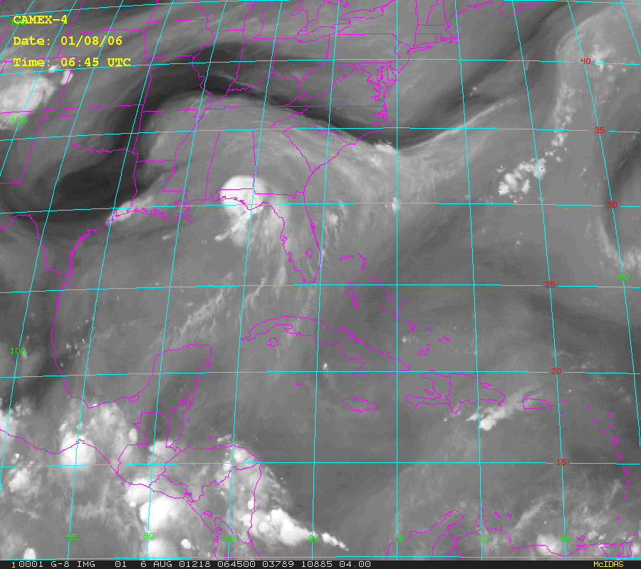
CAMEX-4 GOES-8 PRODUCTS V1
National Aeronautics and Space Administration —
The CAMEX-4 GOES-8 Products dataset was collected during the CAMEX-4 field campaign, which ocused on the study of tropical cyclone (hurricane) development, tracking,... -
Federal
GRIP GOES 11 VISIBLE AND INFRARED IMAGES V1
National Aeronautics and Space Administration —
The GRIP GOES 11 Visible and Infrared Images dataset was produced and archived in near real-time at the Global Hydrology Resource Center throughout the Genesis and... -
Federal
GPM Ground Validation GOES 13 Visible and Infrared Images IPHEx V1
National Aeronautics and Space Administration —
The GPM Ground Validation GOES 13 Visible and Infrared Images IPHEx dataset contains visible and infrared images in 3 sizes (FULL, CONUS, and EXT) from the GOES 13... -
Federal
GPM Ground Validation Albert Head (AHD) Ground Meteorological Station (MET) OLYMPEX V1
National Aeronautics and Space Administration —
The GPM Ground Validation Albert Head (AHD) Ground Meteorological Station (MET) OLYMPEX dataset consists of precipitation rate, reflectivity, pressure, temperature,... -
Federal
GPM GROUND VALIDATION ENVIRONMENT CANADA (EC) WEB CAMERA IMAGES GCPEX V1
National Aeronautics and Space Administration —
The GPM Ground Validation Environment Canada (EC) Web Camera Images GCPEx were taken at 5 site locations in Ontario, Canada during the GPM Cold-season Precipitation... -
Federal
GPM Ground Validation GOES 15 Visible and Infrared Images OLYMPEX V1
National Aeronautics and Space Administration —
The GPM Ground Validation GOES 15 Visible and Infrared Images OLYMPEX dataset contains visible and infrared images from the GOES 15 Imager during the GPM Ground... -
Federal
CAMEX-3 MULTISPECTRAL ATMOSPHERIC MAPPING SENSOR (MAMS) V1
National Aeronautics and Space Administration —
The CAMEX-3 Multispectral Atmospheric Mapping Sensor (MAMS) dataset was collected by the Multispectral Atmospheric Mapping Sensor (MAMS), which is a multispectral... -
Federal
GOES-R PLT Field Campaign Airborne Visible/Infrared Imaging Spectrometer Next Generation (AVIRIS-NG) V1
National Aeronautics and Space Administration —
The GOES-R PLT Field Campaign Airborne Visible/Infrared Imaging Spectrometer Next Generation (AVIRIS-NG) dataset consists of radiance, reflectance, water phase, and... -
Federal
GOES-R PLT Airborne Visible/Infrared Imaging Spectrometer (AVIRIS)
National Aeronautics and Space Administration —
The GOES-R PLT Airborne Visible/Infrared Imaging Spectrometer (AVIRIS) dataset consists of radiance, reflectance, water phase, and navigation data delivered by the... -
Federal
GOES IMPACTS V1
National Aeronautics and Space Administration —
The GOES IMPACTS dataset consists of single reflective band radiance products from the Advanced Baseline Imager (ABI) onboard the GOES-16 geostationary satellite.... -
Federal
CAMEX-4 NOAA WP-3D VIDEO V1
National Aeronautics and Space Administration —
The CAMEX-4 NOAA WP-3D Video dataset was collected during the fourth field campaign in the CAMEX series (CAMEX-4), which ran from 16 August to 25 September, 2001 and... -
Federal
GOES-R PLT Airborne Visible/Infrared Imaging Spectrometer (AVIRIS) V1
National Aeronautics and Space Administration —
The GOES-R PLT Airborne Visible/Infrared Imaging Spectrometer (AVIRIS) dataset consists of radiance, reflectance, water phase, and navigation data delivered by the... -
Federal
GPM GROUND VALIDATION ENVIRONMENT CANADA (EC) VAISALA CEILOMETER GCPEX V1
National Aeronautics and Space Administration —
The GPM Ground Validation Environment Canada (EC) VAISALA Ceilometer GCPEx dataset was collected during the GPM Cold-season Precipitation Experiment (GCPEx) in...

Official websites use .gov
A
.gov website belongs to an official government
organization in the United States.
Secure .gov websites use HTTPS
A
lock (
) or https:// means you’ve safely connected to
the .gov website. Share sensitive information only on official,
secure websites.