

15 datasets found for "2017ThinkPHP开发的友情链接交易系统平台源码✅项目合作 二开均可 TG:saolei44✅.JGcqSlIfsZJmcL"
-
Federal
GOES-R PLT Lightning Instrument Package (LIP) V1
National Aeronautics and Space Administration —
The GOES-R PLT Lightning Instrument Package (LIP) dataset consists of electrical field measurements of lightning and navigation data collected by the Lightning... -
Federal
GOES-R PLT Airborne Visible/Infrared Imaging Spectrometer (AVIRIS) V1
National Aeronautics and Space Administration —
The GOES-R PLT Airborne Visible/Infrared Imaging Spectrometer (AVIRIS) dataset consists of radiance, reflectance, water phase, and navigation data delivered by the... -
Federal
GPM Ground Validation NASA ER-2 Navigation Data OLYMPEX V1
National Aeronautics and Space Administration —
The GPM Ground Validation NASA ER-2 Navigation Data OLYMPEX dataset supplies navigation data collected by the NASA ER-2 aircraft for flights that occurred during... -
Federal
GOES-R Geostationary Lightning Mapper (GLM) Gridded Data Products V1
National Aeronautics and Space Administration —
The GOES-R Geostationary Lightning Mapper (GLM) Gridded Data Products consist of full disk extent gridded lightning flash data collected by the Geostationary... -
Federal
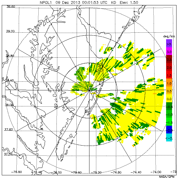
GPM Ground Validation NASA S-Band Dual Polarimetric (NPOL) Doppler Radar Wallops Flight Facility (WFF) V1
National Aeronautics and Space Administration —
The GPM Ground Validation NASA S-Band Dual-Polarimetric (NPOL) Doppler Radar Wallops Flight Facility (WFF) dataset consists of rain rate, reflectivity, Doppler... -
Federal
GOES-R PLT North Alabama Lightning Mapping Array (LMA) V1
National Aeronautics and Space Administration —
The GOES-R PLT North Alabama Lightning Mapping Array (LMA) dataset consists of total lightning data measured from the North Alabama LMA (NALMA) network during the... -
Federal
GOES-R PLT Cloud Physics LiDAR (CPL) V1
National Aeronautics and Space Administration —
The GOES-R PLT Cloud Physics Lidar (CPL) dataset consists of backscatter coefficient, lidar depolarization ratio, layer top/base height, layer type, particulate... -
Federal
GOES-R PLT Geostationary Coastal and Air Pollution Event (GEO-CAPE) Airborne Simulator (GCAS) V1
National Aeronautics and Space Administration —
The GOES-R PLT Geostationary Coastal and Air Pollution Event (GEO-CAPE) Airborne Simulator (GCAS) dataset consist of solar backscattered radiation measured by the... -
Federal
GOES-R Geostationary Lightning Mapper (GLM) Gridded Data Products
National Aeronautics and Space Administration —
The GOES-R Geostationary Lightning Mapper (GLM) Gridded Data Products consist of full disk extent gridded lightning flash data collected by the Geostationary... -
Federal
GOES-R PLT Cloud Physics LiDAR (CPL)
National Aeronautics and Space Administration —
The GOES-R PLT Cloud Physics Lidar (CPL) dataset consists of backscatter coefficient, lidar depolarization ratio, layer top/base height, layer type, particulate... -
Federal
GPM Ground Validation Duke Parsivel IPHEx V1
National Aeronautics and Space Administration —
The GPM Ground Validation Duke Parsivel IPHEx dataset were collected during the GPM Ground Validation Integrated Precipitation and Hydrology Experiment (IPHEx) field... -
Federal
AAMH CPEX V1
National Aeronautics and Space Administration —
The AAMH CPEX dataset contains products obtained from the MetOp-A, MetOp-B, NOAA-18, and NOAA-19 satellites. These data were collected in support of the NASA... -
Federal
GOES-R PLT Field Campaign Airborne Visible/Infrared Imaging Spectrometer Next Generation (AVIRIS-NG) V1
National Aeronautics and Space Administration —
The GOES-R PLT Field Campaign Airborne Visible/Infrared Imaging Spectrometer Next Generation (AVIRIS-NG) dataset consists of radiance, reflectance, water phase, and...
15 datasets found for "2017ThinkPHP开发的友情链接交易系统平台源码✅项目合作 二开均可 TG:saolei44✅.JGcqSlIfsZJmcL"