
-
Federal
GPM IMERG Final Precipitation L3 1 day 0.1 degree x 0.1 degree V07 (GPM_3IMERGDF) at GES DISC
National Aeronautics and Space Administration —
Version 07 is the current version of the data set. Older versions will no longer be available and have been superseded by Version 07.The Integrated Multi-satellitE... -
Federal
HAQAST Sentinel-5P TROPOMI Nitrogen Dioxide (NO2) CONUS Monthly Level 3 0.01 x 0.01 Degree Gridded Data V2.4 (HAQ_TROPOMI_NO2_CONUS_M_L3) at GES DISC
National Aeronautics and Space Administration —
This product provides level 3 monthly averages of tropospheric Nitrogen dioxide (NO2) vertical column density derived from the level 2 Tropospheric Monitoring... -
Federal
HAQAST Sentinel-5P TROPOMI Nitrogen Dioxide (NO2) GLOBAL Monthly Level 3 0.1 x 0.1 Degree Gridded Data Version 2.4 (HAQ_TROPOMI_NO2_GLOBAL_M_L3) at GES DISC
National Aeronautics and Space Administration —
This product provides level 3 monthly averages of tropospheric Nitrogen dioxide (NO2) vertical column density derived from the level 2 Tropospheric Monitoring... -
Federal
GLDAS Catchment Land Surface Model L4 daily 0.25 x 0.25 degree GRACE-DA1 V2.2 (GLDAS_CLSM025_DA1_D_EP) at GES DISC
National Aeronautics and Space Administration —
NASA Global Land Data Assimilation System Version 2 (GLDAS-2) has three components: GLDAS-2.0, GLDAS-2.1, and GLDAS-2.2. GLDAS-2.0 is forced entirely with the... -
Federal
TROPESS CrIS-SNPP L2 Deuterated Water Vapor for Reanalysis Stream, Summary Product V1 (TRPSYL2HDOCRSRS) at GES DISC
National Aeronautics and Space Administration —
The TROPESS CrIS-SNPP L2 Deuterated Water Vapor for Reanalysis Stream, Summary Product contains the vertical distribution of the retrieved atmospheric state of semi-... -
Federal
GEOS-Carb CASA-GFED Daily Fire and Fuel Emissions 0.5 degree x 0.5 degree V3 (GEOS_CASAGFED_D_FIRE) at GES DISC
National Aeronautics and Space Administration —
This product provides Daily average wildfire emissions (FIRE) andfuel wood burning emissions (FUEL) derived from the Carnegie-Ames-Stanford-Approach – Global Fire... -
Federal
GPM IMERG Early Precipitation L3 1 day 0.1 degree x 0.1 degree V07 (GPM_3IMERGDE) at GES DISC
National Aeronautics and Space Administration —
Version 07 is the current version of the data set. Older versions will no longer be available and have been superseded by Version 07.The Integrated Multi-satellitE... -
Federal
GPM SSMIS on F16 (GPROF) Radiometer Precipitation Profiling L2 1.5 hours 12 km V07 (GPM_2AGPROFF16SSMIS) at GES DISC
National Aeronautics and Space Administration —
Version 07 is the current version of the data set. Older versions will no longer be available and have been superseded by Version 07.The 2AGPROF (Goddard Profiling)... -
Federal
SBUV2/NOAA-18 Ozone (O3) Profile and Total Column Ozone 1 Month Zonal Mean L3 Global 5.0 degree Latitude Zones V1 (SBUV2N18L3zm) at GES DISC
National Aeronautics and Space Administration —
The Solar Backscattered Ultraviolet (SBUV) from NOAA-18 Level-3 monthly zonal mean (MZM) product (SBUV2N18L3zm) is derived from the Level-2 retrieved ozone profiles.... -
Federal
MERRA-2 tavgU_2d_aer_Nx: 2d,diurnal,Time-averaged,Single-Level,Assimilation,Aerosol Diagnostics 0.625 x 0.5 degree V5.12.4 (M2TUNXAER) at GES DISC
National Aeronautics and Space Administration —
M2TUNXAER (or tavgU_2d_aer_Nx) is a time-averaged 2-dimensional monthly diurnal means data collection in Modern-Era Retrospective analysis for Research and... -
Federal
GPM IMERG Late Precipitation L3 1 day 0.1 degree x 0.1 degree V07 (GPM_3IMERGDL) at GES DISC
National Aeronautics and Space Administration —
Version 07 is the current version of the data set. Older versions will no longer be available and have been superseded by Version 07.The Integrated Multi-satellitE... -
Federal
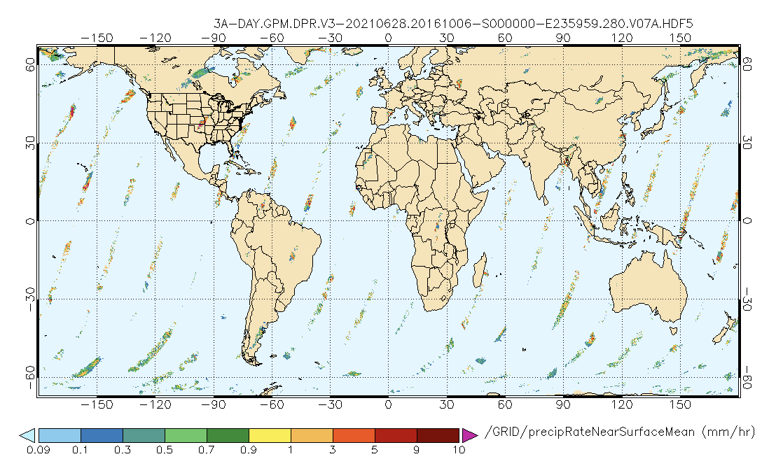
GPM DPR Precipitation Profile 1 Day 0.25 degree x 0.25 degree V07 (GPM_3DPRD) at GES DISC
National Aeronautics and Space Administration —
Version 07 is the current version of the data set. Older versions will no longer be available and have been superseded by Version 07.. The precipitation estimates in... -
Federal
GPM IMERG Early Precipitation L3 Half Hourly 0.1 degree x 0.1 degree V07 (GPM_3IMERGHHE) at GES DISC
National Aeronautics and Space Administration —
Version 07B is the current version of the IMERG data sets. Older versions will no longer be available and have been superseded by Version 07.The Integrated Multi-... -
Federal
NLDAS Noah Land Surface Model L4 Monthly Climatology 0.125 x 0.125 degree V2.0 (NLDAS_NOAH0125_MC) at GES DISC
National Aeronautics and Space Administration —
This monthly climatology data set contains a series of land surface parameters simulated from the Noah land-surface model (LSM) for Phase 2 of the North American Land... -
Federal
Aqua/AIRS L3 Daily Standard Physical Retrieval (AIRS+AMSU) 1 degree x 1 degree V7.0 at GES DISC
National Aeronautics and Space Administration —
The Atmospheric Infrared Sounder (AIRS) is a grating spectrometer (R = 1200) aboard the second Earth Observing System (EOS) polar-orbiting platform, EOS Aqua. In... -
Federal
MLS/Aura Level 3 Daily Binned Relative Humidity With Respect To Ice (RHI) on Assorted Grids V005 (ML3DBRHI) at GES DISC
National Aeronautics and Space Administration —
ML3DBRHI is the EOS Aura Microwave Limb Sounder (MLS) daily binned on various vertical grids product for relative humidity with respect to ice (RHI) derived from... -
Federal
Carbon Monitoring System Carbon Flux Total Prior L4 V3 (CMSFluxTotalPrior)
National Aeronautics and Space Administration —
This dataset provides the Prior for Total Carbon Flux.The NASA Carbon Monitoring System (CMS) is designed to make significant contributions in characterizing,... -
Federal
GEOS-5 FP-IT 3D Time-Averaged Single-Level Diagnostics Geo-Colocated to OMI/Aura UV2 1-Orbit L2 Swath 13x24km V4 (OMUFPSLV) at GES DISC
National Aeronautics and Space Administration —
The GEOS-5 FP-IT 3D Time-Averaged Single-Level Diagnostics Geo-Colocated to OMI/Aura UV2 1-Orbit L2 Swath 13x24km (OMUFPSLV) provides selected parameters from GEOS-5... -
Federal
Sounder SIPS: Suomi NPP CrIMSS Level 2 CHART Normal Spectral Resolution: Atmosphere, cloud and surface geophysical state V1
National Aeronautics and Space Administration —
The objective of this limited edition data collection is to examine products generated by the Climate Heritage AIRS Retrieval Technique (CHART) algorithm to analyze... -
Federal
MERRA-2 tavgU_3d_cld_Np: 3d,diurnal,Time-Averaged,Pressure-Level,Assimilation,Cloud Diagnostics 0.625 x 0.5 degree V5.12.4 (M2TUNPCLD) at GES DISC
National Aeronautics and Space Administration —
M2TUNPCLD (or tavgU_3d_cld_Np) is a 3-dimensional monthly diurnal means data collection in Modern-Era Retrospective analysis for Research and Applications version 2...

Official websites use .gov
A
.gov website belongs to an official government
organization in the United States.
Secure .gov websites use HTTPS
A
lock (
) or https:// means you’ve safely connected to
the .gov website. Share sensitive information only on official,
secure websites.