
-
Federal
GPCP Precipitation Level 3 Daily 0.5-Degree V3.3 (GPCPDAY) at GES DISC
National Aeronautics and Space Administration —
Version 3.3 is the current version. Older versions have been superseded by Version 3.3.Product latency/update: The products are currently paused at September 2024... -
Federal
NCA-LDAS Noah-3.3 Land Surface Model L4 Trends 0.125 x 0.125 degree V2.0 (NCALDAS_NOAH0125_Trends) at GES DISC
National Aeronautics and Space Administration —
The National Climate Assessment - Land Data Assimilation System, or NCA-LDAS, is a terrestrial water reanalysis in support of the United States Global Change Research... -
Federal
GEOS-Carb CASA-GFED Daily Fire and Fuel Emissions 0.5 degree x 0.5 degree V3 (GEOS_CASAGFED_D_FIRE) at GES DISC
National Aeronautics and Space Administration —
This product provides Daily average wildfire emissions (FIRE) andfuel wood burning emissions (FUEL) derived from the Carnegie-Ames-Stanford-Approach – Global Fire... -
Federal
AIRS/Aqua L1B AMSU (A1/A2) geolocated and calibrated brightness temperatures V005 (AIRABRAD) at GES DISC
National Aeronautics and Space Administration —
The Atmospheric Infrared Sounder (AIRS) is a grating spectrometer (R = 1200) aboard the second Earth Observing System (EOS) polar-orbiting platform, EOS Aqua. In... -
Federal
CAR ARCTAS BRDF Measurements V2 (CAR_ARCTAS_BRDF) at GES DISC
National Aeronautics and Space Administration —
ARCTAS focuses on advancing understanding of the factors driving current changes in the Arctic region including transport of mid-latitude pollution, boreal forest... -
Federal
CAR SCAR-B Smoke, Clouds, and Radiation-Brazil L1 V1 (CAR_SCARB_L1C) at GES DISC
National Aeronautics and Space Administration —
The objectives for the SCAR mission are to advance our knowledge of how the physical, chemical and radiative processes in our atmosphere are affected by sulfate... -
Federal
CAR SnowEx17 BRDF Measurements L1 V2 (CAR_SNOWEX17_BRDF) at GES DISC
National Aeronautics and Space Administration —
SnowEx is a multi-year airborne project to help advance capabilities, and plan for a near-future space mission to monitor global seasonal snow water equivalent -... -
Federal
Aqua AIRS-MLS Matchup Indexes V1.0 (AIRS_MLS_IND) at GES_DISC
National Aeronautics and Space Administration —
This dataset is part of MEaSUREs 2012 Program, and represent Aqua/AIRS-Aura/MLS collocation indexes, in netCDF-4 format. These data map AIRS profile indexes to those... -
Federal
TROPESS CrIS-SNPP L2 for Tokyo Megacity, Standard Product V1 (TRPSDL2ALLCRSMGTOK) at GES DISC
National Aeronautics and Space Administration —
The TROPESS CrIS-SNPP L2 for Tokyo Megacity, Standard Product contains the vertical distribution of seven retrieved atmospheric gases (CH4, CO, H2O, HDO, NH3, O3 and... -
Federal
MERRA-2 inst3_3d_asm_Nv: 3d,3-Hourly,Instantaneous,Model-Level,Assimilation,Assimilated Meteorological Fields 0.625 x 0.5 degree V5.12.4 (M2I3NVASM) at GES DISC
National Aeronautics and Space Administration —
M2I3NVASM (or inst3_3d_asm_Nv) is an instantaneous 3-dimensional 3-hourly data collection in Modern-Era Retrospective analysis for Research and Applications version 2... -
Federal
MERRA-2 tavg3_3d_udt_Np: 3d,3-Hourly,Time-Averaged,Pressure-Level,Assimilation,Wind Tendencies 0.625 x 0.5 degree V5.12.4 (M2T3NPUDT) at GES DISC
National Aeronautics and Space Administration —
M2T3NPUDT (or tavg3_3d_udt_Np) is a 3-dimensional 3-hourly time averaged data collection in Modern-Era Retrospective analysis for Research and Applications version 2... -
Federal
GPCP Precipitation Level 3 Monthly 0.5-Degree V3.3 (GPCPMON) at GES DISC
National Aeronautics and Space Administration —
Version 3.3 is the current version. Older versions have been superseded by Version 3.3.Product latency/update: The products are currently paused at September 2024... -
Federal
Aqua/AIRS L3 Monthly Standard Physical Retrieval (AIRS+AMSU+HSB) 1 degree x 1 degree V7.0 at GES DISC
National Aeronautics and Space Administration —
The Atmospheric Infrared Sounder (AIRS) is a grating spectrometer (R = 1200) aboard the second Earth Observing System (EOS) polar-orbiting platform, EOS Aqua. In... -
Federal
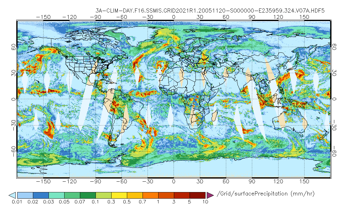
GPM SSMIS on F18 (GPROF) Radiometer Precipitation Profiling L3 1 day 0.25 degree x 0.25 degree V07 (GPM_3GPROFF18SSMIS_DAY) at GES DISC
National Aeronautics and Space Administration —
Version 07 is the current version of the data set. Older versions will no longer be available and have been superseded by Version 07.3GPROF products provide global... -
Federal
GPM SSMIS on F16 (GPROF) Climate-based Radiometer Precipitation Profiling L3 1 day 0.25 degree x 0.25 degree V07 (GPM_3GPROFF16SSMIS_DAY_CLIM) at GES DISC
National Aeronautics and Space Administration —
Version 07 is the current version of the data set. Older versions will no longer be available and have been superseded by Version 07. The "CLIM" products differ from... -
Federal
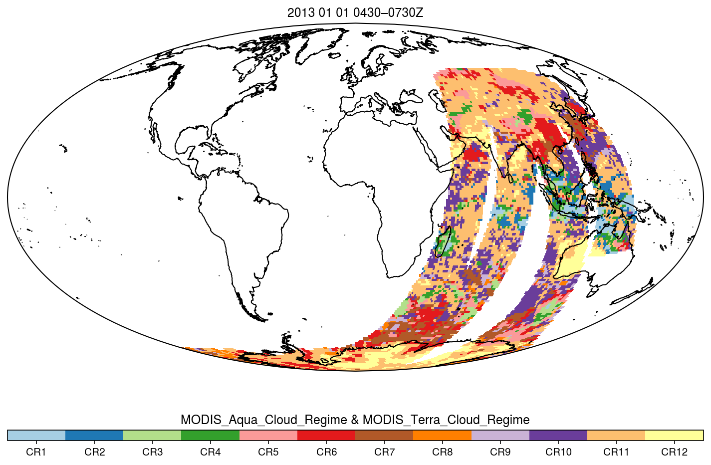
MODIS_CR_Equal_Angle_3h
National Aeronautics and Space Administration —
The MODIS Collection 6.1 Equal-Angle Three-Hourly Cloud Regime product. This product is a discrete classification of cloud fields at the mesoscale as observed by the... -
Federal
GLDAS CLM Land Surface Model L4 3 hourly 1.0 x 1.0 degree Subsetted V001 (GLDAS_CLM10SUBP_3H) at GES DISC
National Aeronautics and Space Administration —
With the upgraded Land Surface Models (LSMs) and updated forcing data sets, the GLDAS version 2.1 (GLDAS-2.1) production stream serves as a replacement for GLDAS-001.... -
Federal
OMPS-NPP L3 NM Ozone (O3) Total Column 1.0 deg grid daily V2
National Aeronautics and Space Administration —
The OMPS-NPP L3 NM Ozone (O3) Total Column 1.0 deg grid daily product provides total ozone measurements from the Ozone Mapping and Profiling Suite (OMPS) Nadir-Mapper... -
Federal
OMPS-NPP L2 NM Formaldehyde (HCHO) Total Column swath orbital
National Aeronautics and Space Administration —
The OMPS-NPP L2 NM Formaldehyde (HCHO) Total Column swath orbital product provides formaldehyde measurements from the Ozone Mapping and Profiling Suite (OMPS) Nadir-... -
Federal
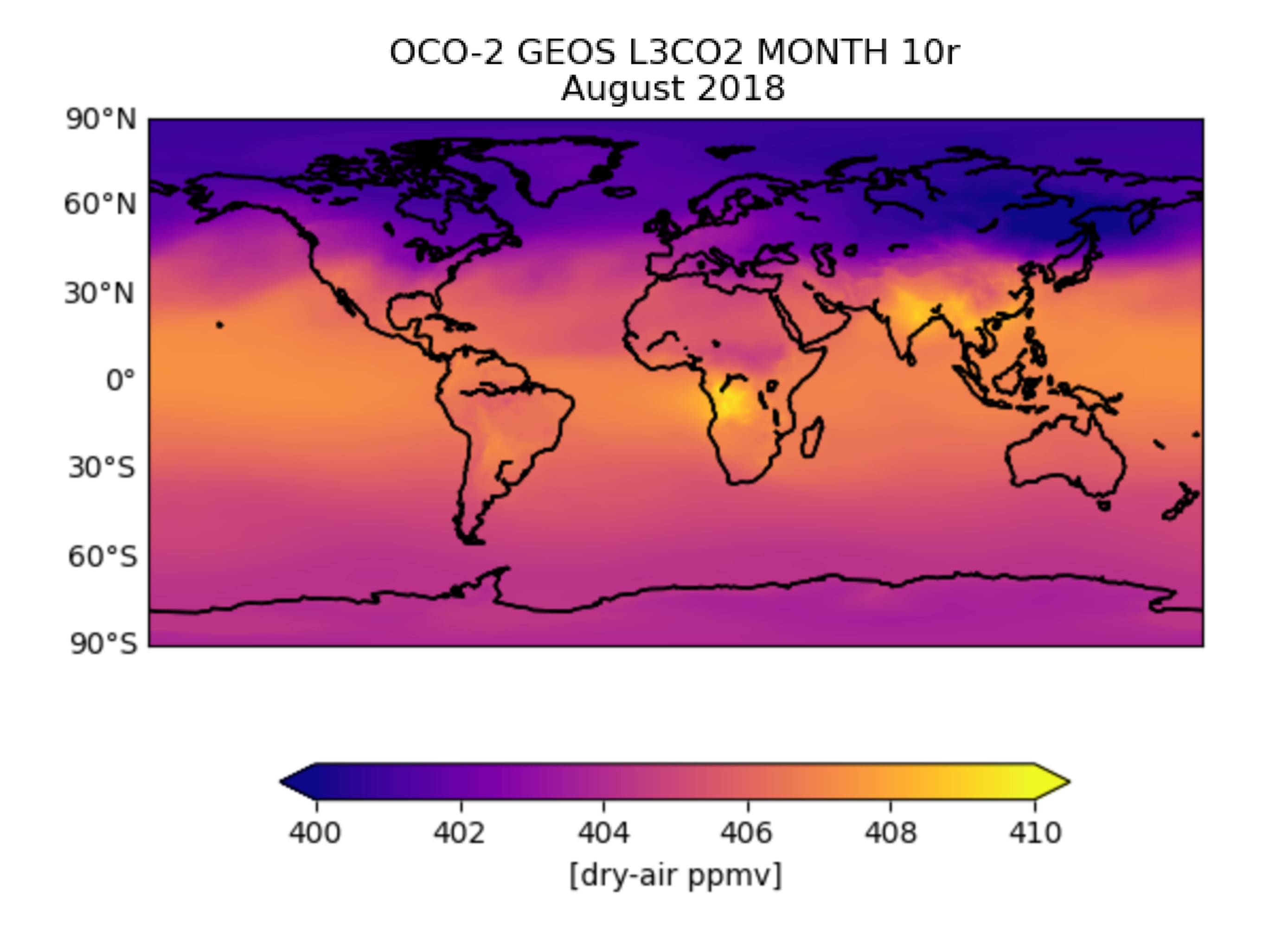
OCO-2 GEOS Level 3 monthly, 0.5x0.625 assimilated CO2 V10r (OCO2_GEOS_L3CO2_MONTH) at GES DISC
National Aeronautics and Space Administration —
This is the Gridded Monthly OCO-2 Carbon Dioxide assimilated dataset. The OCO-2 mission provides the highest quality space-based XCO2 retrievals to date. However, the...

Official websites use .gov
A
.gov website belongs to an official government
organization in the United States.
Secure .gov websites use HTTPS
A
lock (
) or https:// means you’ve safely connected to
the .gov website. Share sensitive information only on official,
secure websites.