

7 datasets found for "13i텔레그램RADARDB_ㄱ카지노디비판매◎"
-
Federal
UARS High Resolution Doppler Imager (HRDI) Level 3AL V011 (UARHR3AL) at GES DISC
National Aeronautics and Space Administration —
The High Resolution Doppler Imager (HRDI) Level 3AL data product consists of daily, 4 degree increment latitude-ordered vertical profiles of meridional and zonal wind... -
Federal
UARS Wind Imaging Interferometer (WINDII) Level 3AT V011 (UARWI3AT) at GES DISC
National Aeronautics and Space Administration —
The Wind Imaging Interferometer (WINDII) Level 3AT data product consists of daily, 65.536 second interval time-ordered vertical profiles of meridional and zonal wind... -
Federal
UARS Wind Imaging Interferometer (WINDII) Level 3AL V011 (UARWI3AL) at GES DISC
National Aeronautics and Space Administration —
The Wind Imaging Interferometer (WINDII) Level 3AL data product consists of daily, 4 degree increment latitude-ordered vertical profiles of meridional and zonal wind... -
Federal
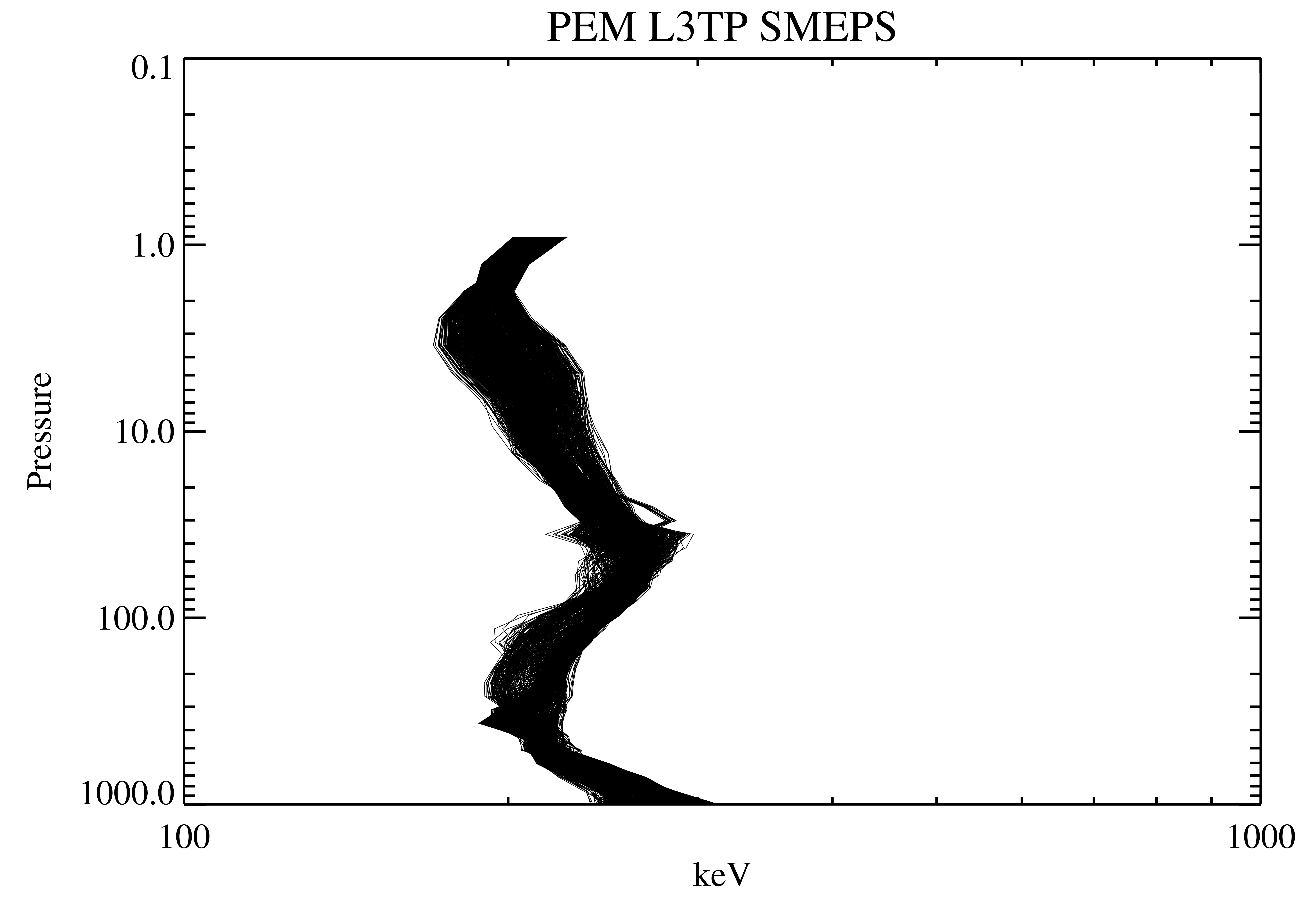
UARS Particle Environment Monitor (PEM) Level 3TP V004 (UARPE3TP) at GES DISC
National Aeronautics and Space Administration —
The Particle Environment Monitor (PEM) Level 3TP data product consists of daily, 65.536 second and 2.048 interval time-ordered, vertical profiles of electron and... -
Federal
UARS Particle Environment Monitor (PEM) Level 3AT V004 (UARPE3AT) at GES DISC
National Aeronautics and Space Administration —
The Particle Environment Monitor (PEM) Level 3AT data product consists of daily, 65.536 second interval time-ordered, vertical profiles of electron, proton and x-ray... -
Federal
UARS High Resolution Doppler Imager (HRDI) Level 3AT V011 (UARHR3AT) at GES DISC
National Aeronautics and Space Administration —
The High Resolution Doppler Imager (HRDI) Level 3AT data product consists of daily, 65.536 second interval time-ordered vertical profiles of meridional and zonal wind... -
Federal
UARS Improved Stratospheric and Mesospheric Sounder (ISAMS) Level 3AL V010 (UARIS3AL) at GES DISC
National Aeronautics and Space Administration —
The Improved Stratospheric and Mesospheric Sounder (ISAMS) Level 3AL data product consists of daily, 4 degree increment latitude-ordered vertical profiles of...
7 datasets found for "13i텔레그램RADARDB_ㄱ카지노디비판매◎"