

3 datasets found for "Sea Ice"
-
Federal
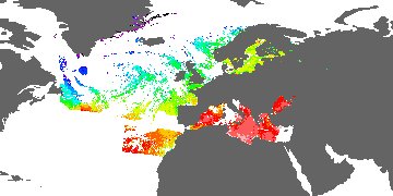
GHRSST Level 3C North Atlantic Regional (NAR) subskin Sea Surface Temperature from SNPP/VIIRS (GDS V2) produced by OSI SAF
National Aeronautics and Space Administration —
A regional Group for High Resolution Sea Surface Temperature (GHRSST) Level 3 Collated (L3C) dataset for the North Atlantic Region (NAR) based on retrievals from the... -
Federal
GHRSST Level 2P Global skin Sea Surface Temperature from the Infrared Atmospheric Sounding Interferometer (IASI) on the Metop-A satellite (GDS V2) produced by OSI SAF
National Aeronautics and Space Administration —
A global 1 km Group for High Resolution Sea Surface Temperature (GHRSST) Level 2P dataset based on multi-channel sea surface temperature (SST) retrievals generated in... -
Federal
GHRSST Level 2P Global skin Sea Surface Temperature from the Infrared Atmospheric Sounding Interferometer (IASI) on the Metop-B satellite (GDS V2) produced by OSI SAF
National Aeronautics and Space Administration —
A Group for High Resolution Sea Surface Temperature (GHRSST) Level 2P dataset based on multi-channel sea surface temperature (SST) retrievals generated in real-time...
3 datasets found for "Sea Ice"