

169 datasets found for "disaster"
-
Federal
amelia-20200825T1929
National Oceanic and Atmospheric Administration, Department of Commerce —
This project supports the deployment and realtime data delivery of autonomous underwater gliders in the coastal ocean to better resolve and understand essential ocean... -
Federal
Geocoded Disasters (GDIS) Dataset
National Aeronautics and Space Administration —
The Geocoded Disasters (GDIS) Dataset is a geocoded extension of a selection of natural disasters from the Centre for Research on the Epidemiology of Disasters'... -
Federal
Aerial Photographs (from AMES Pilot Land Data System); USGS EDC, Sioux Falls
National Aeronautics and Space Administration —
The aerial photography inventoried by the Pilot Land Data System (PLDS) at NASA AMES Research Center has been transferred to the USGS EROS Data Center. The photos... -
Federal
maracoos_01-20201006T1417
National Oceanic and Atmospheric Administration, Department of Commerce —
This project supports the deployment and realtime data delivery of autonomous underwater gliders in the coastal ocean to better resolve and understand essential ocean... -
Federal
Ground-Based Global Navigation Satellite System (GNSS)-based Upper Atmospheric Realtime Disaster Information and Alert Network (GUARDIAN) GLONASS daily antenna phase centers (24-hour files) from NASA CDDIS
National Aeronautics and Space Administration —
This product contains antenna phase center locations relative to the GLONASS satellite's center of mass. The product is generated at JPL's Global Differential GPS... -
Federal
ru30-20191015T1824 Delayed Mode Science Profiles
National Oceanic and Atmospheric Administration, Department of Commerce —
This project integrated a deep rated version of the Ion Sensitive Field Effect Transistor (ISFET)-based pH sensor, the Deep ISFET pH, into a Slocum Webb G2 glider.... -
State
Oregon Statewide Flood Hazard Database - Observed Inundation - 2015
State of Oregon —
This is a dataset download, not a document. The Open button will start the download.This data layer is an element of the Oregon GIS Framework. This feature dataset... -
Federal
maracoos_05-20240801T1650
National Oceanic and Atmospheric Administration, Department of Commerce —
This project supports the deployment and real-time data delivery of autonomous underwater gliders in the coastal ocean to better resolve and understand essential... -
Federal
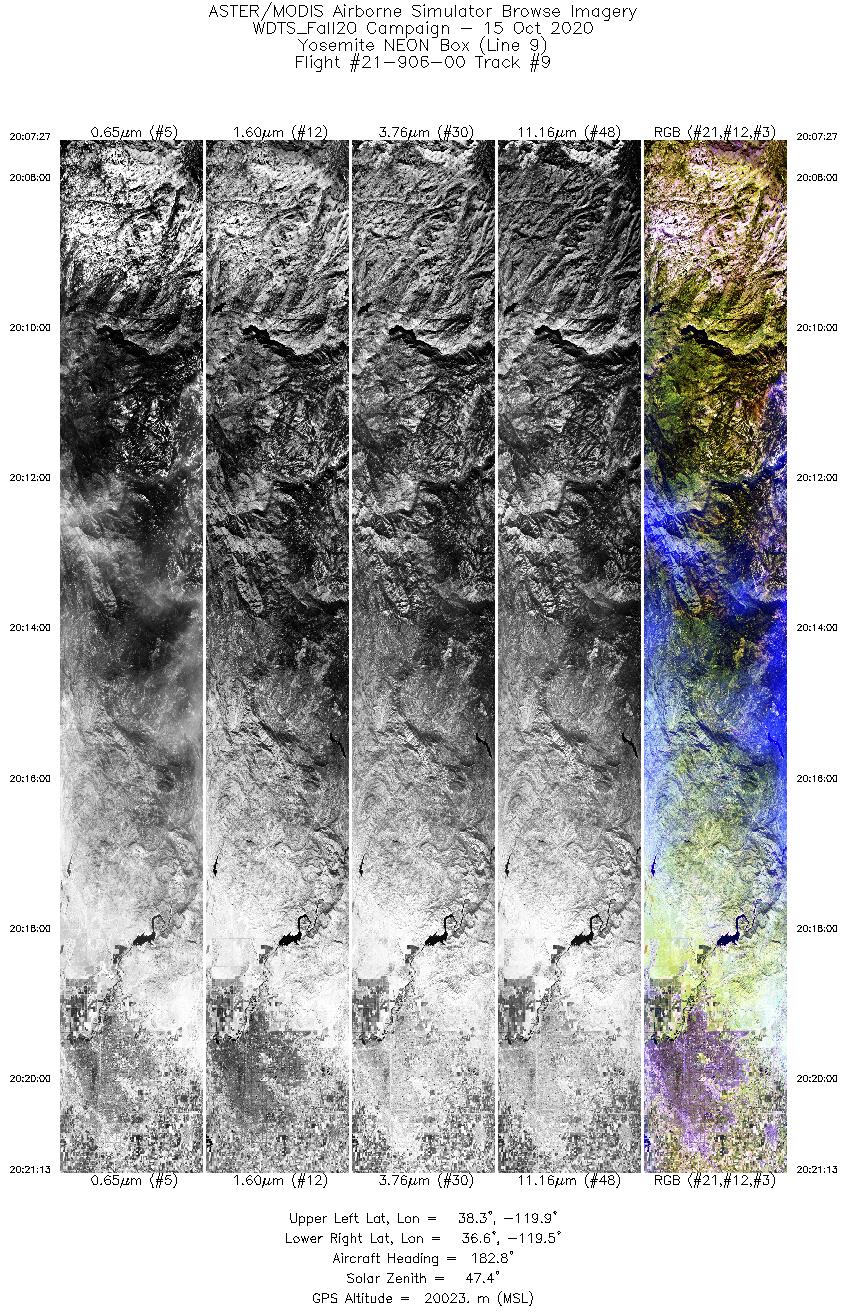
MASTER: Western Diversity Time Series Campaign, WDTS, California, USA, Fall 2020
National Aeronautics and Space Administration —
This dataset includes Level 1B (L1B) and Level 2 (L2) data products from the MODIS/ASTER Airborne Simulator (MASTER) instrument. The spectral data were collected as...
169 datasets found for "disaster"