
-
Federal
Characterization of benthic habitats within St. Thomas East End Reserve (STEER), USVI
National Oceanic and Atmospheric Administration, Department of Commerce —
NCCOS' Center for Coastal Monitoring and Assessment (CCMA) is working closely with a number of divisions in the USVI DPNR (e.g., Divisions of Fish and Wildlife and... -
Federal
AFSC/ABL: Stock composition, timing, and spawning distribution of Yukon River Chinook salmon
National Oceanic and Atmospheric Administration, Department of Commerce —
Radio telemetry was used to determine the distribution, locate spawning sites, and evaluate the tagging response of wild Chinook salmon Oncorhynchus tshawytscha... -
Federal
National Coral Reef Monitoring Program: Benthic Cover Derived from Analysis of Benthic Images Collected during Stratified Random Surveys (StRS) across the Pacific Remote Island Areas since 2014
National Oceanic and Atmospheric Administration, Department of Commerce —
This data has been combined into a US Pacific-wide InPort record: https://www.fisheries.noaa.gov/inport/item/77771. The data described here result from benthic photo-... -
Federal
American Samoa: coral reef monitoring interactive map and information layers primarily from 2010 surveys
National Oceanic and Atmospheric Administration, Department of Commerce —
This interactive map displays American Samoa data collected by the NOAA Coral Reef Ecosystem Division (CRED) during the Pacific Reef Assessment and Monitoring Program... -
Federal
Data from: Comparing three collection methods for pollinating insects within electric transmission rights-of-ways
Department of Agriculture —
Insect pollinator community data collected from three types of insect traps/collecting methods (colored pan traps, blue vane traps, targeted sweep netting) from four... -
Federal
EK60 Water Column Sonar Data Collected During PC1206
National Oceanic and Atmospheric Administration, Department of Commerce —
NEFSC 2012 Atlantic Herring Acoustic/Midwater Trawl Survey (PC1206, EK60). The NEFSC Atlantic herring acoustic survey is a fisheries independent survey that provides... -
Federal
National Coral Reef Monitoring Program: Calcification Rates of Crustose Coralline Algae Derived from Calcification Accretion Units (CAUs) Deployed at the Dry Tortugas from 2015 to 2018
National Oceanic and Atmospheric Administration, Department of Commerce —
The calcification rate data described here are from calcification accretion units (CAUs) that have been retrieved (and replaced) at existing, long-term monitoring... -
Federal
NOAA/WDS Paleoclimatology - Eastern Equatorial Pacific SST Reconstrucition covering the last 1.5 Million Years
National Oceanic and Atmospheric Administration, Department of Commerce —
This archived Paleoclimatology Study is available from the NOAA National Centers for Environmental Information (NCEI), under the World Data Service (WDS) for... -
Federal
NOAA/WDS Paleoclimatology - Heyerdahl fire data from Bear River Range - IMPD USWCH001
National Oceanic and Atmospheric Administration, Department of Commerce —
This archived Paleoclimatology Study is available from the NOAA National Centers for Environmental Information (NCEI), under the World Data Service (WDS) for... -
Federal
Benthic cover data collected at High Priority Reef Areas by the Guam Long-term Coral Reef Monitoring Program from 2010-08-04 to 2024-11-19 (NCEI Accession 0285768)
National Oceanic and Atmospheric Administration, Department of Commerce —
The data in this package include benthic percent cover data collected at High Priority Reef Areas by the Guam Long-term Coral Reef Monitoring Program (GLTMP). These... -
Federal
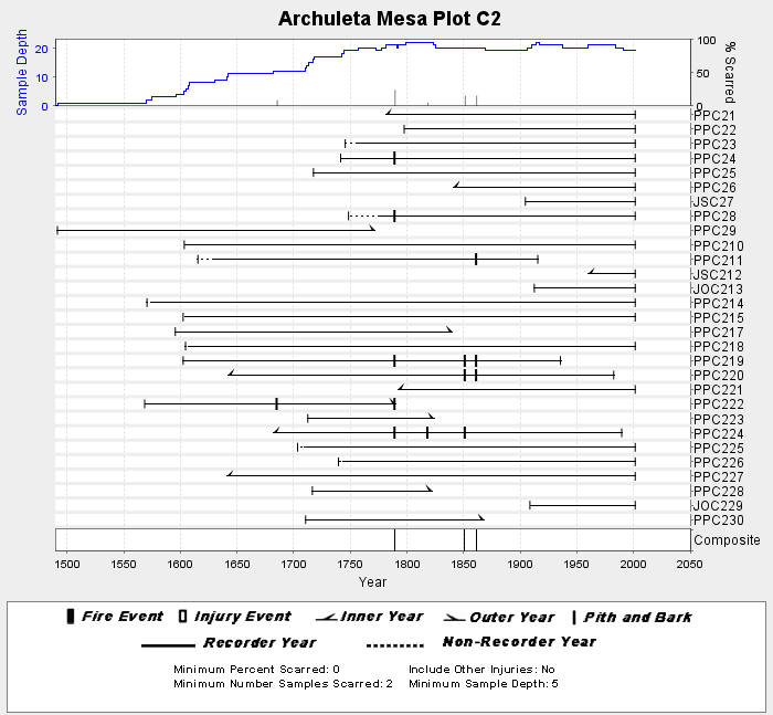
NOAA/WDS Paleoclimatology - Brown fire data from Archuleta Mesa Plot C2 - IMPD USACH017
National Oceanic and Atmospheric Administration, Department of Commerce —
This archived Paleoclimatology Study is available from the NOAA National Centers for Environmental Information (NCEI), under the World Data Service (WDS) for... -
Federal
NOAA/WDS Paleoclimatology - Heyerdahl fire data from Ray Mesa - IMPD USRAY001
National Oceanic and Atmospheric Administration, Department of Commerce —
This archived Paleoclimatology Study is available from the NOAA National Centers for Environmental Information (NCEI), under the World Data Service (WDS) for... -
Federal
Global Historical Climatology Network - Daily (GHCN-Daily), Version 2 (Version Superseded)
National Oceanic and Atmospheric Administration, Department of Commerce —
Please note, this dataset has been superseded by a newer version (see below). Users should not use this version except in rare cases (e.g., when reproducing... -
Federal
EK500 Water Column Sonar Data Collected During DE0108
National Oceanic and Atmospheric Administration, Department of Commerce —
Northern Right Whale and Cetacean Survey (DE0108, EK500). The right whale and cetacean survey primarily focuses on right whales in the coastal and continental shelf... -
Federal
Calcification Rates of Crustose Coralline Algae derived from Calcification Accretion Units (CAUs) deployed across American Samoa and the Pacific Remote Island Areas in 2010 and recovered in 2012 (NCEI Accession 0137093)
National Oceanic and Atmospheric Administration, Department of Commerce —
Laboratory experiments reveal calcification rates of crustose coralline algae are strongly correlated to seawater aragonite saturation state. Predictions of reduced... -
Federal
National Coral Reef Monitoring Program: Assessment of coral reef benthic communities in the U.S. Virgin Islands
National Oceanic and Atmospheric Administration, Department of Commerce —
Data provided in this dataset were collected around the U.S. Virgin Islands (USVI) as part of NOAA National Centers for Coastal Ocean Science (NCCOS)-led missions in... -
Federal
NOAA Fisheries Alaska Essential Fish Habitat and Supplemental Habitat Datasets
National Oceanic and Atmospheric Administration, Department of Commerce —
The Magnuson-Stevens Fishery Conservation and Management Act requires the description and identification of essential fish habitat (EFH) for species included in... -
Federal
NOAA/WDS Paleoclimatology - Brown fire data from Black Hills Plot 209 - IMPD US209001
National Oceanic and Atmospheric Administration, Department of Commerce —
This archived Paleoclimatology Study is available from the NOAA National Centers for Environmental Information (NCEI), under the World Data Service (WDS) for... -
Federal
NOAA/WDS Paleoclimatology - Brown fire data from Black Hills Plot 112 - IMPD US112001
National Oceanic and Atmospheric Administration, Department of Commerce —
This archived Paleoclimatology Study is available from the NOAA National Centers for Environmental Information (NCEI), under the World Data Service (WDS) for... -
Federal
NOAA/WDS Paleoclimatology - Heyerdahl fire data from Big Hole - IMPD USBGH001
National Oceanic and Atmospheric Administration, Department of Commerce —
This archived Paleoclimatology Study is available from the NOAA National Centers for Environmental Information (NCEI), under the World Data Service (WDS) for...

Official websites use .gov
A
.gov website belongs to an official government
organization in the United States.
Secure .gov websites use HTTPS
A
lock (
) or https:// means you’ve safely connected to
the .gov website. Share sensitive information only on official,
secure websites.