

183 datasets found for "Crops"
-
Federal
EnviroAtlas - Average annual soil loss and sediment yield to waterbodies by 12-digit HUC for the Conterminous United States
U.S. Environmental Protection Agency —
This EnviroAtlas national dataset shows the average annual soil loss and sediment yield to waterbodies by 12-digit HUC subwatershed for the conterminous United States... -
Federal
Greater Yellowstone Area Landscape Dynamics, Raster Data
Department of the Interior —
This zip file contains 24 raster layers representing data from a variety of landscape metrics used to analyze the landscape context of the greater Yellowstone area.... -
Federal
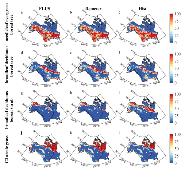
Land Use and Land Cover Change Projection in the ABoVE Domain
National Aeronautics and Space Administration —
This dataset provides projections of land use and land cover (LULC) change within the Arctic Boreal Vulnerability Experiment (ABoVE) domain, spanning from 2015 to... -
Federal
BOREAS TF-11 Biomass Data over the SSA-Fen
National Aeronautics and Space Administration —
The BOREAS TF-11 team collected several data sets in their efforts to fully describe the flux and site characteristics at the SSA-Fen site. This data set contains... -
Federal
NPP Tropical Forest: Marafunga, Papua New Guinea, 1970-1971, R1
National Aeronautics and Space Administration —
This data set contains two ASCII files (.txt format), one providing net primary production (NPP) component data for a lower montane rainforest and the other providing... -
State
i03 Water Plan Planning Areas
State of California —
Description for i03_DAU_county_cnty2018 is as follows:Detailed Analysis Unit-(DAU) Convergence via County Boundary cnty18_1 for Cal-Fire, (See metadata for CAL-... -
City
Jefferson County KY Urban Heat Management Study
Louisville Metro Government —
Click here to view the Metro Office of Sustainability web site about this study and here to view the complete report.This data includes a land cover assessment for... -
Federal
Predicted Total and Proportion Grassland Loss (2021-2031)
Department of the Interior —
These rasters represent landscape-scale (i.e., 3.6 x 3.6 km window) predictions of unprotected grassland loss (i.e., grass, shrub, herbaceous wetland cover) from... -
Federal
Global Leaf Area Index from Field Measurements, 1932-2000
National Aeronautics and Space Administration —
Approximately 1000 published estimates of leaf area index (LAI) from nearly 400 unique field sites, covering the period 1932-2000, have been compiled into a single... -
Federal
Aircraft Flux-Filtered: NRCC (FIFE)
National Aeronautics and Space Administration —
The purpose of this study was to develop alternatives to ground-based measurements in order to obtain information required to predict the effects of soil and land use... -
Federal
Evaluation of SWAT reservoir, ponds, and wetlands tools in water and sediment simulation in the Rock River watershed
U.S. Environmental Protection Agency —
The dataset supported findings in the study: "Evaluation of SWAT reservoir, ponds, and wetlands tools in water and sediment simulation in the Rock River watershed".... -
Federal
Bighorn Canyon National Recreation Area Landscape Context, Raster Data
Department of the Interior —
This zip file contains 21 raster layers representing data from a variety of landscape metrics used to analyze the landscape context of Bighorn Canyon National... -
Federal
Geospatial data for the Vegetation Mapping Inventory Project of Niobrara National Scenic River
Department of the Interior —
The files linked to this reference are the geospatial data created as part of the completion of the baseline vegetation inventory project for the NPS park unit.... -
Federal
Geospatial data for the Vegetation Mapping Inventory Project of Missouri National Recreational River
Department of the Interior —
The files linked to this reference are the geospatial data created as part of the completion of the baseline vegetation inventory project for the NPS park unit.... -
Federal
Bighorn Canyon National Recreation Area Landscape Context, Map Packages
Department of the Interior —
This zip file contains five map packages representing data from a variety of landscape metrics used to analyze the landscape context of Bighorn Canyon National... -
Federal
Net Carbon Dioxide and Water Fluxes of Global Terrestrial Ecosystems, 1969-1998
National Aeronautics and Space Administration —
The variability of net surface carbon assimilation (Asmax), net ecosystem surface respiration (Rsmax), and net surface evapotranspiration (Etsmax) among and within... -
Federal
Mowing Experiment Biophys. Data (FIFE)
National Aeronautics and Space Administration —
The Mowing Experiment Biophysical Measurements data set was collected to quantify the effects of grazing and nitrogen fertilization on primary productivity and plant... -
Federal
Evaluation of SWAT reservoir, ponds, and wetlands tools in water and sediment simulation in the Rock River watershed
U.S. Environmental Protection Agency —
The dataset supported findings in the study: "Evaluation of SWAT reservoir, ponds, and wetlands tools in water and sediment simulation in the Rock River watershed".... -
Federal
McCaffrey et al. 2022 Metafile for data repository
U.S. Environmental Protection Agency —
Metafile contains github links for R code and input datasets (including those generated in our analysis and those publicly available) for probabilistic and... -
Federal
Figure 4, Cropland Reallocation
U.S. Environmental Protection Agency —
This is a netCDF formatted data file. All data values are reported as grid cell area percent (%). Since all simulation grid cells are of uniform area. Reallocation in...
183 datasets found for "Crops"