
-
Federal
NOAA/WDS Paleoclimatology - Western Pacific Geochemistry, Stable Isotope, and Atmospheric CO2 Data over the last 20 Million Years
National Oceanic and Atmospheric Administration, Department of Commerce —
This archived Paleoclimatology Study is available from the NOAA National Centers for Environmental Information (NCEI), under the World Data Service (WDS) for... -
Federal
NOAA/WDS Paleoclimatology - Iceland Shelf 12KYr Quartz and K-Feldspar IRD Data
National Oceanic and Atmospheric Administration, Department of Commerce —
This archived Paleoclimatology Study is available from the NOAA National Centers for Environmental Information (NCEI), under the World Data Service (WDS) for... -
Federal
NOAA/WDS Paleoclimatology - Lake Edward 1400 Year High Resolution Calcite Mg Data
National Oceanic and Atmospheric Administration, Department of Commerce —
This archived Paleoclimatology Study is available from the NOAA National Centers for Environmental Information (NCEI), under the World Data Service (WDS) for... -
Federal
soil ice dataset
U.S. Environmental Protection Agency —
see attached excel sheet for meta data description of the soil invertebrate toxicity dataset. This dataset is associated with the following publication: Barron, M.,... -
State
Surficial Aquifer Texture
State of Connecticut —
Surficial Aquifer Texture Map was prepared from the Surficial Materials Map of Connecticut (Stone, J.R., Schafer, J.P., London, E.H. and Thompson, W.B., 1992, U.S.... -
Federal
NOAA/WDS Paleoclimatology - Vostok Ice Core Electrical Conductivity Measurements (ECM)
National Oceanic and Atmospheric Administration, Department of Commerce —
This archived Paleoclimatology Study is available from the NOAA National Centers for Environmental Information (NCEI), under the World Data Service (WDS) for... -
Federal
NOAA/WDS Paleoclimatology - Global 1Ma Temperature, Sea Level, and Ice Volume Reconstructions
National Oceanic and Atmospheric Administration, Department of Commerce —
This archived Paleoclimatology Study is available from the NOAA National Centers for Environmental Information (NCEI), under the World Data Service (WDS) for... -
Federal
NOAA/WDS Paleoclimatology - NEEM Ice Core NEEM-1 Time Scale
National Oceanic and Atmospheric Administration, Department of Commerce —
This archived Paleoclimatology Study is available from the NOAA National Centers for Environmental Information (NCEI), under the World Data Service (WDS) for... -
Federal
NOAA/WDS Paleoclimatology - Oppo et al. 2006 North Atlantic ODP980 MIS5 Sediment Data
National Oceanic and Atmospheric Administration, Department of Commerce —
This archived Paleoclimatology Study is available from the NOAA National Centers for Environmental Information (NCEI), under the World Data Service (WDS) for... -
State
Quaternary Geology Cross Section Lines
State of Connecticut —
Connecticut Quaternary Geology Geologic Basin Divides includes the drainage basins divides appearing on Sheet 1 of the The Quaternary Geologic Map of Connecticut and... -
Federal
NOAA/WDS Paleoclimatology - Law Dome Ice Core 500 Year Lead Isotope and Barium Data
National Oceanic and Atmospheric Administration, Department of Commerce —
This archived Paleoclimatology Study is available from the NOAA National Centers for Environmental Information (NCEI), under the World Data Service (WDS) for... -
Federal
NOAA/WDS Paleoclimatology - Lund and Curry 2006 High Resolution Florida Current Foraminferal SST Data
National Oceanic and Atmospheric Administration, Department of Commerce —
This archived Paleoclimatology Study is available from the NOAA National Centers for Environmental Information (NCEI), under the World Data Service (WDS) for... -
Federal
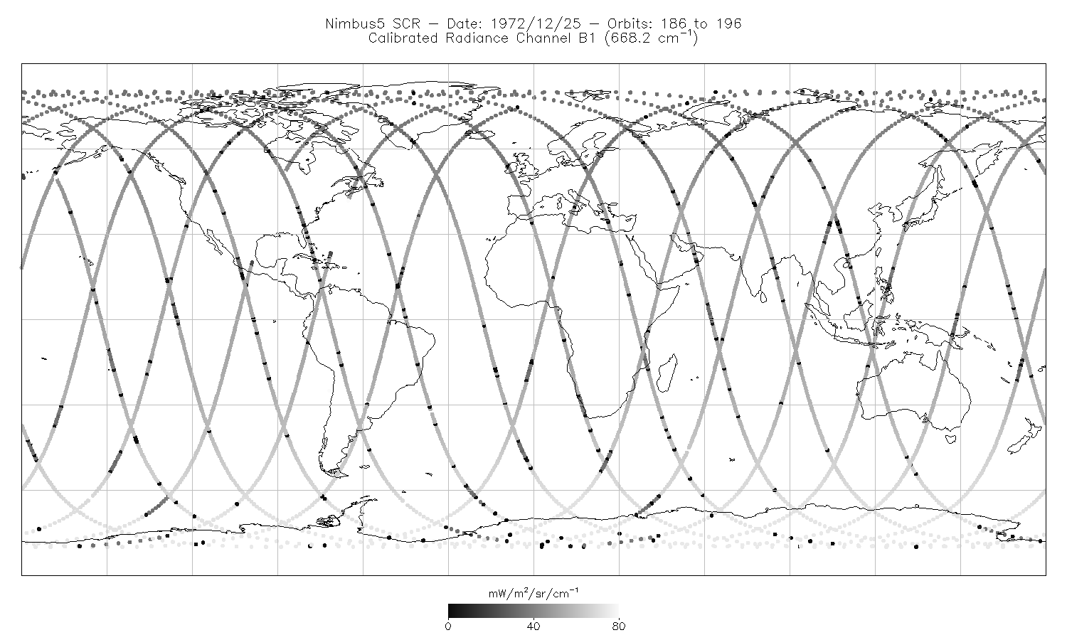
SCR/Nimbus-5 Level 1 Calibrated Radiances V001 (SCRN5L1RAD) at GES DISC
National Aeronautics and Space Administration —
SCRN5L1RAD is the Nimbus-5 Selective Chopper Radiometer (SCR) Level 1 Calibrated Radiances data product. The calibrated radiances are measured at 16 channels from 2.3... -
Federal
CALIPSO IIR Lidar Level 3 Global Energy and Water Cycle Experiment (GEWEX) Cloud, Standard V1-00
National Aeronautics and Space Administration —
CAL_IIR_L3_GEWEX_Cloud-Standard-V1-00 is the Cloud-Aerosol Lidar and Infrared Pathfinder Satellite Observations (CALIPSO) IIR Level 3 Global Energy and Water Cycle...

Official websites use .gov
A
.gov website belongs to an official government
organization in the United States.
Secure .gov websites use HTTPS
A
lock (
) or https:// means you’ve safely connected to
the .gov website. Share sensitive information only on official,
secure websites.