
-
Federal
H13865: NOS Hydrographic Survey , 2024-05-03
National Oceanic and Atmospheric Administration, Department of Commerce —
The National Oceanic and Atmospheric Administration (NOAA) has the statutory mandate to collect hydrographic data in support of nautical chart compilation for safe... -
Federal
H13371: NOS Hydrographic Survey , 2020-09-17
National Oceanic and Atmospheric Administration, Department of Commerce —
The National Oceanic and Atmospheric Administration (NOAA) has the statutory mandate to collect hydrographic data in support of nautical chart compilation for safe... -
Federal
H13928: NOS Hydrographic Survey , 2024-09-27
National Oceanic and Atmospheric Administration, Department of Commerce —
The National Oceanic and Atmospheric Administration (NOAA) has the statutory mandate to collect hydrographic data in support of nautical chart compilation for safe... -
Federal
H13975: NOS Hydrographic Survey , 2024-12-15
National Oceanic and Atmospheric Administration, Department of Commerce —
The National Oceanic and Atmospheric Administration (NOAA) has the statutory mandate to collect hydrographic data in support of nautical chart compilation for safe... -
Federal
H13365: NOS Hydrographic Survey , 2020-08-11
National Oceanic and Atmospheric Administration, Department of Commerce —
The National Oceanic and Atmospheric Administration (NOAA) has the statutory mandate to collect hydrographic data in support of nautical chart compilation for safe... -
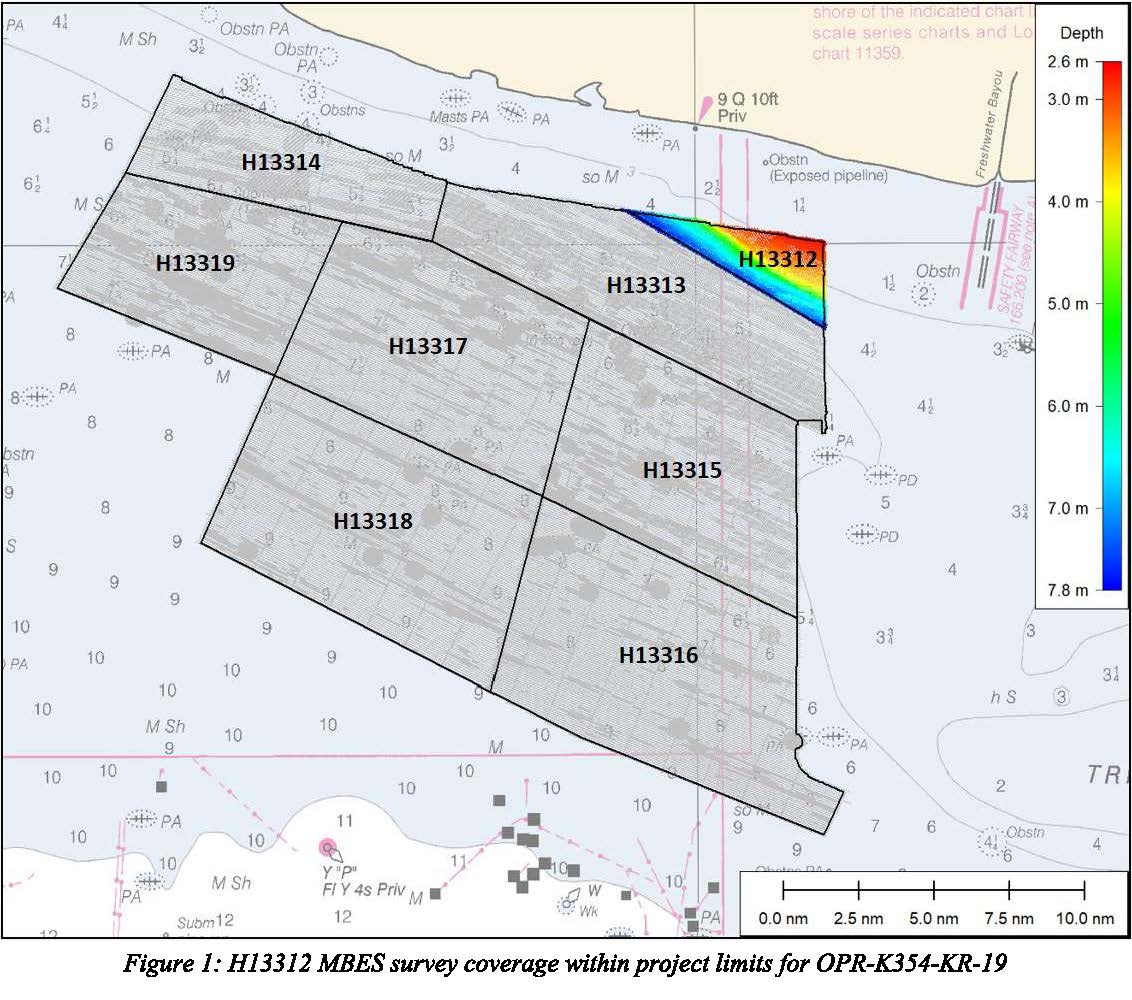
Federal
H13312: NOS Hydrographic Survey , 2019-12-13
National Oceanic and Atmospheric Administration, Department of Commerce —
The National Oceanic and Atmospheric Administration (NOAA) has the statutory mandate to collect hydrographic data in support of nautical chart compilation for safe... -
Federal
H13631: NOS Hydrographic Survey , 2023-06-23
National Oceanic and Atmospheric Administration, Department of Commerce —
The National Oceanic and Atmospheric Administration (NOAA) has the statutory mandate to collect hydrographic data in support of nautical chart compilation for safe... -
Federal
H13366: NOS Hydrographic Survey , 2020-08-07
National Oceanic and Atmospheric Administration, Department of Commerce —
The National Oceanic and Atmospheric Administration (NOAA) has the statutory mandate to collect hydrographic data in support of nautical chart compilation for safe... -
Federal
Bathymetric Position Index (BPI) Zones 5m grid derived from gridded bathymetry of Saipan Island, Commonwealth of the Northern Marianas
National Oceanic and Atmospheric Administration, Department of Commerce —
BPI Zones are derived from a focal mean analysis on bathymetry and slope. The bathymetry grid (5 m cell size) is derived from bathymetry from two sources: Multibeam... -
Federal
H13540: NOS Hydrographic Survey , Mississippi Sound ICW, 2023-11-06
National Oceanic and Atmospheric Administration, Department of Commerce —
The National Oceanic and Atmospheric Administration (NOAA) has the statutory mandate to collect hydrographic data in support of nautical chart compilation for safe... -
Federal
2002 Benthic Grab Data for Catlett and Goodwin Islands on the York River in Chesapeake Bay, Virginia (Ches_2002benthos)
National Oceanic and Atmospheric Administration, Department of Commerce —
This data set represents the benthic community information gathered from grab sampling in 2002 (56 stations).In Fall/Winter 2002, researchers from the Virginia... -
Federal
2003 Sediment Grab Data for Catlett and Goodwin Islands on the York River, Chesapeake Bay, Virginia (Ches_2003sedgrabs)
National Oceanic and Atmospheric Administration, Department of Commerce —
This data set represents the sediment grain size gathered from grab sampling in 2003 (24 stations).In Fall/Winter 2002, researchers from the Virginia Institute of... -
Federal
H13808: NOS Hydrographic Survey , 2023-08-24
National Oceanic and Atmospheric Administration, Department of Commerce —
The National Oceanic and Atmospheric Administration (NOAA) has the statutory mandate to collect hydrographic data in support of nautical chart compilation for safe... -
Federal
Hillshades for the main 8 Hawaiian Islands
National Oceanic and Atmospheric Administration, Department of Commerce —
These hillshade datasets were derived from USGS 7.5' DEM Quads for the main 8 Hawaiian Islands. Individual DEM quads were first converted to a common datum, and... -
Federal
Bathymetry Digital Elevation Model
National Oceanic and Atmospheric Administration, Department of Commerce —
This Digital Elevation Model (DEM) created for the Ocean Reports application is a combination of the NCEI Coastal Relief Model (CRM) and the GEBCO (2014) 1 arc-minute... -
Federal
H11591: NOS Hydrographic Survey , Canaveral-Ponce De Leon, Florida, 2007-08-22
National Oceanic and Atmospheric Administration, Department of Commerce —
The National Oceanic and Atmospheric Administration (NOAA) has the statutory mandate to collect hydrographic data in support of nautical chart compilation for safe... -
Federal
H13592: NOS Hydrographic Survey , 2022-08-18
National Oceanic and Atmospheric Administration, Department of Commerce —
The National Oceanic and Atmospheric Administration (NOAA) has the statutory mandate to collect hydrographic data in support of nautical chart compilation for safe... -
Federal
Gridded bathymetry of Kaneohe Bay, Windward Side Oahu, Main Hawaiian Islands, USA.
National Oceanic and Atmospheric Administration, Department of Commerce —
4-m grid of bathymetric data of Kaneohe Bay, Windward Side Oahu, Main Hawaiian Islands, USA. These netCDF and ASCII grids include multibeam bathymetry from the Reson... -
Federal
H13171: NOS Hydrographic Survey , 2018-12-07
National Oceanic and Atmospheric Administration, Department of Commerce —
The National Oceanic and Atmospheric Administration (NOAA) has the statutory mandate to collect hydrographic data in support of nautical chart compilation for safe... -
Federal
U.S. Interagency Elevation Inventory (USIEI) - Data Download
National Oceanic and Atmospheric Administration, Department of Commerce —
The U.S. Interagency Elevation Inventory (USIEI) displays high-accuracy topographic and bathymetric data for the United States and its territories. The project is a...

Official websites use .gov
A
.gov website belongs to an official government
organization in the United States.
Secure .gov websites use HTTPS
A
lock (
) or https:// means you’ve safely connected to
the .gov website. Share sensitive information only on official,
secure websites.